
1950 Map of Mc Kinley
USGS Topo · Published 1960About this map
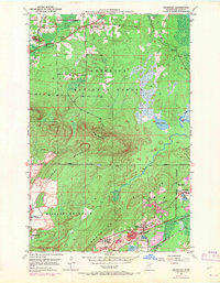
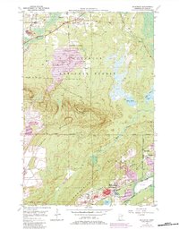
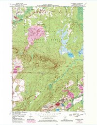
The industrial corridor of the Mesabi Range is clearly defined in this 1950 field-checked study, where the Duluth Missabe and Iron Range railroad snakes through the terrain to serve mining operations. Settlement patterns are concentrated around the extraction sites at McKinley, Elcor, and Belgrade, while the Laurentian Divide cuts across the center, separating the northern waters of the Pike River from the southern industrial landscape. The map captures a moment when mining infrastructure was deeply integrated into local geography, showing significant mine dumps and specialized sites like the Corsica Mine.
Find a feature on this map
29 named features on this map. Tap any name to fly to it.
Don’t see what you’re looking for? This feature index may not catch every label — zoom into the map to look around manually.
Map Details
Editions of this 1950 Mc Kinley Map
4 editions found
Other maps of this area

1950 · Biwabik
USGS Topo · 1:24,000

1950 · Biwabik NW
USGS Topo · 1:24,000

1950 · Biwabik NE
USGS Topo · 1:24,000

1951 · Biwabik
USGS Topo · 1:24,000

1951 · Mc Kinley
USGS Topo · 1:24,000

1951 · Biwabik NE
USGS Topo · 1:24,000

1951 · Biwabik NW
USGS Topo · 1:24,000

1951 · Palo
USGS Topo · 1:24,000

1951 · Gilbert
USGS Topo · 1:24,000

1951 · Eveleth
USGS Topo · 1:24,000