Old Maps of Duluth, Minnesota
Explore 22 old maps of Duluth, spanning from 1895 to today. These high-resolution historic maps reveal how streets, neighborhoods, landmarks, and natural features evolved over time — perfect for genealogy, metal detecting, research, and local history exploration.
What you can do with these maps:
- See how Duluth changed over time: Compare historical maps to modern-day views to trace roads, homesites, rail lines & more.
- View detailed metadata: Each map includes creators, publishers, year, scale, and archive source.
- Overlay maps with satellite & LiDAR: Visualize the past alongside modern tools to explore terrain & human change.
- Trusted historical sources: Maps sourced from the USGS, Library of Congress, and other archives.
- Access maps your way: View online, download high-res files, or order prints for personal or research use.
Start exploring old maps of Duluth to uncover forgotten places, hidden landmarks, and the deep history beneath your feet.
Duluth, MN maps
(22)- 1895 Map of Duluth
 1895 Duluth1895 Print · USGSCovers Duluth, including Hermantown, Proctor, and other nearby areas5 unique versions available
 - 1915 Map of Superior
 1915 Superior1915 Print · USGSCovers Duluth, including Superior, Proctor, and other nearby areas2 unique versions available
 - 1917 Map of Superior
 1917 Superior1917 Print · USGSCovers Duluth, including Superior, Proctor, and other nearby areas3 unique versions available
 - 1953 Map of Lakewood, 1955 Print
 1953 Lakewood1955 Print · USGSCovers Duluth, including Lakewood, Lakewood Township, and other nearby areas4 unique versions available
 - 1953 Map of French River, 1955 Print
 1953 French River1955 Print · USGSCovers Duluth, including Lakewood Township, Duluth Township, and other nearby areas4 unique versions available
 - 1953 Map of Arnold, 1955 Print
 1953 Arnold1955 Print · USGSCovers Duluth, including Gnesen Township, Lakewood Township, and other nearby areas5 unique versions available
 - 1953 Map of Duluth, 1955 Print
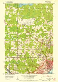
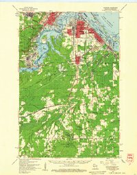
 1953 Duluth1955 Print · USGSCovers Duluth, including Lakewood Township, Lincoln Park, and other nearby areas7 unique versions available
 - 1953 Map of Duluth Heights, 1955 Print
 1953 Duluth Heights1955 Print · USGSCovers Duluth, including Hermantown, Proctor, and other nearby areas5 unique versions available
 - 1953 Map of Duluth, 1959 Print
 1953 Duluth1959 Print · USGSCovers Duluth, including Hermantown, Proctor, and other nearby areas
 - 1953 Map of Ashland, 1964 Print
 1953 Ashland1964 Print · USGSCovers Duluth, including Superior, Ashland, and other nearby areas3 unique versions available
 - 1953 Map of Duluth, 1964 Print
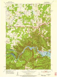
 1953 Duluth1964 Print · USGSCovers Duluth, including Superior, Cloquet, and other nearby areas2 unique versions available
 - 1954 Map of West Duluth, 1955 Print
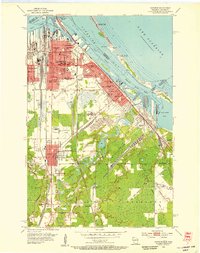
 1954 West Duluth1955 Print · USGSCovers Duluth, including Superior, Proctor, and other nearby areas9 unique versions available
 - 1954 Map of Superior, 1955 Print
 1954 Superior1955 Print · USGSCovers Duluth, including Superior, Parkland, and other nearby areas6 unique versions available
 - 1954 Map of Esko, 1955 Print
 1954 Esko1955 Print · USGSCovers Duluth, including Twin Lakes Township, Gary-New Duluth, and other nearby areas6 unique versions available
 - 1954 Map of Superior, 1959 Print
 1954 Superior1959 Print · USGSCovers Duluth, including Superior, Proctor, and other nearby areas
 - 1958 Map of Ashland
 1958 Ashland1958 Print · USGSCovers Duluth, including Superior, Ashland, and other nearby areas
 - 1958 Map of Duluth
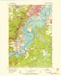
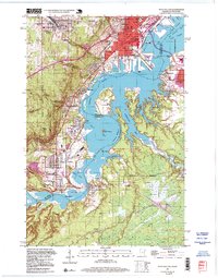
 1958 Duluth1958 Print · USGSCovers Duluth, including Superior, Cloquet, and other nearby areas
 - 1980 Map of Port Wing
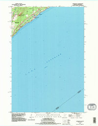
 1980 Port Wing1980 Print · USGSCovers Duluth, including Superior, Lakewood, and other nearby areas
 - 1980 Map of Duluth
 1980 Duluth1980 Print · USGSCovers Duluth, including Superior, Cloquet, and other nearby areas
 - 1992 Map of Lakewood, 1995 Print
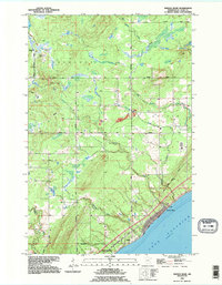
 1992 Lakewood1995 Print · USGSCovers Duluth, including Lakewood, Lakewood Township, and other nearby areas2 unique versions available
 - 1992 Map of French River, 1995 Print
 1992 French River1995 Print · USGSCovers Duluth, including Lakewood Township, Duluth Township, and other nearby areas
 - 1997 Map of West Duluth, 1999 Print
 1997 West Duluth1999 Print · USGSCovers Duluth, including Superior, Proctor, and other nearby areas
End of results
Showing maps 1-22 of 22
Top cities near Duluth
- Superior historical maps
- Hermantown historical maps
- Proctor historical maps
- Lakewood historical maps
- Parkland historical maps
- Fredenberg historical maps
See more
Top neighborhoods of Duluth
- Irving historical maps
- Norton Park historical maps
- Oneota historical maps
- Bayview Heights historical maps
- Park Point historical maps
- Piedmont Heights historical maps
See more
Frequently asked questions
- What are the different types of historical maps available for Duluth?
- What is the oldest map of Duluth?
- Where can I purchase historical maps of Duluth for my home or office?
- Where can I download high-res historical maps of Duluth?
- Are there historical topographic maps available for Duluth?
- Is there historical aerial imagery available for Duluth?
- Where are historical maps of Duluth sourced from?