
1953 Map of Lakewood
USGS Topo · Published 1955About this map
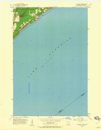
Lake Superior dominates the landscape of this mid-century survey, meeting the shore along a series of parallel scenic roadways including Shore Line Drive and North Shore Drive. The settlement of Lakewood serves as a focal point near the northern edge of Duluth, where the industrial and transport infrastructure of the era is evident in the path of the Duluth Missabe and Iron Range railroad. This line follows the lakefront closely, supporting the region's historical connection to iron ore transport. Further inland, the terrain rises toward Moose Mountain, with the Lester River cutting through the wooded hills. Small local landmarks like the North Shore Chapel and a waterfront Pumping Station provide specific points of interest for those tracing the development of the lake's North Shore before the expansion of modern highways.
Find a feature on this map
16 named features on this map. Tap any name to fly to it.
Don’t see what you’re looking for? This feature index may not catch every label — zoom into the map to look around manually.
Map Details
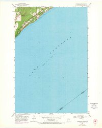
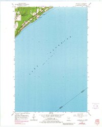
Editions of this 1953 Lakewood Map
4 editions found
Other maps of this area

1895 · Duluth
USGS Topo · 1:62,500

1915 · Superior
USGS Topo · 1:48,000

1917 · Superior
USGS Topo · 1:62,500

1949 · Poplar
USGS Topo · 1:48,000

1953 · French River
USGS Topo · 1:24,000

1953 · Arnold
USGS Topo · 1:24,000

1953 · Duluth
USGS Topo · 1:24,000

1953 · Knife River
USGS Topo · 1:24,000

1953 · Duluth
USGS Topo · 1:62,500

1953 · Ashland
USGS Topo · 1:250,000