Old Maps of Embarrass, Minnesota for Metal Detecting
Plan your next treasure hunt with 12 historic maps of Embarrass. Find old homesites, ghost towns, trails, and gathering spots that may be lost to time — perfect for identifying promising metal detecting locations.
- Locate forgotten sites: Uncover places like long-lost settlements, abandoned rail lines, or gathering spots.
- Plan better hunts: Use map overlays combined with LiDAR or satellite views to narrow in on historically rich areas.
- Made for detectorists: Thousands of hobbyists use these maps to discover relics, coins, and hidden history.
Use these historic maps to boost your research and find new opportunities beneath the surface of Embarrass.
Embarrass, MN maps
(12)- 1949 Map of Embarrass, 1959 Print
 1949 Embarrass1959 Print · USGSThe Embarrass River valley in the late 1940s shows a landscape of glacial lakes and northern timber. Genealogists can locate School No 70 and the village of Embarrass along the Duluth Missabe and Iron Range railroad.4 unique versions available
 - 1950 Map of Embarrass
 1950 Embarrass1950 Print · USGSSt. Louis County in the post-war era reveals a landscape of Iron Range rail lines and northern forests. Genealogists and local historians can trace the early layout of Embarrass, the location of School No 70, and dozens of named water bodies like Heikkilla Lake.
 - 1954 Map of Hibbing, 1966 Print
 1954 Hibbing1966 Print · USGSNorthern Minnesota's Iron Range thrives during the mid-1960s, showing the industrial landscape between the Mesabi Range and the Mississippi River. Genealogists and historians can trace the rail lines of the Great Northern RR through mining hubs like Hibbing and Virginia.3 unique versions available
 - 1957 Map of Hibbing
 1957 Hibbing1957 Print · USGSNorthern Minnesota's Iron Range is shown at its industrial peak in the mid-fifties, dominated by the massive iron pits and rail corridors of the Mesabi Range. Researchers can trace the rail networks of the Duluth Missabe and Iron Range and locate mining hubs like Hibbing, Virginia, and Bovey.
 - 1958 Map of Hibbing
 1958 Hibbing1958 Print · USGSThe Mesabi Iron Range reached its mid-century height during this era, defining the landscape between Grand Rapids and Virginia. Genealogists and historians can trace the mining-town networks of Hibbing and Chisholm or locate numerous iron mines and rail spurs.
 - 1964 Map of Hibbing
 1964 Hibbing1964 Print · USGSNorthern Minnesota’s iron-rich corridor is captured here during a peak era of mid-century industrial activity. Researchers can trace the rail-to-mine connections through Mesabi Range towns like Hibbing and Virginia or locate lakefront settlements near Pokegama Lake.
 - 1994 Map of Vermillion Lake
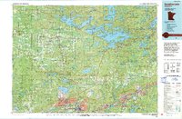 1994 Vermillion Lake1994 Print · USGSThe Mesabi Iron Range meets the North Woods in the 1990s, showcasing the heavy industrial footprint of the Duluth Missabe & Iron Range RR. Trace the sprawling works of the Mines near Virginia or the intricate island shorelines of Vermilion Lake.
 - 2010 Map of Embarrass, 2010 Print
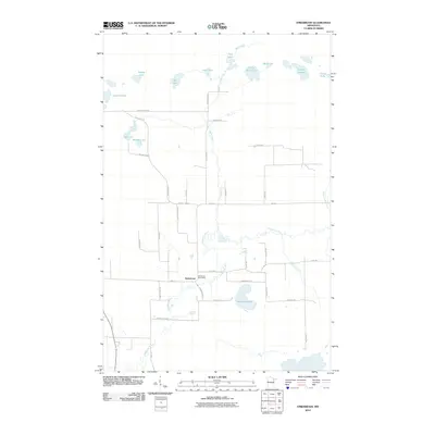 2010 Embarrass2010 Print · USGSEmbarrass and its surrounding lake country are captured here at the start of the 2010s. Genealogists and local historians can trace family-named routes like Hanka Nevala Rd and Waisanen Rd near the Embarrass Post Office and the winding Embarrass River.
 - 2013 Map of Embarrass, 2013 Print
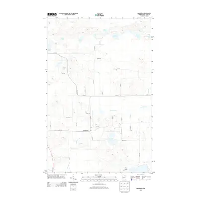 2013 Embarrass2013 Print · USGSThe northern Iron Range comes to life in this early 21st-century survey of the Embarrass community and its surrounding lake country. Genealogists can trace local roots along family-named routes like Pylka Rd and Beckman Rd near the Embarrass River.
 - 2016 Map of Embarrass, 2016 Print
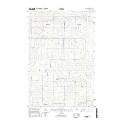 2016 Embarrass2016 Print · USGSThe rural settlement of Embarrass is captured here in the mid-2010s, surrounded by a dense network of glacial lakes and northern wetlands. Researchers can trace family-named roads like Hanka Nevala Rd and Koskela Rd alongside the winding Embarrass River.
 - 2019 Map of Embarrass, 2019 Print
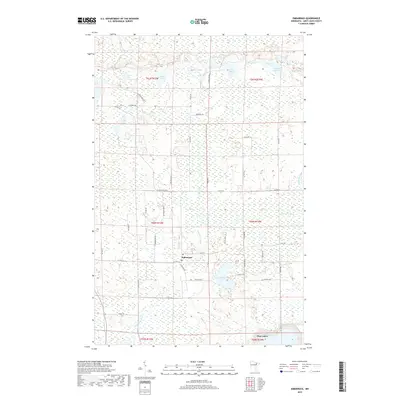 2019 Embarrass2019 Print · USGSNorthern Minnesota's iron range country is captured here during the late twenty-teens, showing a landscape defined by the Embarrass River. Genealogists and researchers can trace the rural layouts of Embarrass and Hoyt Lakes along with local landmarks like Heikkilla Lake.
 - 2022 Map of Embarrass, 2022 Print
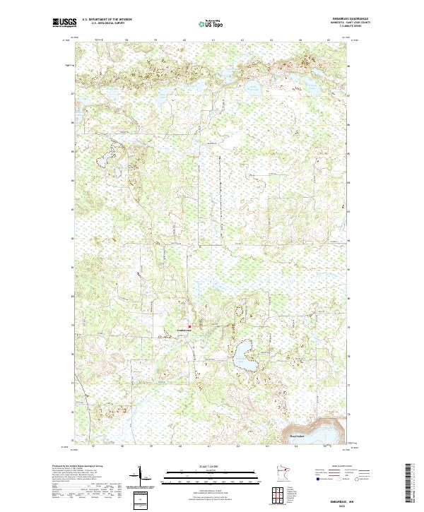 2022 Embarrass2022 Print · USGSThe rural Iron Range country near Embarrass comes into focus in this recent survey of St. Louis County. Genealogists and local historians can trace legacy family-named routes such as Hanka Nevala Rd and find the headwaters of the Embarrass River.
End of results
Showing maps 1-12 of 12
Top cities near Embarrass
- Hoyt Lakes historical maps
- Aurora historical maps
- Babbitt historical maps
- Biwabik historical maps
- Tower historical maps
- Eagles Nest historical maps
See more
Frequently asked questions
- What are the different types of historical maps available for Embarrass?
- What is the oldest map of Embarrass?
- Where can I purchase historical maps of Embarrass for my home or office?
- Where can I download high-res historical maps of Embarrass?
- Are there historical topographic maps available for Embarrass?
- Is there historical aerial imagery available for Embarrass?
- Where are historical maps of Embarrass sourced from?