Old Maps of Fairbanks Township, Minnesota for Genealogy
Trace your family roots with 32 historic maps of Fairbanks Township. These high-res maps reveal old neighborhoods, homesites, landmarks, and streets — helping you uncover where your ancestors lived and how the area evolved over time.
- Explore historic neighborhoods: Identify where your relatives may have lived in the 1800s or 1900s.
- Compare maps over time: Trace the changes in streets, buildings, and landmarks for multi-generational research.
- Perfect for genealogy & ancestry research: Used by family historians and researchers to map out lineage and migration.
These maps are an incredible resource for exploring your personal connection to Fairbanks Township's past.
Fairbanks Township, MN maps
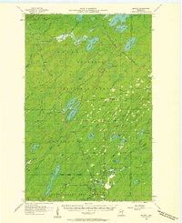
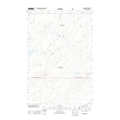
(32)- 1954 Map of Two Harbors, 1964 Print
 1954 Two Harbors1964 Print · USGSThe Minnesota North Shore and Superior National Forest are shown here in the mid-fifties, just as the taconite industry was reshaping the coast. Genealogists and historians can trace the rail lines of the Duluth Missabe and Iron Range or locate remote outposts like Sawbill Landing and Section Thirty.2 unique versions available
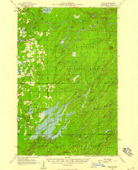
 - 1954 Map of Hibbing, 1966 Print
 1954 Hibbing1966 Print · USGSNorthern Minnesota's Iron Range thrives during the mid-1960s, showing the industrial landscape between the Mesabi Range and the Mississippi River. Genealogists and historians can trace the rail lines of the Great Northern RR through mining hubs like Hibbing and Virginia.3 unique versions available
 - 1957 Map of Two Harbors
 1957 Two Harbors1957 Print · USGSMinnesota's North Shore and the Arrowhead region are shown here in the mid-fifties as the taconite industry and cold war defense shaped the landscape. Researchers can trace the Duluth Missabe and Iron Range railroad, locate the Split Rock Light, and explore the iron-mining era at Taconite.
 - 1957 Map of Hibbing
 1957 Hibbing1957 Print · USGSNorthern Minnesota's Iron Range is shown at its industrial peak in the mid-fifties, dominated by the massive iron pits and rail corridors of the Mesabi Range. Researchers can trace the rail networks of the Duluth Missabe and Iron Range and locate mining hubs like Hibbing, Virginia, and Bovey.
 - 1957 Map of Brimson, 1958 Print
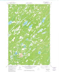
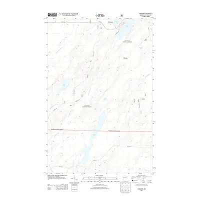
 1957 Brimson1958 Print · USGSNortheast Minnesota’s iron range and timber country are captured here in the late fifties, showing a landscape defined by rail and water. Genealogists and historians can trace old community sites like Toimi, Brimson, and Fairbanks alongside the Skibo Mill and Old Railroad Grade.3 unique versions available
 - 1957 Map of Markham, 1958 Print
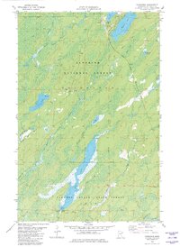
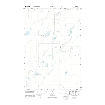
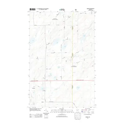
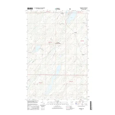
 1957 Markham1958 Print · USGSSt. Louis County in the late fifties was a landscape of dense state forests and critical waterways supporting the regional Iron Range. Researchers can locate the settlement of Markham and trace the paths of the Duluth Missabe and Iron Range railroad and the sprawling Whiteface Reservoir.2 unique versions available
 - 1958 Map of Hibbing
 1958 Hibbing1958 Print · USGSThe Mesabi Iron Range reached its mid-century height during this era, defining the landscape between Grand Rapids and Virginia. Genealogists and historians can trace the mining-town networks of Hibbing and Chisholm or locate numerous iron mines and rail spurs.
 - 1958 Map of Two Harbors
 1958 Two Harbors1958 Print · USGSThe North Shore and Arrowhead region of Minnesota are captured in the 1950s as iron ore shipping and wilderness preservation shaped the land. Researchers can trace the Duluth Missabe and Iron Range RR, find maritime landmarks like Split Rock Light, and locate remote settlements from Babbitt to Grand Marais.
 - 1964 Map of Hibbing
 1964 Hibbing1964 Print · USGSNorthern Minnesota’s iron-rich corridor is captured here during a peak era of mid-century industrial activity. Researchers can trace the rail-to-mine connections through Mesabi Range towns like Hibbing and Virginia or locate lakefront settlements near Pokegama Lake.
 - 1964 Map of Two Harbors
 1964 Two Harbors1964 Print · USGSThe North Shore of Lake Superior is captured here during the mid-1950s, a time of significant industrial mining growth and emerging tourism. Genealogists and historians can trace the rail lines of the Duluth Missabe and Iron Range and locate landmarks like Split Rock Light and the U S Air Force Radar Station.
 - 1976 Map of Markham SE, 1979 Print
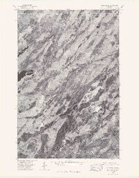 1976 Markham SE1979 Print · USGSThe northern forests of St. Louis County are captured in high detail during the mid-seventies in this aerial orthophoto. Trace the winding hydrology of the North Branch Whiteface River and South Branch Whiteface River.
 - 1976 Map of Brimson SW, 1979 Print
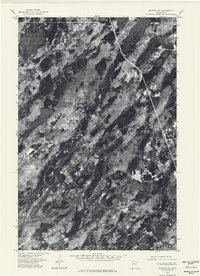 1976 Brimson SW1979 Print · USGSSt. Louis County is captured from above in the mid-1970s, revealing a landscape defined by forest and water. Researchers can trace the winding West Branch Cloquet River and the pristine shorelines of Wolf Lake.
 - 1976 Map of Two Harbors, 1994 Print
 1976 Two Harbors1994 Print · USGSThe North Shore of Lake Superior comes alive in this mid-seventies survey of the Minnesota timber and iron country. Trace the Duluth Missabe and Iron Range RR from Two Harbors past Split Rock Lighthouse State Park to the industrial port at Silver Bay.
 - 1977 Map of Hibbing, 1994 Print
 1977 Hibbing1994 Print · USGSThe Iron Range of northern Minnesota comes into sharp focus during the late seventies, detailing the massive mining works and rail networks of St. Louis County. Researchers can trace family roots in Hibbing, Chisholm, and Virginia, or locate old post offices like Leoneth and Iron.
 - 1981 Map of Brimson, 1982 Print
 1981 Brimson1982 Print · USGSSt. Louis County is captured here in the early 1980s, where the logging and rail history of northern Minnesota meets the wilderness. Researchers can locate remote burial sites at Brimson Cem, trace the Duluth Missabe and Iron Range tracks, or follow the Old Railroad Grade.2 unique versions available
 - 1981 Map of Harris Lake, 1982 Print
 1981 Harris Lake1982 Print · USGSThe St. Louis County woods were heavily managed for timber and recreation during the early eighties. Researchers can trace seasonal routes like the Snowmobile Trail and Winter Trail near Harris Lake and the Whiteface Reservoir.3 unique versions available
 - 1982 Map of Fairbanks
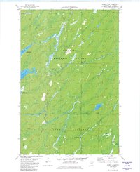
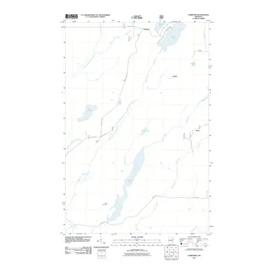
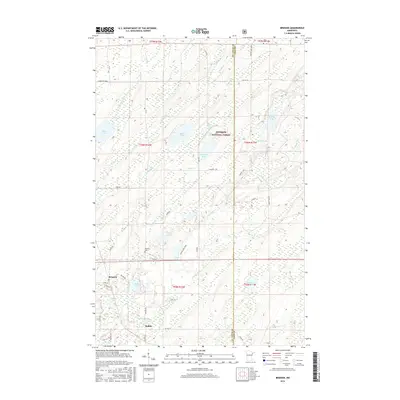
 1982 Fairbanks1982 Print · USGSSt. Louis County is shown during the early 1980s as a landscape of timber and transit within the Superior National Forest. Researchers can trace the Duluth Missabe and Iron Range Railroad as it passes the small outposts of Fairbanks and Brimson.2 unique versions available
 - 2011 Map of Harris Lake, 2011 Print
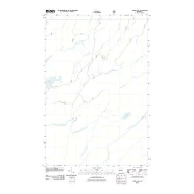 2011 Harris Lake2011 Print · USGSCovers Fairbanks Township, including Ault Township, Hush Lake, and other nearby areas
 - 2011 Map of Fairbanks, 2011 Print
 2011 Fairbanks2011 Print · USGSCovers Fairbanks Township, including Fairbanks, Ault Township, and other nearby areas
 - 2011 Map of Brimson, 2011 Print
 2011 Brimson2011 Print · USGSCovers Fairbanks Township, including Ault Township, Brimson, and other nearby areas
 - 2013 Map of Brimson, 2013 Print
 2013 Brimson2013 Print · USGSCovers Fairbanks Township, including Ault Township, Brimson, and other nearby areas
 - 2013 Map of Fairbanks, 2013 Print
 2013 Fairbanks2013 Print · USGSCovers Fairbanks Township, including Fairbanks, Ault Township, and other nearby areas
 - 2013 Map of Harris Lake, 2013 Print
 2013 Harris Lake2013 Print · USGSCovers Fairbanks Township, including Ault Township, Hush Lake, and other nearby areas
 - 2016 Map of Brimson, 2016 Print
 2016 Brimson2016 Print · USGSCovers Fairbanks Township, including Ault Township, Brimson, and other nearby areas
 - 2016 Map of Fairbanks, 2016 Print
 2016 Fairbanks2016 Print · USGSCovers Fairbanks Township, including Fairbanks, Ault Township, and other nearby areas
Showing maps 1-25 of 32
Top cities near Fairbanks Township
Top neighborhoods of Fairbanks Township
Frequently asked questions
- What are the different types of historical maps available for Fairbanks Township?
- What is the oldest map of Fairbanks Township?
- Where can I purchase historical maps of Fairbanks Township for my home or office?
- Where can I download high-res historical maps of Fairbanks Township?
- Are there historical topographic maps available for Fairbanks Township?
- Is there historical aerial imagery available for Fairbanks Township?
- Where are historical maps of Fairbanks Township sourced from?