Old Maps of Midway Township, Minnesota for Academic Research
Study the evolution of Midway Township with 33 high-resolution historic maps. Whether you're teaching, researching, or modeling changes in land use, these maps provide essential visual documentation of urban, environmental, and geographic change.
- Analyze long-term change: Track patterns in development, transportation, and natural features.
- Ideal for environmental or urban studies: Support academic projects with primary historical map data.
- Use in the classroom or lab: Educators and researchers rely on these maps to bring historical context to life.
These maps are a powerful tool for teaching, research, and visualizing how Midway Township has changed over the decades.
Midway Township, MN maps
(33)- 1895 Map of Duluth
 1895 Duluth1895 Print · USGSDuluth in the mid-1890s shows a rapidly expanding port city before the turn of the century. Genealogists and historians can trace the early street grids of Woodland Park and Lester Park or explore the original shoreline of Duluth Harbor.5 unique versions available
 - 1915 Map of Superior
 1915 Superior1915 Print · USGSThe Twin Ports region at the peak of the industrial era shows a landscape defined by massive rail yards and shoreline development. Genealogists and historians can locate early neighborhoods like Morgan Park, find rural landmarks like Saunders Cem, and trace the numerous lines of the Northern Pacific railroad.2 unique versions available
 - 1917 Map of Superior
 1917 Superior1917 Print · USGSThe Twin Ports region at the height of its industrial boom reveals a landscape of massive rail yards and shipping docks. Trace the development of South Superior and Steelton, or locate early rural landmarks like Selden School and Manitou Falls.3 unique versions available
 - 1953 Map of Adolph, 1955 Print
 1953 Adolph1955 Print · USGSSt. Louis County is captured here in the early fifties, showing a landscape defined by industrial rail lines and lakefront settlements. Genealogists and rail historians can trace the Duluth Missabe and Iron Range line through Adolph and Munger, or locate Canosia Cem and the Pike Lake Sch.5 unique versions available
 - 1953 Map of Duluth Heights, 1955 Print
 1953 Duluth Heights1955 Print · USGSThe plateau above Lake Superior comes into focus in the early 1950s as Hermantown and Duluth Heights expand into their modern forms. Genealogists and local historians can trace rural schools and family plots at Gethsemane Ch, Hermantown Cem, and the Jewish Cem.5 unique versions available
 - 1953 Map of Duluth, 1959 Print
 1953 Duluth1959 Print · USGSThe port city of Duluth and its timber-and-iron hinterlands are captured here in the early 1950s. Genealogists and historians can locate family landmarks from Minnesota Point to the Duluth Municipal Airport, including Calvary Cem and Lakewood Sch.
 - 1953 Map of Duluth, 1964 Print
 1953 Duluth1964 Print · USGSNortheastern Minnesota and northwestern Wisconsin are shown here during a period of industrial maturity and expanding conservation. Genealogists and historians can trace rail-connected towns like McGrath and Wahkon, or locate heritage sites within the Fond du Lac Indian Reservation.2 unique versions available
 - 1954 Map of West Duluth, 1955 Print
 1954 West Duluth1955 Print · USGSThe industrial waterfronts of the Twin Ports are captured here during the mid-fifties, showing the dense rail networks and residential neighborhoods of the St. Louis River valley. Researchers can trace family sites and local landmarks from Morgan Park to the Oneota Cemetery and the height of Bardon Peak.9 unique versions available
 - 1954 Map of Esko, 1955 Print
 1954 Esko1955 Print · USGSThe St. Louis River valley and the community of Esko are shown here in the mid-1950s as the region's rail and park systems were fully established. Genealogists and local historians can trace the early footprints of Fond du Lac, the Finnish Ch, and the winding Duluth Missabe and Iron Range railroad.5 unique versions available
 - 1954 Map of Superior, 1959 Print
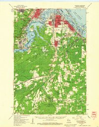 1954 Superior1959 Print · USGSThe Twin Ports and Douglas County are captured in the mid-fifties, showing the industrial waterfronts and rail yards at their peak. Researchers can locate vanished landmarks like the Concrete Sch or trace family roots at St Joseph Orphanage and Morgan Park.
 - 1958 Map of Duluth
 1958 Duluth1958 Print · USGSNortheastern Minnesota and the Wisconsin borderlands are shown in detail during the late 1950s, centered on the bustling rail yards and ports of Duluth. You can trace the historic routes of the Soo Line and Duluth Missabe & Iron Range through small towns like McGrath, Bruno, and Wrenshall.
 - 1980 Map of Duluth
 1980 Duluth1980 Print · USGSThe Twin Ports of the early 1980s showcase a landscape defined by heavy rail lines and Lake Superior shipping. Trace the iron-ore routes through Proctor or locate family sites near Sunrise Memorial Cem and Floodwood.
 - 1997 Map of West Duluth, 1999 Print
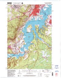 1997 West Duluth1999 Print · USGSThe industrial heart of the Twin Ports comes alive in this late-century study of the riverfront and its rail-connected neighborhoods. Genealogists and historians can trace family roots through Oneota Cemetery or locate old school sites like St Patricks Sch and Stowe Sch.
 - 2010 Map of West Duluth, 2010 Print
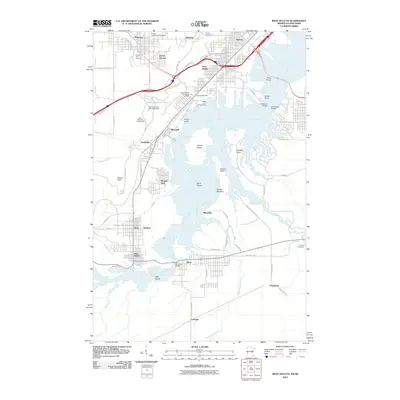 2010 West Duluth2010 Print · USGSThe industrial and recreational landscape of the lower Saint Louis River is captured here in the early twenty-first century. Researchers can trace the boundaries of historic company towns like Morgan Park or locate family plots at Oneota Cemetery and Calvary Cemetery.
 - 2010 Map of Duluth Heights, 2010 Print
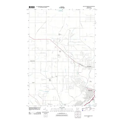 2010 Duluth Heights2010 Print · USGSThe upland plateau above Lake Superior comes into focus here in the early twenty-first century, showing the expansion of Hermantown and Duluth Heights. Local historians can trace family roots at Sunrise Memorial Cemetery or locate the Proctor Speedway/Fairgrounds.
 - 2010 Map of Adolph, 2010 Print
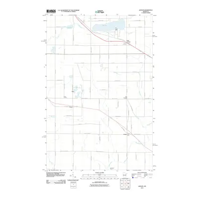 2010 Adolph2010 Print · USGSSaint Louis County is captured here in the early twenty-first century, showing the rural communities between Duluth and the iron ranges. Researchers can trace family history at Canosia Cemetery or locate the old Adolph Post Office and the settlement of Munger.
 - 2011 Map of Esko, 2011 Print
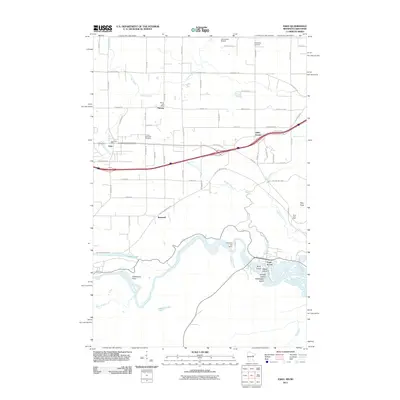 2011 Esko2011 Print · USGSThe Saint Louis River valley outside Duluth comes alive in this 2011 survey, showing a landscape of hydroelectric power and deep-rooted settlements. Genealogists can locate family landmarks like the Finnish Apostolic Cemetery and the Harney Post Office.
 - 2013 Map of Esko, 2013 Print
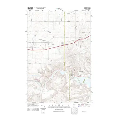 2013 Esko2013 Print · USGSThe borderlands of Minnesota and Wisconsin are mapped here in the early twenty-first century as they meet the banks of the Saint Louis River. Genealogists and local historians can trace family connections at the Finnish Apostolic Cem and locate historic crossroads like Eldes Corner and Harney.
 - 2013 Map of Adolph, 2013 Print
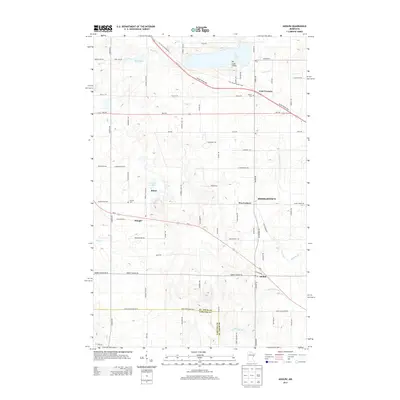 2013 Adolph2013 Print · USGSSaint Louis County at the start of the 2010s shows a landscape of growing residential hubs and deep-rooted local history. Researchers can trace the development of Hermantown and Adolph or locate ancestral sites like Canosia Cem and Solway Cem.
 - 2013 Map of West Duluth, 2013 Print
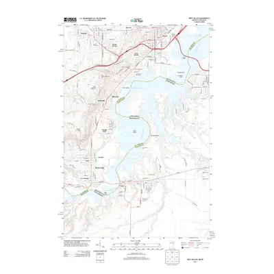 2013 West Duluth2013 Print · USGSThe industrial riverfront of Duluth and its neighboring suburbs are captured here in the early twenty-first century. Researchers can trace the development of planned communities like Morgan Park or locate family sites near Oneota Cem and Graceland Cem.
 - 2013 Map of Duluth Heights, 2013 Print
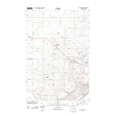 2013 Duluth Heights2013 Print · USGSDuluth and its western suburbs appear here in the early twenty-first century, showing a landscape defined by the airport and steep river valleys. Researchers can locate several burial sites like Oneota Cem, local institutions like Lake Superior Coll, and the Proctor Speedway/Fairgrounds.
 - 2016 Map of West Duluth, 2016 Print
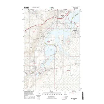 2016 West Duluth2016 Print · USGSThe industrial waterfront of the Twin Ports is captured in detail during the twenty-first century, showing the intricate boundary between Minnesota and Wisconsin. Trace the development of workers' communities like Morgan Park and Steelton or locate the historic Oneota Cem near the riverbanks.
 - 2016 Map of Esko, 2016 Print
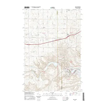 2016 Esko2016 Print · USGSThe river border between Minnesota and Wisconsin comes alive in this 2010s survey of the Saint Louis River valley. Local historians can trace the geography of river settlements from Fond du Lac to Esko, alongside landmarks like Oldenburg Point and the Finnish Apostolic Cem.
 - 2016 Map of Adolph, 2016 Print
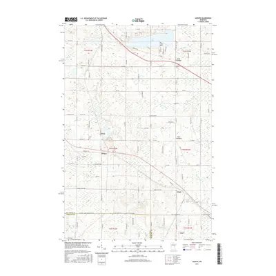 2016 Adolph2016 Print · USGSNortheastern Minnesota's transition from river valley to upland lakes is captured here in the mid-2010s. Researchers can locate family landmarks like Canosia Cem, the settlement of Adolph, and the geographic point of Ne-i-ash-i Point on Pike Lake.
 - 2016 Map of Duluth Heights, 2016 Print
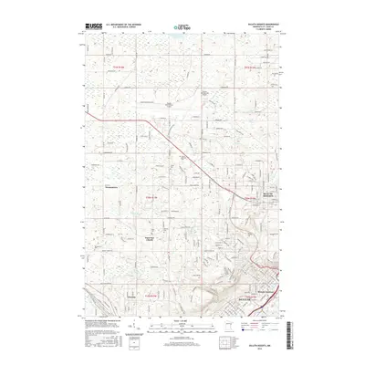 2016 Duluth Heights2016 Print · USGSThe heights above Duluth are captured in this mid-2010s survey, showing the busy corridor between Hermantown and the city's ridge-top neighborhoods. Genealogists and historians can locate several local landmarks, from the Sunrise Memorial Cem and Saint Paul Church to the rail hubs at Missabe Junction.
Showing maps 1-25 of 33
Top cities near Midway Township
- Duluth historical maps
- Superior historical maps
- Cloquet historical maps
- Hermantown historical maps
- Proctor historical maps
- Grand Lake historical maps
See more
Top neighborhoods of Midway Township
Frequently asked questions
- What are the different types of historical maps available for Midway Township?
- What is the oldest map of Midway Township?
- Where can I purchase historical maps of Midway Township for my home or office?
- Where can I download high-res historical maps of Midway Township?
- Are there historical topographic maps available for Midway Township?
- Is there historical aerial imagery available for Midway Township?
- Where are historical maps of Midway Township sourced from?