Old Maps of Sunday Lake, Minnesota for Academic Research
Study the evolution of Sunday Lake with 15 high-resolution historic maps. Whether you're teaching, researching, or modeling changes in land use, these maps provide essential visual documentation of urban, environmental, and geographic change.
- Analyze long-term change: Track patterns in development, transportation, and natural features.
- Ideal for environmental or urban studies: Support academic projects with primary historical map data.
- Use in the classroom or lab: Educators and researchers rely on these maps to bring historical context to life.
These maps are a powerful tool for teaching, research, and visualizing how Sunday Lake has changed over the decades.
Sunday Lake, MN maps
(15)- 1957 Map of Quetico, 1967 Print
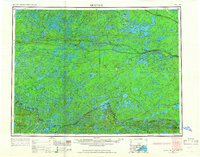 1957 Quetico1967 Print · USGSThe Ontario-Minnesota borderlands are captured here in the mid-fifties, showing the vast wilderness of the Boundary Waters before modern development. Genealogists and researchers can trace rail settlements along the Canadian National Railways including Atikokan, Sapawe, and Kashabowie.2 unique versions available
 - 1963 Map of Friday Bay, 1965 Print
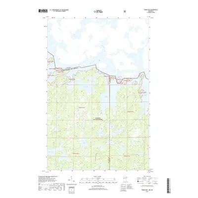
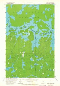 1963 Friday Bay1965 Print · USGSThe international borderlands of Minnesota and Ontario were a pristine wilderness in the 1960s. Researchers can trace the ancient canoe routes between Friday Bay and Saturday Bay or locate secluded waters like Ritual Lake and Bear Trap Lake.2 unique versions available
 - 1963 Map of Iron Lake, 1965 Print
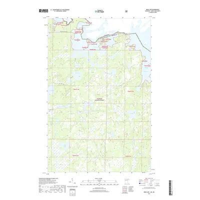
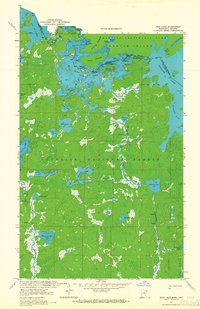 1963 Iron Lake1965 Print · USGSThe international border between Minnesota and Ontario was a roadless expanse of lakes and portages in the 1960s. Outdoor enthusiasts and researchers can trace ancient canoe routes through Curtain Falls, the islands of Iron Lake, and the remote Nibin Lake.2 unique versions available
 - 1968 Map of Quetico
 1968 Quetico1968 Print · USGSThe Ontario-Minnesota borderlands are captured here in the late 1960s, showing the vast wilderness of the Boundary Waters. Researchers can trace the Canadian National rail line through Atikokan or explore the interior lakes of Quetico Provincial Park and Hunter Island.
 - 1977 Map of Basswood Lake, 1994 Print
 1977 Basswood Lake1994 Print · USGSThe Boundary Waters and Ontario’s wilderness meet in the late seventies across a vast network of interconnected glacial lakes. Researchers can trace the international line through Basswood Lake, Crooked Lake, and around the massive Hunter Island.
 - 2011 Map of Iron Lake, 2011 Print
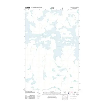
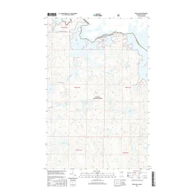
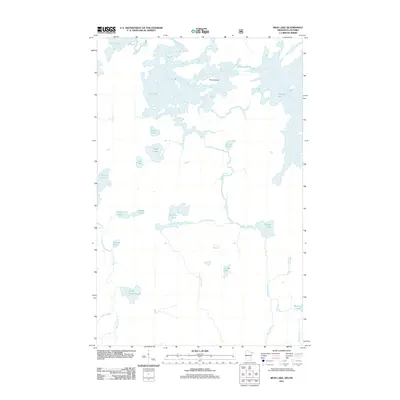 2011 Iron Lake2011 Print · USGSCovers Sunday Lake, including Unorganized Rainy River, Slim Lake, and other nearby areas
 - 2011 Map of Friday Bay, 2011 Print
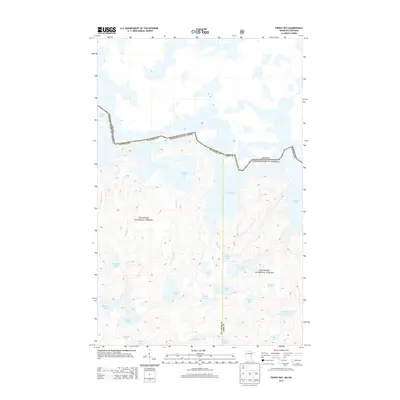
 2011 Friday Bay2011 Print · USGSCovers Sunday Lake, including Unorganized Rainy River, Fall Lake Township, and other nearby areas
 - 2013 Map of Iron Lake, 2013 Print
 2013 Iron Lake2013 Print · USGSCovers Sunday Lake, including Unorganized Rainy River, Slim Lake, and other nearby areas
 - 2013 Map of Friday Bay, 2013 Print
 2013 Friday Bay2013 Print · USGSCovers Sunday Lake, including Unorganized Rainy River, Fall Lake Township, and other nearby areas
 - 2016 Map of Friday Bay, 2016 Print
 2016 Friday Bay2016 Print · USGSCovers Sunday Lake, including Unorganized Rainy River, Fall Lake Township, and other nearby areas
 - 2016 Map of Iron Lake, 2016 Print
 2016 Iron Lake2016 Print · USGSCovers Sunday Lake, including Unorganized Rainy River, Slim Lake, and other nearby areas
 - 2019 Map of Friday Bay, 2019 Print
 2019 Friday Bay2019 Print · USGSCovers Sunday Lake, including Unorganized Rainy River, Fall Lake Township, and other nearby areas
 - 2019 Map of Iron Lake, 2019 Print
 2019 Iron Lake2019 Print · USGSCovers Sunday Lake, including Unorganized Rainy River, Slim Lake, and other nearby areas
 - 2022 Map of Friday Bay, 2022 Print
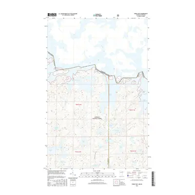
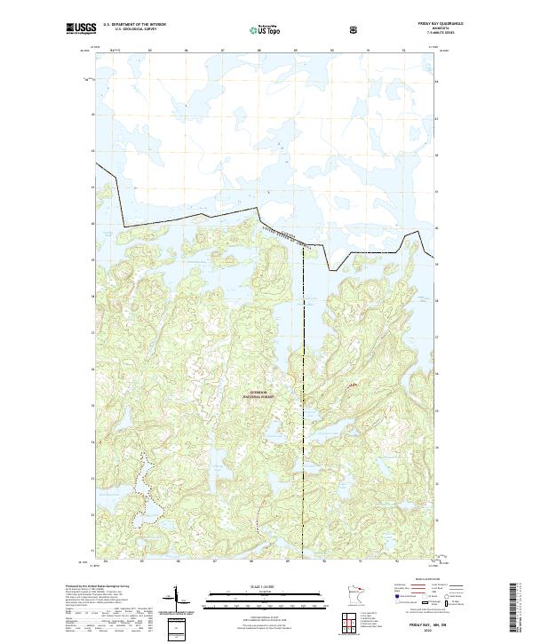 2022 Friday Bay2022 Print · USGSThe Minnesota-Canada borderlands appear in striking detail in this survey of the Superior National Forest wilderness. Trace the remote Wagosh-Lake-Gun Lake-Trl and the intricate sequence of Friday Bay, Saturday Bay, and Papoose Lake.
 - 2022 Map of Iron Lake, 2022 Print
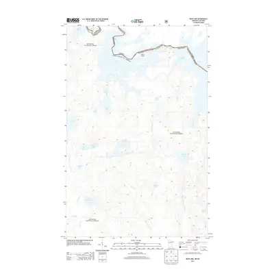
 2022 Iron Lake2022 Print · USGSThe Minnesota wilderness at the Canadian border remains a pristine labyrinth of waterways and portages as seen in this 2022 survey. Trace historic backcountry routes like the Iron-Dark Trl or find secluded spots like Peterson Bay and Three Island.
End of results
Showing maps 1-15 of 15
Frequently asked questions
- What are the different types of historical maps available for Sunday Lake?
- What is the oldest map of Sunday Lake?
- Where can I purchase historical maps of Sunday Lake for my home or office?
- Where can I download high-res historical maps of Sunday Lake?
- Are there historical topographic maps available for Sunday Lake?
- Is there historical aerial imagery available for Sunday Lake?
- Where are historical maps of Sunday Lake sourced from?