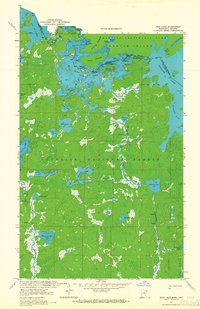
1963 Map of Iron Lake
USGS Topo · Published 1965About this map
The United States and Canada border bisects a labyrinth of water and woods in the early 1960s, cutting through Iron Lake and the Sarah River. This northern wilderness is defined by the meeting of Quetico Provincial Park in Ontario and the Superior National Forest in Minnesota. The map details a complex hydrologic network where Curtain Falls marks a dramatic transition point along the international boundary.
Find a feature on this map
39 named features on this map. Tap any name to fly to it.
Don’t see what you’re looking for? This feature index may not catch every label — zoom into the map to look around manually.
Map Details
Editions of this 1963 Iron Lake Map
2 editions found
Other maps of this area

1954 · International Falls
USGS Topo · 1:250,000

1957 · International Falls
USGS Topo · 1:250,000

1957 · Quetico
USGS Topo · 1:250,000

1958 · International Falls
USGS Topo · 1:250,000
1963 · Coleman Island
USGS Topo · 1:24,000

1963 · Fourtown Lake
USGS Topo · 1:24,000
1963 · Angleworm Lake
USGS Topo · 1:24,000
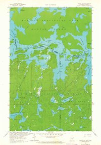
1963 · Friday Bay
USGS Topo · 1:24,000
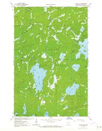
1963 · Lapond Lake
USGS Topo · 1:24,000
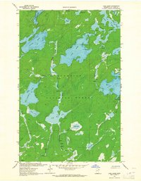
1963 · Lake Agnes
USGS Topo · 1:24,000