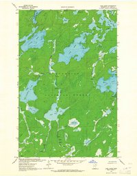
1963 Map of Lake Agnes
USGS Topo · Published 1965About this map
Lake Agnes and the surrounding backcountry of the Superior National Forest define this 1963 landscape in St. Louis County. This northern wilderness is characterized by an intricate network of waterways, including the Dahlgren River, Portage River, and the wide expanse of Lac La Croix at the northern edge. The map captures a moment when travel through this area relied heavily on the water and a system of primitive routes, such as the Jeep Trail and various Restricted Trails. Numerous rapids and falls are marked along the river corridors, indicating the challenging navigation required for those traversing the region by canoe. This survey provides clear documentation of established campsites on islands and points across Nina Moose Lake and Oyster Lake, showing the early infrastructure of recreational wilderness use in the Boundary Waters area.
Find a feature on this map
33 named features on this map. Tap any name to fly to it.
Don’t see what you’re looking for? This feature index may not catch every label — zoom into the map to look around manually.
Map Details
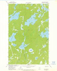
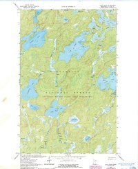
Editions of this 1963 Lake Agnes Map
3 editions found
Other maps of this area

1954 · International Falls
USGS Topo · 1:250,000

1957 · International Falls
USGS Topo · 1:250,000

1957 · Quetico
USGS Topo · 1:250,000

1958 · International Falls
USGS Topo · 1:250,000
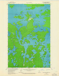
1963 · Coleman Island
USGS Topo · 1:24,000

1963 · Takucmich Lake
USGS Topo · 1:24,000
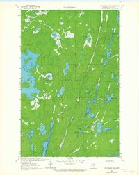
1963 · Angleworm Lake
USGS Topo · 1:24,000
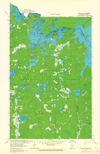
1963 · Iron Lake
USGS Topo · 1:24,000
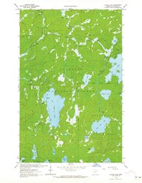
1963 · Lapond Lake
USGS Topo · 1:24,000
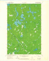
1963 · Shell Lake
USGS Topo · 1:24,000