
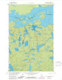
1963 Map of Takucmich Lake
USGS Topo · Published 1964About this map
Lac La Croix and the Namakan River define the international boundary at the northern edge of this 1963 survey, where the Minnesota-Ontario border separates the Superior National Forest from Quetico Provincial Park. The landscape is characterized by a dense network of interconnected waterways and islands, including Fortyone Island and Dome Island. To the north, the Neguaguon Lake Indian Reserve No 25D borders the namesake Neguaguon Lake. The interior is dotted with numerous smaller bodies of water like Takucmich Lake, Beartrack Lake, and Ge-be-on-e-quet Lake, many of which feature established campsites along their shores. This map provides a detailed look at the wilderness geography before modern changes, documenting the intricate topography and the primitive trails that served as the primary routes through this lake-rich region.
Find a feature on this map
51 named features on this map. Tap any name to fly to it.
Don’t see what you’re looking for? This feature index may not catch every label — zoom into the map to look around manually.
Map Details
Editions of this 1963 Takucmich Lake Map
2 editions found
Other maps of this area

1954 · International Falls
USGS Topo · 1:250,000

1957 · International Falls
USGS Topo · 1:250,000

1958 · International Falls
USGS Topo · 1:250,000
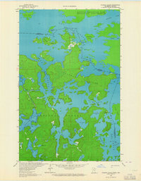
1963 · Coleman Island
USGS Topo · 1:24,000

1963 · Snow Bay
USGS Topo · 1:24,000

1963 · Lake Jeanette
USGS Topo · 1:24,000
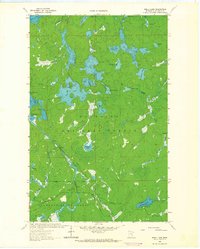
1963 · Shell Lake
USGS Topo · 1:24,000
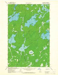
1963 · Lake Agnes
USGS Topo · 1:24,000
1978 · Crane Lake
USGS Topo · 1:100,000
2011 · Lake Agnes
USGS Topo · 1:24,000