
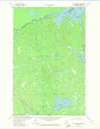
1963 Map of Lake Jeanette
USGS Topo · Published 1965About this map
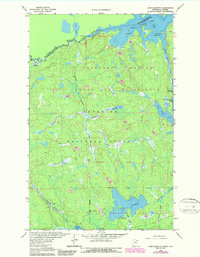
Lake Jeanette anchors this remote wilderness interior where the Superior National Forest meets the Jeanette State Forest. The map documents a rugged landscape defined by a dense network of water bodies and drainages, including Wolfpack Lake, Nugget Lake, and the winding Beaver Stream. In the northwest, the international boundary follows the Loon Lake and the Loon Falls section of the river, while the Little Indian Sioux River carves through the eastern portion of the quadrangle. Human impact is sparse, primarily represented by the Echo Trail and the Lake Jeanette Campground. Researchers can find specialized terrain details like the Devils Cascade and various gravel pits that once supported local road construction. This survey captures the transition between managed state forests and the protected national wilderness at a time when remote access was still largely limited to primitive trails and water routes.
Find a feature on this map
31 named features on this map. Tap any name to fly to it.
Don’t see what you’re looking for? This feature index may not catch every label — zoom into the map to look around manually.
Map Details
Editions of this 1963 Lake Jeanette Map
3 editions found
Other maps of this area

1954 · International Falls
USGS Topo · 1:250,000

1957 · International Falls
USGS Topo · 1:250,000

1958 · International Falls
USGS Topo · 1:250,000

1963 · Echo Lake
USGS Topo · 1:24,000

1963 · Takucmich Lake
USGS Topo · 1:24,000

1963 · Snow Bay
USGS Topo · 1:24,000

1963 · Astrid Lake
USGS Topo · 1:24,000

1963 · Picket Lake
USGS Topo · 1:24,000

1963 · Crane Lake
USGS Topo · 1:24,000
1963 · Shell Lake
USGS Topo · 1:24,000