
1963 Map of Astrid Lake
USGS Topo · Published 1964About this map
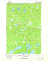
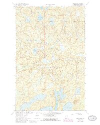
The dense lake country of northern St. Louis County is depicted here at a time when the wilderness was managed primarily through the Jeanette State Forest and the Superior National Forest. This landscape is defined by its complex hydrology, dominated by the large expanse of Trout Lake at the southern edge, including its North Arm and the adjacent Little Trout Lake. The map illustrates the glacial character of the region, where numerous named water bodies like Oriniack Lake, Astrid Lake, and Maude Lake are interconnected by narrow drainages and marshy lowlands.
Find a feature on this map
21 named features on this map. Tap any name to fly to it.
Don’t see what you’re looking for? This feature index may not catch every label — zoom into the map to look around manually.
Map Details
Editions of this 1963 Astrid Lake Map
3 editions found
Other maps of this area

1954 · Hibbing
USGS Topo · 1:250,000

1954 · International Falls
USGS Topo · 1:250,000

1956 · Sioux Pine Island
USGS Topo · 1:24,000

1956 · Vermilion Dam
USGS Topo · 1:24,000

1956 · Chad Lake
USGS Topo · 1:24,000

1957 · Hibbing
USGS Topo · 1:250,000

1957 · International Falls
USGS Topo · 1:250,000

1958 · International Falls
USGS Topo · 1:250,000

1958 · Hibbing
USGS Topo · 1:250,000

1963 · Echo Lake
USGS Topo · 1:24,000