
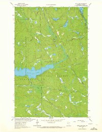
1963 Map of Echo Lake
USGS Topo · Published 1964About this map
Kabetogama State Forest and Superior National Forest converge in this northern landscape, which borders the international line between Minnesota and Ontario. The terrain is defined by a complex network of waterways, centered on the prominent Echo Lake and the winding Echo River. This 1963 field-checked survey illustrates the remote character of St. Louis County before modern development, where transit was limited to the Echo Trail and unimproved dirt roads connecting isolated resource extraction points.
Find a feature on this map
22 named features on this map. Tap any name to fly to it.
Don’t see what you’re looking for? This feature index may not catch every label — zoom into the map to look around manually.
Map Details
Editions of this 1963 Echo Lake Map
3 editions found
Other maps of this area

1954 · International Falls
USGS Topo · 1:250,000

1957 · International Falls
USGS Topo · 1:250,000

1958 · International Falls
USGS Topo · 1:250,000

1963 · Snow Bay
USGS Topo · 1:24,000

1963 · Astrid Lake
USGS Topo · 1:24,000

1963 · Picket Lake
USGS Topo · 1:24,000

1963 · Lake Jeanette
USGS Topo · 1:24,000

1963 · Crane Lake
USGS Topo · 1:24,000

1967 · Kabustasa Lake
USGS Topo · 1:24,000
1967 · Buyck
USGS Topo · 1:24,000