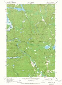
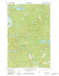
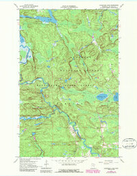
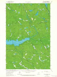
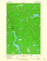
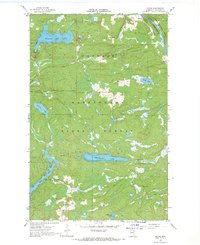
1967 Map of Kabustasa Lake
USGS Topo · Published 1969About this map
Vermilion River and Pelican River dominate this 1967 survey of northern St. Louis County, where the landscape is defined by the transition from water to wood. The small settlement of Buyck serves as the primary outpost in this wilderness, situated near the Forest Home Cem. The map reveals the historical footprints of the regional timber and transport economy, most notably the Old Railroad Grade and several Portage sites along the river bends that bypass Chipmunk Falls.
Find a feature on this map
18 named features on this map. Tap any name to fly to it.
Don’t see what you’re looking for? This feature index may not catch every label — zoom into the map to look around manually.
Map Details
Editions of this 1967 Kabustasa Lake Map
3 editions found
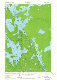
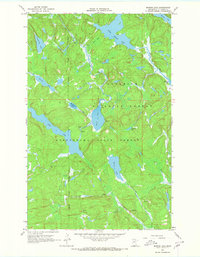
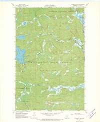
Other maps of this area

1954 · International Falls
USGS Topo · 1:250,000

1957 · International Falls
USGS Topo · 1:250,000

1958 · International Falls
USGS Topo · 1:250,000
1963 · Echo Lake
USGS Topo · 1:24,000
1963 · Picket Lake
USGS Topo · 1:24,000
1963 · Crane Lake
USGS Topo · 1:24,000
1967 · Marion Lake
USGS Topo · 1:24,000
1967 · Elephant Lake
USGS Topo · 1:24,000
1967 · Buyck
USGS Topo · 1:24,000
1967 · Johnson Lake
USGS Topo · 1:24,000