
1967 Map of Marion Lake
USGS Topo · Published 1969About this map
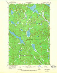
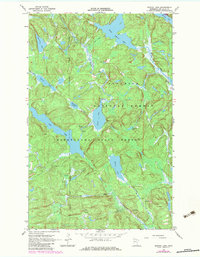
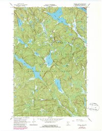
Marion Lake and the surrounding wilderness of St. Louis County are documented here during a period of late-1960s forest management. The landscape is defined by the intersection of the Superior National Forest and Kabetogama State Forest, showing a complex drainage network where the Moose River connects Moose Lake to the south. The area is largely roadless, with only a few Jeep Trails and unnamed woods roads penetrating the dense timber.
Find a feature on this map
23 named features on this map. Tap any name to fly to it.
Don’t see what you’re looking for? This feature index may not catch every label — zoom into the map to look around manually.
Map Details
Editions of this 1967 Marion Lake Map
4 editions found
Other maps of this area

1954 · International Falls
USGS Topo · 1:250,000

1957 · International Falls
USGS Topo · 1:250,000

1958 · International Falls
USGS Topo · 1:250,000

1967 · Namakan Island
USGS Topo · 1:24,000

1967 · Kabustasa Lake
USGS Topo · 1:24,000

1967 · Hale Bay
USGS Topo · 1:24,000

1967 · Elephant Lake
USGS Topo · 1:24,000

1967 · Johnson Lake
USGS Topo · 1:24,000

1968 · Ash River SE
USGS Topo · 1:24,000

1968 · Ash River NE
USGS Topo · 1:24,000