
1967 Map of Johnson Lake
USGS Topo · Published 1970About this map
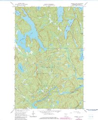
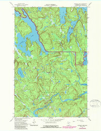
Superior National Forest and Kabetogama State Forest meet in this 1967 survey of a water-dominated landscape in northern Minnesota. The complex hydrology of the region is centered on Johnson Lake, surrounded by a network of smaller basins like Mukooda Lake and Franklin Lake. To the south, the Vermilion River snakes through the terrain, passing through the Vermilion Gorge before reaching the lower elevations of Crane Lake. The map illustrates the specialized transport methods required for this wilderness, marking an overland Portage used to navigate between water bodies. Small-scale industrial activity is evidenced by a Gravel Pit, while various benchmarks like BM 1226 provide precise vertical control across the uneven lake country.
Find a feature on this map
25 named features on this map. Tap any name to fly to it.
Don’t see what you’re looking for? This feature index may not catch every label — zoom into the map to look around manually.
Map Details
Editions of this 1967 Johnson Lake Map
3 editions found
Other maps of this area

1954 · International Falls
USGS Topo · 1:250,000

1957 · International Falls
USGS Topo · 1:250,000

1958 · International Falls
USGS Topo · 1:250,000

1963 · Echo Lake
USGS Topo · 1:24,000

1963 · Redhorse Bay
USGS Topo · 1:24,000

1963 · Crane Lake
USGS Topo · 1:24,000

1967 · Namakan Island
USGS Topo · 1:24,000

1967 · Kabustasa Lake
USGS Topo · 1:24,000

1967 · Marion Lake
USGS Topo · 1:24,000

1967 · Hale Bay
USGS Topo · 1:24,000