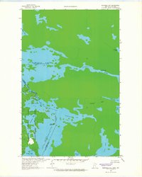
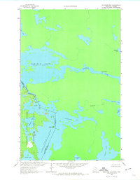
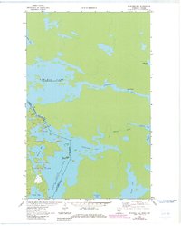
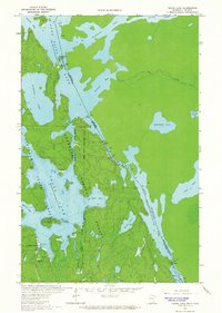
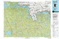
1963 Map of Redhorse Bay
USGS Topo · Published 1965About this map
The borderlands between the United States and Canada come into focus in this waterway-dominated survey, where Redhorse Bay and Namakan Lake form a complex labyrinth of islands and channels. The landscape is defined by the overlap of the Superior National Forest and Kabetogama State Forest, representing a wilderness largely untouched by permanent settlement at this time. Only scattered Campsites are noted along the shorelines of Sand Point and Namakan Narrows.
Find a feature on this map
22 named features on this map. Tap any name to fly to it.
Don’t see what you’re looking for? This feature index may not catch every label — zoom into the map to look around manually.
Map Details
Editions of this 1963 Redhorse Bay Map
3 editions found
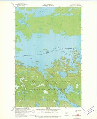
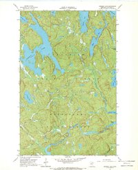
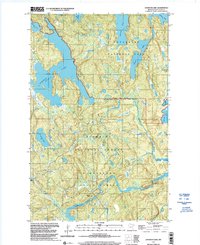
Other maps of this area

1954 · International Falls
USGS Topo · 1:250,000

1957 · International Falls
USGS Topo · 1:250,000

1958 · International Falls
USGS Topo · 1:250,000
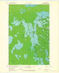
1963 · Snow Bay
USGS Topo · 1:24,000
1963 · Crane Lake
USGS Topo · 1:24,000
1967 · Hale Bay
USGS Topo · 1:24,000
1967 · Johnson Lake
USGS Topo · 1:24,000
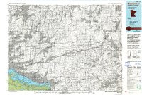
1978 · Brule Narrows
USGS Topo · 1:100,000
1978 · Crane Lake
USGS Topo · 1:100,000
1999 · Johnson Lake
USGS Topo · 1:24,000