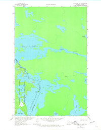
1963 Map of Redhorse Bay
USGS Topo · Published 1974About this map
Namakan Lake and its intricate northern shorelines dominate this borderland survey, which documents the remote aquatic wilderness of the Boundary Waters region in the early 1960s. The map illustrates the complex intersection of the Namakan River and the lake, featuring hazardous water navigation points like Lady Rapids and the tight passage of the Namakan Narrows. This is a landscape shaped by water management and conservation, where the pool elevations of Kabetogama Lake are carefully noted alongside the protected timberlands of Superior National Forest and Kabetogama State Forest. Evidence of recreational use is visible through several numbered Campsites peppered along the rocky points and islands. This survey captures the pristine character of the international boundary between Minnesota and Ontario before modern development, marking significant geographical features such as Sand Point and the sheltered waters of Redhorse Bay.
Find a feature on this map
23 named features on this map. Tap any name to fly to it.
Don’t see what you’re looking for? This feature index may not catch every label — zoom into the map to look around manually.
Map Details
Editions of this 1963 Redhorse Bay Map
3 editions found
Other maps of this area

1954 · International Falls
USGS Topo · 1:250,000

1957 · International Falls
USGS Topo · 1:250,000

1958 · International Falls
USGS Topo · 1:250,000

1963 · Snow Bay
USGS Topo · 1:24,000

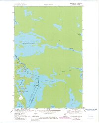
1963 · Redhorse Bay
USGS Topo · 1:24,000

1963 · Crane Lake
USGS Topo · 1:24,000

1967 · Hale Bay
USGS Topo · 1:24,000

1967 · Johnson Lake
USGS Topo · 1:24,000
1978 · Brule Narrows
USGS Topo · 1:100,000
1978 · Crane Lake
USGS Topo · 1:100,000