
1963 Map of Snow Bay
USGS Topo · Published 1964About this map
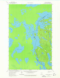
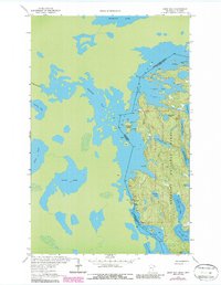
Superior National Forest borders the international line between the United States and Canada in this 1960s study of the Minnesota wilderness. The map is defined by the complex, labyrinthine shoreline of Loon Lake and the expansive waters of Trout Lake, connected by historic overland routes like Dawson Portage and Beatty Portage. These portages represent the essential transit points for travel through the Rainy River District of St. Louis County before modern road development.
Find a feature on this map
24 named features on this map. Tap any name to fly to it.
Don’t see what you’re looking for? This feature index may not catch every label — zoom into the map to look around manually.
Map Details
Editions of this 1963 Snow Bay Map
3 editions found
Other maps of this area

1954 · International Falls
USGS Topo · 1:250,000

1957 · International Falls
USGS Topo · 1:250,000

1958 · International Falls
USGS Topo · 1:250,000

1963 · Echo Lake
USGS Topo · 1:24,000

1963 · Takucmich Lake
USGS Topo · 1:24,000

1963 · Redhorse Bay
USGS Topo · 1:24,000

1963 · Lake Jeanette
USGS Topo · 1:24,000

1963 · Crane Lake
USGS Topo · 1:24,000
1963 · Shell Lake
USGS Topo · 1:24,000
1978 · Crane Lake
USGS Topo · 1:100,000