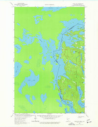
1963 Map of Snow Bay
USGS Topo · Published 1977About this map
Superior National Forest dominates the landscape of this international border region, where the intricate waterways of the Boundary Waters connect Minnesota and Ontario. Based on 1963 fieldwork, the map illustrates a complex labyrinth of islands and peninsulas, notably Sandbar Island within La Croix. This area represents a critical corridor for wilderness travel, preserved in a state of primitive navigation that relies on historic overland paths like Dawson Portage and Beatty Portage to move between major basins.
Find a feature on this map
27 named features on this map. Tap any name to fly to it.
Don’t see what you’re looking for? This feature index may not catch every label — zoom into the map to look around manually.
Map Details
Editions of this 1963 Snow Bay Map
3 editions found
Other maps of this area

1954 · International Falls
USGS Topo · 1:250,000

1957 · International Falls
USGS Topo · 1:250,000

1958 · International Falls
USGS Topo · 1:250,000

1963 · Echo Lake
USGS Topo · 1:24,000

1963 · Takucmich Lake
USGS Topo · 1:24,000

1963 · Snow Bay
USGS Topo · 1:24,000

1963 · Redhorse Bay
USGS Topo · 1:24,000

1963 · Lake Jeanette
USGS Topo · 1:24,000

1963 · Crane Lake
USGS Topo · 1:24,000
1963 · Shell Lake
USGS Topo · 1:24,000