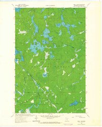
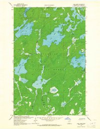
1963 Map of Shell Lake
USGS Topo · Published 1965About this map
Shell Lake and the surrounding wilderness of the Superior National Forest define this 1963 survey of St. Louis County. The landscape is characterized by an intricate network of waterways, including the Little Indian River and Sioux River, which are punctuated by numerous rapids and the dramatic Devils Cascade. Human presence is minimal and primarily focused on forestry and recreation, evidenced by the Sioux River Lookout Tower and scattered camps such as Cold Springs Camp and Campsite on Con Island.
Find a feature on this map
44 named features on this map. Tap any name to fly to it.
Don’t see what you’re looking for? This feature index may not catch every label — zoom into the map to look around manually.
Map Details
Editions of this 1963 Shell Lake Map
2 editions found
Other maps of this area

1954 · International Falls
USGS Topo · 1:250,000

1957 · International Falls
USGS Topo · 1:250,000

1958 · International Falls
USGS Topo · 1:250,000
1963 · Coleman Island
USGS Topo · 1:24,000

1963 · Takucmich Lake
USGS Topo · 1:24,000

1963 · Snow Bay
USGS Topo · 1:24,000

1963 · Astrid Lake
USGS Topo · 1:24,000

1963 · Lake Jeanette
USGS Topo · 1:24,000
1963 · Lapond Lake
USGS Topo · 1:24,000
1963 · Lake Agnes
USGS Topo · 1:24,000