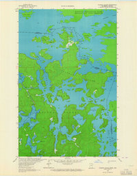
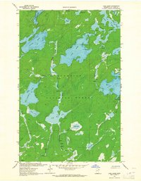
1963 Map of Coleman Island
USGS Topo · Published 1964About this map
Lac La Croix dominates this intricate 1963 boundary survey, where the international border between the United States and Canada weaves through a complex network of islands and interconnected waterways. The sheet captures the remote character of the Superior National Forest and Quetico Provincial Park before the widespread modernization of wilderness management. The presence of the Neguaguon Lake Indian Reserve 25D along the Maligne River highlights the long-standing indigenous geography of this borderland region. Map details show a landscape of rocky points and numerous bays, including the evocatively named Lady Boot Bay and Never Fail Bay. Portages and rapids, such as Pocket Creek Rapids, indicate the historic travel routes through Coleman Island and out toward Ge-Be-On-E-Quet Lake, documenting the area just as it was being established as a premier wilderness destination.
Find a feature on this map
34 named features on this map. Tap any name to fly to it.
Don’t see what you’re looking for? This feature index may not catch every label — zoom into the map to look around manually.
Map Details
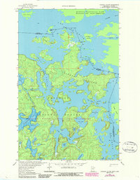
Editions of this 1963 Coleman Island Map
2 editions found
Other maps of this area

1954 · International Falls
USGS Topo · 1:250,000

1957 · International Falls
USGS Topo · 1:250,000

1957 · Quetico
USGS Topo · 1:250,000

1958 · International Falls
USGS Topo · 1:250,000

1963 · Takucmich Lake
USGS Topo · 1:24,000
1963 · Iron Lake
USGS Topo · 1:24,000
1963 · Shell Lake
USGS Topo · 1:24,000
1963 · Lake Agnes
USGS Topo · 1:24,000

1968 · Quetico
USGS Topo · 1:250,000

1977 · Basswood Lake
USGS Topo · 1:100,000