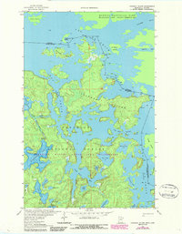
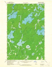
1963 Map of Coleman Island
USGS Topo · Published 1987About this map
Coleman Island sits at the center of this remote lakeland territory along the international border, surrounded by the intricate waterways of Lac La Croix. This landscape is defined by its status as a protected wilderness, encompassing the Boundary Waters Canoe Area Wilderness and Superior National Forest on the United States side, mirrored by Quetico Provincial Park in Ontario. The map documents the northern boundary of St. Louis County, where the Rainy River District meets Minnesota at the Neguaguon Lake Indian Reserve 25D. Notable water features include the Pocket Creek Rapids and the narrow passage at Fish Stake Narrows. The terrain is a complex mosaic of granite-edged lakes and islands, from Twentyfour Island in the north to family-named bays like Lady Boot Bay and Never Fail Bay in the south.
Find a feature on this map
39 named features on this map. Tap any name to fly to it.
Don’t see what you’re looking for? This feature index may not catch every label — zoom into the map to look around manually.
Map Details
Editions of this 1963 Coleman Island Map
2 editions found
Other maps of this area

1954 · International Falls
USGS Topo · 1:250,000

1957 · International Falls
USGS Topo · 1:250,000

1957 · Quetico
USGS Topo · 1:250,000

1958 · International Falls
USGS Topo · 1:250,000
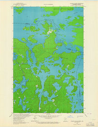
1963 · Coleman Island
USGS Topo · 1:24,000

1963 · Takucmich Lake
USGS Topo · 1:24,000
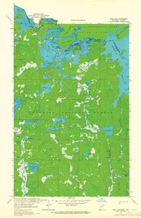
1963 · Iron Lake
USGS Topo · 1:24,000
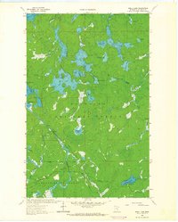
1963 · Shell Lake
USGS Topo · 1:24,000
1963 · Lake Agnes
USGS Topo · 1:24,000

1968 · Quetico
USGS Topo · 1:250,000