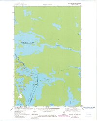
1963 Map of Redhorse Bay
USGS Topo · Published 1983About this map
Voyageurs National Park and the international waters of the United States-Canada border define this northern Minnesota landscape. This survey documents the complex waterway system where the Namakan River flows through Lady Rapids and the Namakan Narrows. The boundary between St. Louis County and the Rainy River District of Ontario runs through the center of Namakan Lake, highlighting the shared geography of the region.
Find a feature on this map
23 named features on this map. Tap any name to fly to it.
Don’t see what you’re looking for? This feature index may not catch every label — zoom into the map to look around manually.
Map Details
Editions of this 1963 Redhorse Bay Map
3 editions found
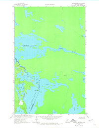
Other maps of this area

1954 · International Falls
USGS Topo · 1:250,000

1957 · International Falls
USGS Topo · 1:250,000

1958 · International Falls
USGS Topo · 1:250,000

1963 · Snow Bay
USGS Topo · 1:24,000

1963 · Redhorse Bay
USGS Topo · 1:24,000

1963 · Crane Lake
USGS Topo · 1:24,000

1967 · Hale Bay
USGS Topo · 1:24,000

1967 · Johnson Lake
USGS Topo · 1:24,000
1978 · Brule Narrows
USGS Topo · 1:100,000
1978 · Crane Lake
USGS Topo · 1:100,000