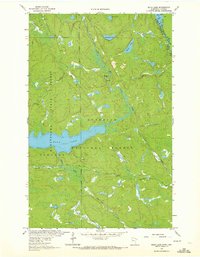
1963 Map of Echo Lake
USGS Topo · Published 1972About this map
Kabetogama State Forest and the Superior National Forest meet in this 1963 field-checked study of the Minnesota wilderness. The landscape is defined by the winding course of the Echo River as it flows toward Echo Lake, a central water body that sits at an elevation of 1,214 feet. This region, documented just before the formal establishment of Voyageurs National Park, shows a remote network of water and wood, including Loon River along the northern border.
Find a feature on this map
17 named features on this map. Tap any name to fly to it.
Don’t see what you’re looking for? This feature index may not catch every label — zoom into the map to look around manually.
Map Details
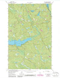
Editions of this 1963 Echo Lake Map
3 editions found
Other maps of this area

1954 · International Falls
USGS Topo · 1:250,000

1957 · International Falls
USGS Topo · 1:250,000

1958 · International Falls
USGS Topo · 1:250,000

1963 · Echo Lake
USGS Topo · 1:24,000

1963 · Snow Bay
USGS Topo · 1:24,000

1963 · Astrid Lake
USGS Topo · 1:24,000

1963 · Picket Lake
USGS Topo · 1:24,000

1963 · Lake Jeanette
USGS Topo · 1:24,000

1963 · Crane Lake
USGS Topo · 1:24,000

1967 · Kabustasa Lake
USGS Topo · 1:24,000