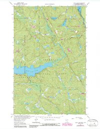
1963 Map of Echo Lake
USGS Topo · Published 1987About this map
Echo Lake and its surrounding wilderness define this section of the Iron Range region along the international border. The landscape is characterized by the complex drainage of the Echo River and the Hunting Shack River, winding through the densely wooded Superior National Forest and Kabetogama State Forest. This survey captures the area as recreational infrastructure was maturing, noting the Echo Lake Campground and a Boat Ramp on the lake's western shore. The northern portion of the map is dominated by the Boundary Waters Canoe Area Wilderness, where several portages and the Echo Trail provide the primary means of navigation through the marshy terrain. Smaller water bodies like Herriman Lake and Knute Lake are connected by a network of streams including Hanson Creek and Camp 29 Creek, illustrating the intricate hydrology of northern St. Louis County.
Find a feature on this map
22 named features on this map. Tap any name to fly to it.
Don’t see what you’re looking for? This feature index may not catch every label — zoom into the map to look around manually.
Map Details
Editions of this 1963 Echo Lake Map
3 editions found
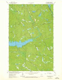
Other maps of this area

1954 · International Falls
USGS Topo · 1:250,000

1957 · International Falls
USGS Topo · 1:250,000

1958 · International Falls
USGS Topo · 1:250,000

1963 · Echo Lake
USGS Topo · 1:24,000

1963 · Snow Bay
USGS Topo · 1:24,000

1963 · Astrid Lake
USGS Topo · 1:24,000

1963 · Picket Lake
USGS Topo · 1:24,000

1963 · Lake Jeanette
USGS Topo · 1:24,000

1963 · Crane Lake
USGS Topo · 1:24,000

1967 · Kabustasa Lake
USGS Topo · 1:24,000