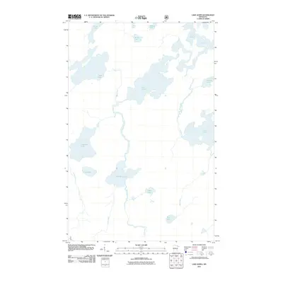
2011 Map of Lake Agnes
USGS Topo · Published 2011About this map
Lake Agnes and the surrounding wilderness of Saint Louis County define this 2011 survey, showing a landscape dominated by complex waterways and glacial lakes. The drainage pattern is led by the Nina Moose River and the Portage River, which connect Nina Moose Lake and Lake Agnes as they flow northward. This area is characterized by traditional portage routes and water-based transit, reflecting the enduring geography of the Boundary Waters region. Notable water bodies such as Oyster Lake, Stuart Lake, and the southern reaches of Lac La Croix at Boulder Bay highlight the interconnected nature of the terrain. Smaller features like Legend Lake and Mule Lake are situated among unnamed ridges and valleys, while Meander Creek and the Moose River provide further definition to the southern portion of the quadrangle.
Find a feature on this map
22 named features on this map. Tap any name to fly to it.
Don’t see what you’re looking for? This feature index may not catch every label — zoom into the map to look around manually.
Map Details
Editions of this 2011 Lake Agnes Map
This is the sole edition of this map. No revisions or reprints were ever made.
Other maps of this area

1954 · International Falls
USGS Topo · 1:250,000

1957 · International Falls
USGS Topo · 1:250,000

1957 · Quetico
USGS Topo · 1:250,000

1958 · International Falls
USGS Topo · 1:250,000
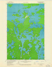
1963 · Coleman Island
USGS Topo · 1:24,000

1963 · Takucmich Lake
USGS Topo · 1:24,000
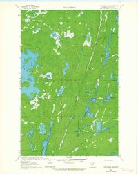
1963 · Angleworm Lake
USGS Topo · 1:24,000
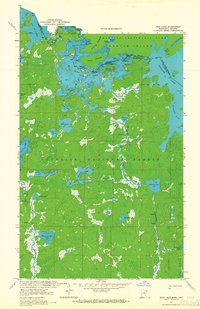
1963 · Iron Lake
USGS Topo · 1:24,000
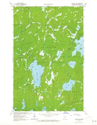
1963 · Lapond Lake
USGS Topo · 1:24,000
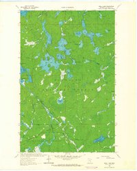
1963 · Shell Lake
USGS Topo · 1:24,000