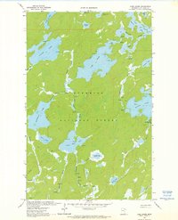
1963 Map of Lake Agnes
USGS Topo · Published 1976About this map
Superior National Forest encompasses this intricate lacustrine landscape in northern St. Louis County, where a complex network of waterways once served as the primary transit corridors. The 1963 field check documents a wilderness character defined by its lack of established roads, relying instead on a Jeep Trail and numerous Portage routes to connect major water bodies. Notable lakes like Oyster Lake, Lake Agnes, and Stuart Lake are linked by a system of rivers including the Boulder River and Moose River. The terrain is marked by hydrological features such as Rapids and Falls along the Dahlgren River, illustrating the natural barriers encountered by travelers. This map captures a specific moment in the mid-20th century before further preservation efforts or modern developments might have altered the visible footprint of back-country campsites and primitive trails.
Find a feature on this map
31 named features on this map. Tap any name to fly to it.
Don’t see what you’re looking for? This feature index may not catch every label — zoom into the map to look around manually.
Map Details
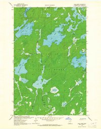
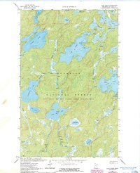
Editions of this 1963 Lake Agnes Map
3 editions found
Other maps of this area

1954 · International Falls
USGS Topo · 1:250,000

1957 · International Falls
USGS Topo · 1:250,000

1957 · Quetico
USGS Topo · 1:250,000

1958 · International Falls
USGS Topo · 1:250,000
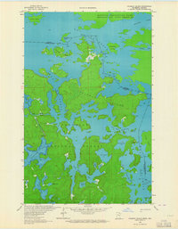
1963 · Coleman Island
USGS Topo · 1:24,000

1963 · Takucmich Lake
USGS Topo · 1:24,000
1963 · Angleworm Lake
USGS Topo · 1:24,000
1963 · Iron Lake
USGS Topo · 1:24,000
1963 · Lapond Lake
USGS Topo · 1:24,000
1963 · Shell Lake
USGS Topo · 1:24,000