Old Maps of Angleworm Lake, Minnesota
Explore 27 old maps of Angleworm Lake, spanning from 1957 to today. These high-resolution historic maps reveal how streets, neighborhoods, landmarks, and natural features evolved over time — perfect for genealogy, metal detecting, research, and local history exploration.
What you can do with these maps:
- See how Angleworm Lake changed over time: Compare historical maps to modern-day views to trace roads, homesites, rail lines & more.
- View detailed metadata: Each map includes creators, publishers, year, scale, and archive source.
- Overlay maps with satellite & LiDAR: Visualize the past alongside modern tools to explore terrain & human change.
- Trusted historical sources: Maps sourced from the USGS, Library of Congress, and other archives.
- Access maps your way: View online, download high-res files, or order prints for personal or research use.
Start exploring old maps of Angleworm Lake to uncover forgotten places, hidden landmarks, and the deep history beneath your feet.
Angleworm Lake, MN maps
(27)- 1957 Map of Quetico, 1967 Print
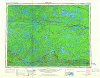 1957 Quetico1967 Print · USGSThe Ontario-Minnesota borderlands are captured here in the mid-fifties, showing the vast wilderness of the Boundary Waters before modern development. Genealogists and researchers can trace rail settlements along the Canadian National Railways including Atikokan, Sapawe, and Kashabowie.2 unique versions available
 - 1963 Map of Fourtown Lake, 1964 Print
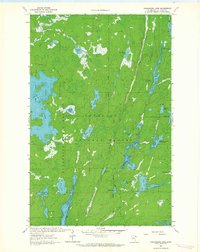
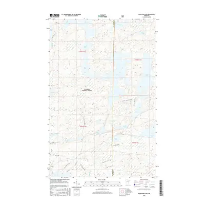
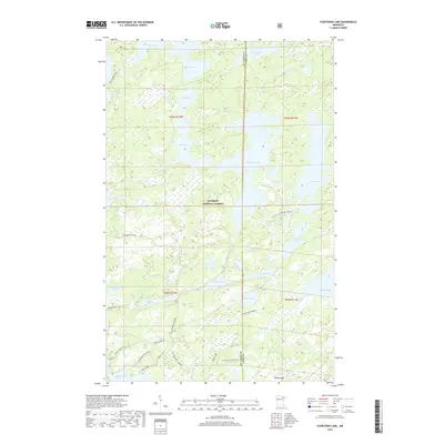
 1963 Fourtown Lake1964 Print · USGSThe Boundary Waters wilderness of the early sixties is preserved here, showing a landscape defined by water and primitive trails. You can trace historic canoe routes through Fourtown Lake, Tin Can Mike Lake, and along the Range River to Jackfish Bay.4 unique versions available
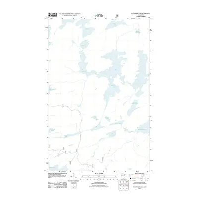
 - 1963 Map of Angleworm Lake, 1964 Print
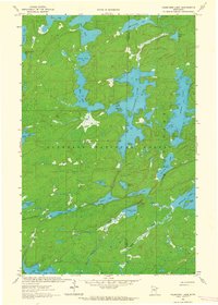
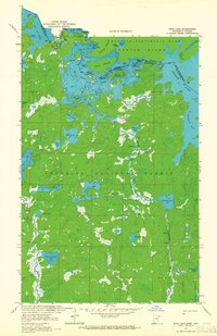
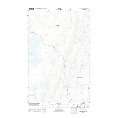
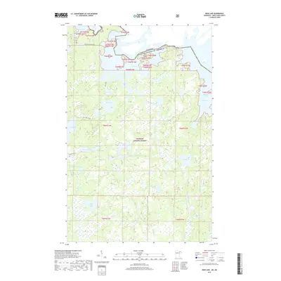
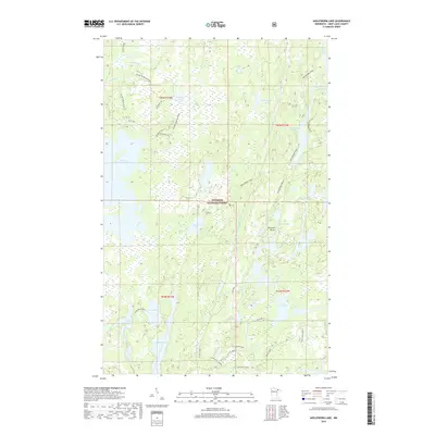
 1963 Angleworm Lake1964 Print · USGSThe northern Minnesota wilderness is captured here in the early 1960s, showing a landscape shaped by glacial lakes and early forest management. Trace the historic Echo Trail and find landmarks like the Angleworm Lookout Tower and Pictured Rock.2 unique versions available
 - 1963 Map of Friday Bay, 1965 Print
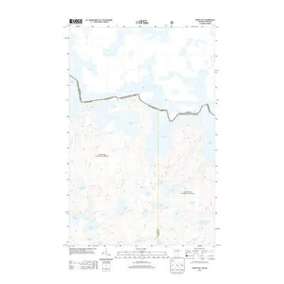
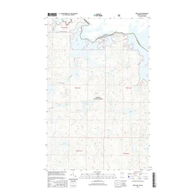
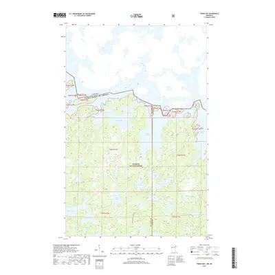
 1963 Friday Bay1965 Print · USGSThe international borderlands of Minnesota and Ontario were a pristine wilderness in the 1960s. Researchers can trace the ancient canoe routes between Friday Bay and Saturday Bay or locate secluded waters like Ritual Lake and Bear Trap Lake.2 unique versions available
 - 1963 Map of Iron Lake, 1965 Print
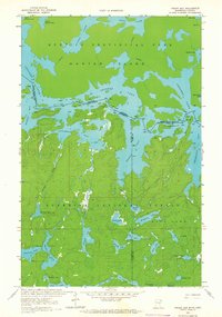
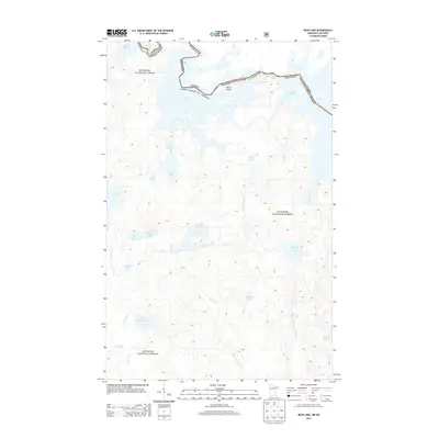
 1963 Iron Lake1965 Print · USGSThe international border between Minnesota and Ontario was a roadless expanse of lakes and portages in the 1960s. Outdoor enthusiasts and researchers can trace ancient canoe routes through Curtain Falls, the islands of Iron Lake, and the remote Nibin Lake.2 unique versions available
 - 1968 Map of Quetico
 1968 Quetico1968 Print · USGSThe Ontario-Minnesota borderlands are captured here in the late 1960s, showing the vast wilderness of the Boundary Waters. Researchers can trace the Canadian National rail line through Atikokan or explore the interior lakes of Quetico Provincial Park and Hunter Island.
 - 1977 Map of Basswood Lake, 1994 Print
 1977 Basswood Lake1994 Print · USGSThe Boundary Waters and Ontario’s wilderness meet in the late seventies across a vast network of interconnected glacial lakes. Researchers can trace the international line through Basswood Lake, Crooked Lake, and around the massive Hunter Island.
 - 2011 Map of Angleworm Lake, 2011 Print
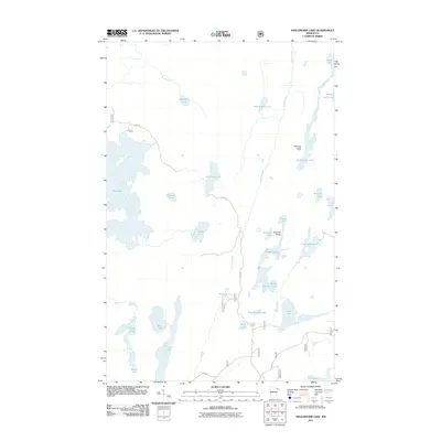 2011 Angleworm Lake2011 Print · USGSCovers Angleworm Lake, including Slim Lake, Saint Louis County, and other nearby areas
 - 2011 Map of Iron Lake, 2011 Print
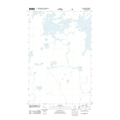 2011 Iron Lake2011 Print · USGSCovers Angleworm Lake, including Unorganized Rainy River, Slim Lake, and other nearby areas
 - 2011 Map of Friday Bay, 2011 Print
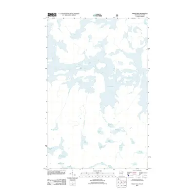 2011 Friday Bay2011 Print · USGSCovers Angleworm Lake, including Unorganized Rainy River, Sunday Lake, and other nearby areas
 - 2011 Map of Fourtown Lake, 2011 Print
 2011 Fourtown Lake2011 Print · USGSCovers Angleworm Lake, including Slim Lake, Fall Lake Township, and other nearby areas
 - 2013 Map of Angleworm Lake, 2013 Print
 2013 Angleworm Lake2013 Print · USGSCovers Angleworm Lake, including Slim Lake, Saint Louis County, and other nearby areas
 - 2013 Map of Fourtown Lake, 2013 Print
 2013 Fourtown Lake2013 Print · USGSCovers Angleworm Lake, including Slim Lake, Fall Lake Township, and other nearby areas
 - 2013 Map of Iron Lake, 2013 Print
 2013 Iron Lake2013 Print · USGSCovers Angleworm Lake, including Unorganized Rainy River, Slim Lake, and other nearby areas
 - 2013 Map of Friday Bay, 2013 Print
 2013 Friday Bay2013 Print · USGSCovers Angleworm Lake, including Unorganized Rainy River, Sunday Lake, and other nearby areas
 - 2016 Map of Friday Bay, 2016 Print
 2016 Friday Bay2016 Print · USGSCovers Angleworm Lake, including Unorganized Rainy River, Sunday Lake, and other nearby areas
 - 2016 Map of Angleworm Lake, 2016 Print
 2016 Angleworm Lake2016 Print · USGSCovers Angleworm Lake, including Slim Lake, Saint Louis County, and other nearby areas
 - 2016 Map of Fourtown Lake, 2016 Print
 2016 Fourtown Lake2016 Print · USGSCovers Angleworm Lake, including Slim Lake, Fall Lake Township, and other nearby areas
 - 2016 Map of Iron Lake, 2016 Print
 2016 Iron Lake2016 Print · USGSCovers Angleworm Lake, including Unorganized Rainy River, Slim Lake, and other nearby areas
 - 2019 Map of Fourtown Lake, 2019 Print
 2019 Fourtown Lake2019 Print · USGSCovers Angleworm Lake, including Slim Lake, Fall Lake Township, and other nearby areas
 - 2019 Map of Friday Bay, 2019 Print
 2019 Friday Bay2019 Print · USGSCovers Angleworm Lake, including Unorganized Rainy River, Sunday Lake, and other nearby areas
 - 2019 Map of Iron Lake, 2019 Print
 2019 Iron Lake2019 Print · USGSCovers Angleworm Lake, including Unorganized Rainy River, Slim Lake, and other nearby areas
 - 2019 Map of Angleworm Lake, 2019 Print
 2019 Angleworm Lake2019 Print · USGSCovers Angleworm Lake, including Slim Lake, Saint Louis County, and other nearby areas
 - 2022 Map of Angleworm Lake, 2022 Print
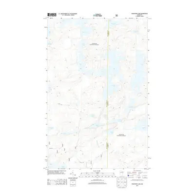
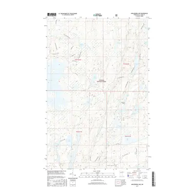
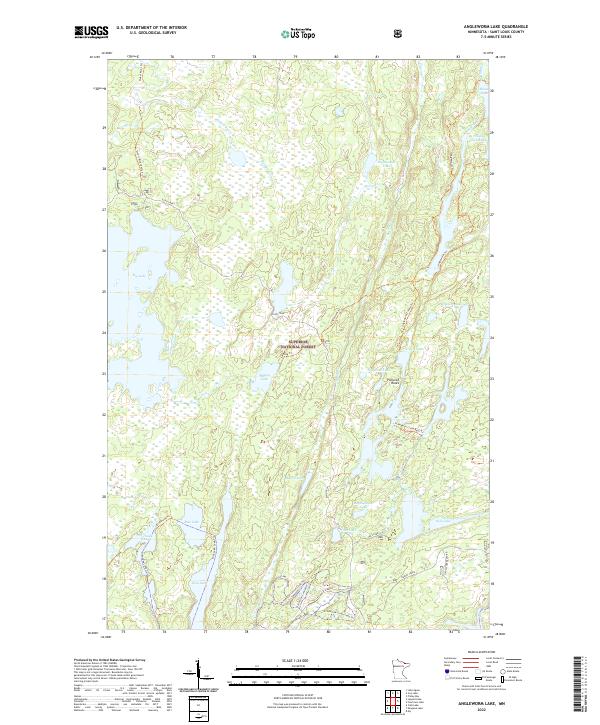 2022 Angleworm Lake2022 Print · USGSSaint Louis County wilderness comes alive in this contemporary view of the northern Minnesota lake country. You can trace the network of portage routes and backcountry paths like the Echo Trail and Angleworm Trl that link Big Lake with Pictured Rocks.
 - 2022 Map of Friday Bay, 2022 Print
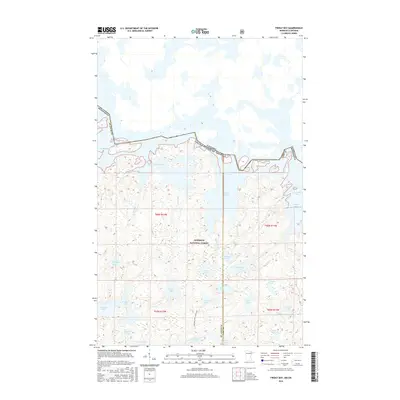
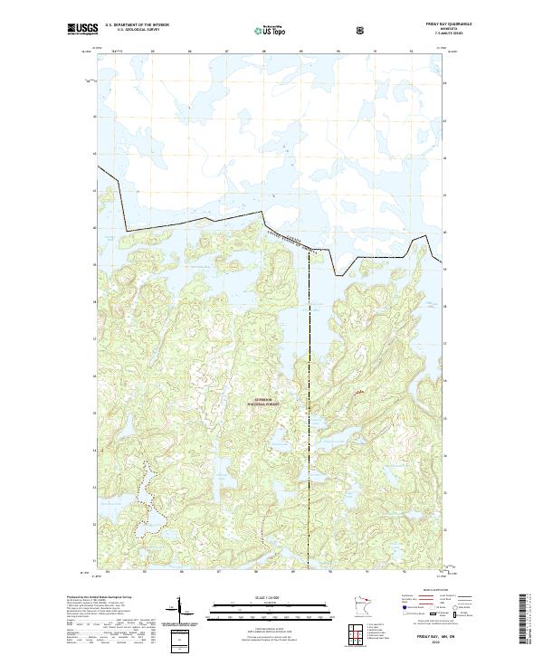 2022 Friday Bay2022 Print · USGSThe Minnesota-Canada borderlands appear in striking detail in this survey of the Superior National Forest wilderness. Trace the remote Wagosh-Lake-Gun Lake-Trl and the intricate sequence of Friday Bay, Saturday Bay, and Papoose Lake.
Showing maps 1-25 of 27
Top cities near Angleworm Lake
Frequently asked questions
- What are the different types of historical maps available for Angleworm Lake?
- What is the oldest map of Angleworm Lake?
- Where can I purchase historical maps of Angleworm Lake for my home or office?
- Where can I download high-res historical maps of Angleworm Lake?
- Are there historical topographic maps available for Angleworm Lake?
- Is there historical aerial imagery available for Angleworm Lake?
- Where are historical maps of Angleworm Lake sourced from?