2000s (21st Century) Maps of Angleworm Lake, Minnesota
Explore 20 historic maps of Angleworm Lake from the 2000s (21st Century). These maps offer a rare glimpse into what life looked like during the 2000s — showing old roads, neighborhoods, homes, and landmarks that have changed or disappeared over time.
Whether you're researching your family's past, planning a metal detecting trip, or studying how Angleworm Lake's landscape evolved across the 2000s, these high-resolution maps are a powerful tool for exploring the history of this region.
- Focus on a specific era: All maps on this page are from the 2000s, giving you a focused view of this time period.
- See what’s changed: Compare century-old streets, trails, and buildings to today's modern landscape using overlays and satellite layers.
- Research with precision: Use these maps for genealogy, historical research, land use analysis, or educational projects.
- View, download, or print: Maps are fully viewable online in high resolution, and can be downloaded or printed for your own records.
Start exploring Angleworm Lake's history through authentic maps from the 2000s. This is your window into the past.
Angleworm Lake, MN maps
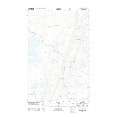
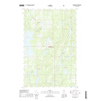
(20)- 2011 Map of Angleworm Lake, 2011 Print
 2011 Angleworm Lake2011 Print · USGSCovers Angleworm Lake, including Slim Lake, Saint Louis County, and other nearby areas
 - 2011 Map of Iron Lake, 2011 Print
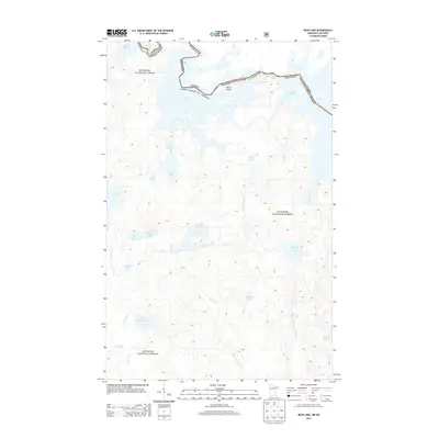
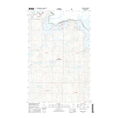
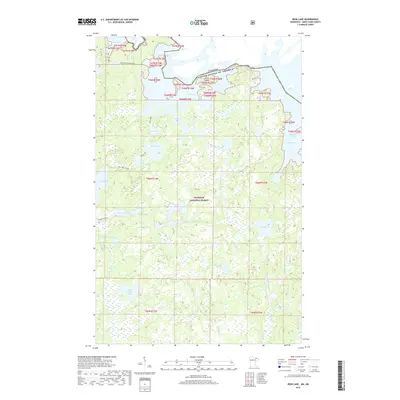
 2011 Iron Lake2011 Print · USGSCovers Angleworm Lake, including Unorganized Rainy River, Slim Lake, and other nearby areas
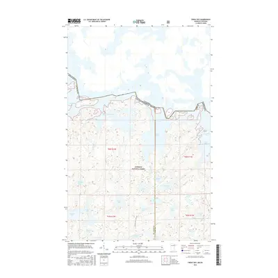
 - 2011 Map of Friday Bay, 2011 Print
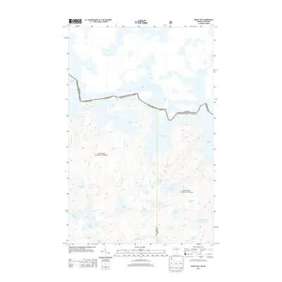
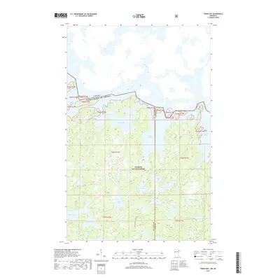
 2011 Friday Bay2011 Print · USGSCovers Angleworm Lake, including Unorganized Rainy River, Sunday Lake, and other nearby areas
 - 2011 Map of Fourtown Lake, 2011 Print
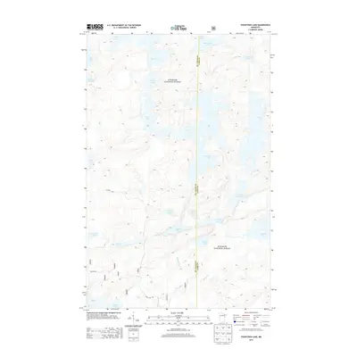
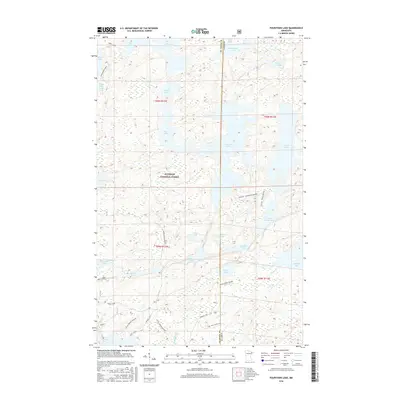
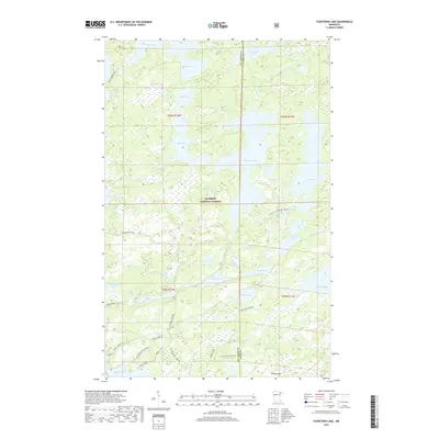
 2011 Fourtown Lake2011 Print · USGSCovers Angleworm Lake, including Slim Lake, Fall Lake Township, and other nearby areas
 - 2013 Map of Angleworm Lake, 2013 Print
 2013 Angleworm Lake2013 Print · USGSCovers Angleworm Lake, including Slim Lake, Saint Louis County, and other nearby areas
 - 2013 Map of Fourtown Lake, 2013 Print
 2013 Fourtown Lake2013 Print · USGSCovers Angleworm Lake, including Slim Lake, Fall Lake Township, and other nearby areas
 - 2013 Map of Iron Lake, 2013 Print
 2013 Iron Lake2013 Print · USGSCovers Angleworm Lake, including Unorganized Rainy River, Slim Lake, and other nearby areas
 - 2013 Map of Friday Bay, 2013 Print
 2013 Friday Bay2013 Print · USGSCovers Angleworm Lake, including Unorganized Rainy River, Sunday Lake, and other nearby areas
 - 2016 Map of Friday Bay, 2016 Print
 2016 Friday Bay2016 Print · USGSCovers Angleworm Lake, including Unorganized Rainy River, Sunday Lake, and other nearby areas
 - 2016 Map of Angleworm Lake, 2016 Print
 2016 Angleworm Lake2016 Print · USGSCovers Angleworm Lake, including Slim Lake, Saint Louis County, and other nearby areas
 - 2016 Map of Fourtown Lake, 2016 Print
 2016 Fourtown Lake2016 Print · USGSCovers Angleworm Lake, including Slim Lake, Fall Lake Township, and other nearby areas
 - 2016 Map of Iron Lake, 2016 Print
 2016 Iron Lake2016 Print · USGSCovers Angleworm Lake, including Unorganized Rainy River, Slim Lake, and other nearby areas
 - 2019 Map of Fourtown Lake, 2019 Print
 2019 Fourtown Lake2019 Print · USGSCovers Angleworm Lake, including Slim Lake, Fall Lake Township, and other nearby areas
 - 2019 Map of Friday Bay, 2019 Print
 2019 Friday Bay2019 Print · USGSCovers Angleworm Lake, including Unorganized Rainy River, Sunday Lake, and other nearby areas
 - 2019 Map of Iron Lake, 2019 Print
 2019 Iron Lake2019 Print · USGSCovers Angleworm Lake, including Unorganized Rainy River, Slim Lake, and other nearby areas
 - 2019 Map of Angleworm Lake, 2019 Print
 2019 Angleworm Lake2019 Print · USGSCovers Angleworm Lake, including Slim Lake, Saint Louis County, and other nearby areas
 - 2022 Map of Angleworm Lake, 2022 Print
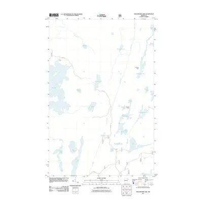
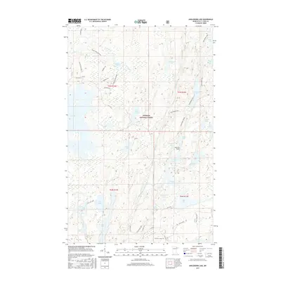
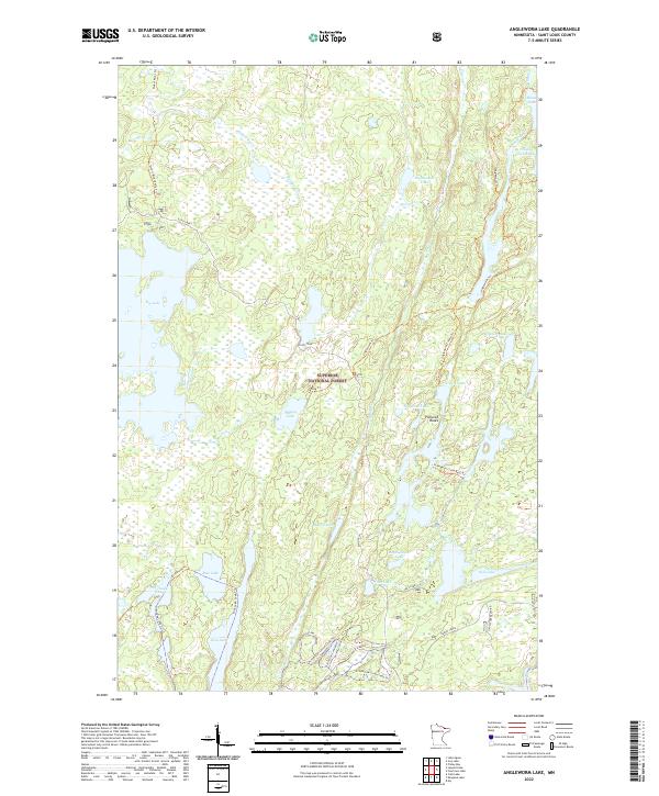 2022 Angleworm Lake2022 Print · USGSSaint Louis County wilderness comes alive in this contemporary view of the northern Minnesota lake country. You can trace the network of portage routes and backcountry paths like the Echo Trail and Angleworm Trl that link Big Lake with Pictured Rocks.
 - 2022 Map of Friday Bay, 2022 Print
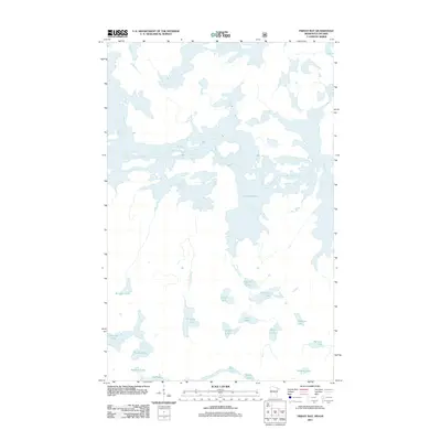
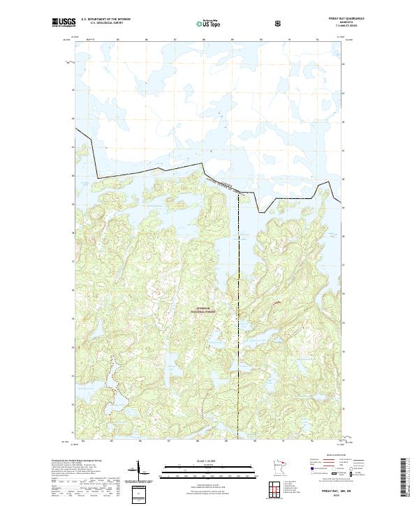 2022 Friday Bay2022 Print · USGSThe Minnesota-Canada borderlands appear in striking detail in this survey of the Superior National Forest wilderness. Trace the remote Wagosh-Lake-Gun Lake-Trl and the intricate sequence of Friday Bay, Saturday Bay, and Papoose Lake.
 - 2022 Map of Iron Lake, 2022 Print
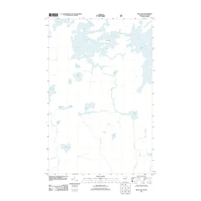
 2022 Iron Lake2022 Print · USGSThe Minnesota wilderness at the Canadian border remains a pristine labyrinth of waterways and portages as seen in this 2022 survey. Trace historic backcountry routes like the Iron-Dark Trl or find secluded spots like Peterson Bay and Three Island.
 - 2022 Map of Fourtown Lake, 2022 Print
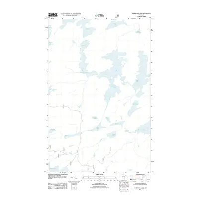
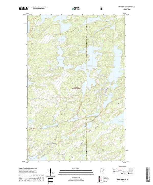 2022 Fourtown Lake2022 Print · USGSSuperior National Forest in the early 2020s remains a wilderness of interconnected lakes and specialized winter trails. Researchers can trace historic access points and forest routes like the Mudro Access Road, Fourtown Lake, and the Angleworm Trail.
End of results
Showing maps 1-20 of 20
Top cities near Angleworm Lake
Frequently asked questions
- What are the different types of historical maps available for Angleworm Lake?
- What is the oldest map of Angleworm Lake?
- Where can I purchase historical maps of Angleworm Lake for my home or office?
- Where can I download high-res historical maps of Angleworm Lake?
- Are there historical topographic maps available for Angleworm Lake?
- Is there historical aerial imagery available for Angleworm Lake?
- Where are historical maps of Angleworm Lake sourced from?