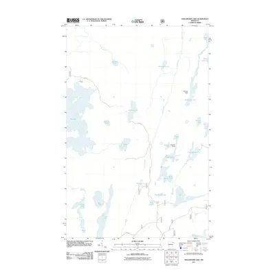
2011 Map of Angleworm Lake
USGS Topo · Published 2011About this map
Angleworm Lookout Tower stands as a sentinel over a landscape defined by an intricate network of glacial lakes and waterways in this 2011 survey of Saint Louis County. The terrain is dominated by the Stuart River and significant bodies of water such as Big Lake, Slim Lake, and the long, narrow corridor of Angleworm Lake. Primitive transportation routes like the Echo Trl wind through the area, connecting isolated points in a region largely defined by its natural topography rather than dense human settlement. Notable landmarks including the Pictured Rocks near Hardtack Lake suggest the area's geological and cultural significance. The map also captures the interconnectedness of smaller basins like North Hegman Lake and South Hegman Lake, which illustrate the complex drainage patterns of the northern Minnesota wilderness.
Find a feature on this map
33 named features on this map. Tap any name to fly to it.
Don’t see what you’re looking for? This feature index may not catch every label — zoom into the map to look around manually.
Map Details
Editions of this 2011 Angleworm Lake Map
This is the sole edition of this map. No revisions or reprints were ever made.
Other maps of this area

1933 · Ely
USGS Topo · 1:62,500

1939 · Ely
USGS Topo · 1:62,500

1954 · Two Harbors
USGS Topo · 1:250,000

1954 · Hibbing
USGS Topo · 1:250,000

1954 · International Falls
USGS Topo · 1:250,000

1956 · Crab Lake
USGS Topo · 1:24,000

1957 · Two Harbors
USGS Topo · 1:250,000

1957 · Hibbing
USGS Topo · 1:250,000

1957 · International Falls
USGS Topo · 1:250,000

1957 · Quetico
USGS Topo · 1:250,000