2010s Maps of Angleworm Lake, Minnesota
Explore 16 historic maps of Angleworm Lake from the 2010s. These maps offer a rare glimpse into what life looked like during the 2010s — showing old roads, neighborhoods, homes, and landmarks that have changed or disappeared over time.
Whether you're researching your family's past, planning a metal detecting trip, or studying how Angleworm Lake's landscape evolved across the 2010s, these high-resolution maps are a powerful tool for exploring the history of this region.
- Focus on a specific era: All maps on this page are from the 2010s, giving you a focused view of this time period.
- See what’s changed: Compare century-old streets, trails, and buildings to today's modern landscape using overlays and satellite layers.
- Research with precision: Use these maps for genealogy, historical research, land use analysis, or educational projects.
- View, download, or print: Maps are fully viewable online in high resolution, and can be downloaded or printed for your own records.
Start exploring Angleworm Lake's history through authentic maps from the 2010s. This is your window into the past.
Angleworm Lake, MN maps
(16)- 2011 Map of Angleworm Lake, 2011 Print
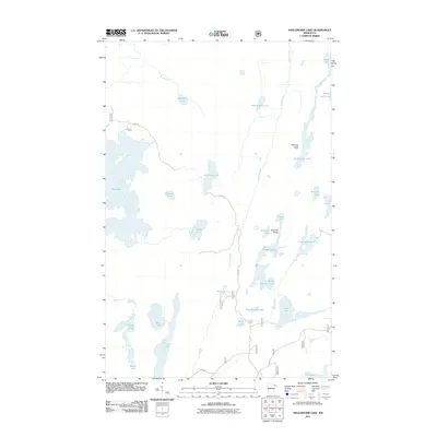 2011 Angleworm Lake2011 Print · USGSNorthern Minnesota's lake country is captured here in the early twenty-first century, showcasing a vast network of waterways and portages. Outdoor historians and researchers can locate the Angleworm Lookout Tower and trace routes along Echo Trl or near Pictured Rocks.
 - 2011 Map of Iron Lake, 2011 Print
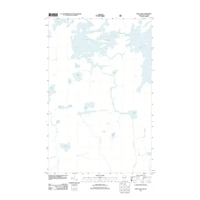 2011 Iron Lake2011 Print · USGSThe borderlands of Minnesota and Ontario are captured here in the early 2000s, showing a landscape defined entirely by its wilderness waterways. You can trace the complex flow of the Beartrap River and identify specific landmarks like Curtain Falls and Three Island.
 - 2011 Map of Friday Bay, 2011 Print
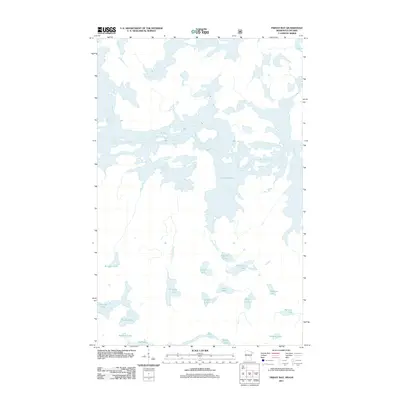 2011 Friday Bay2011 Print · USGSThe Minnesota-Ontario borderlands remained a primitive wilderness of water and forest in the early twenty-first century. Researchers can trace remote water routes and glacial landmarks through Crooked Lake, Sinneeg Lake, and Bunggee Lake.
 - 2011 Map of Fourtown Lake, 2011 Print
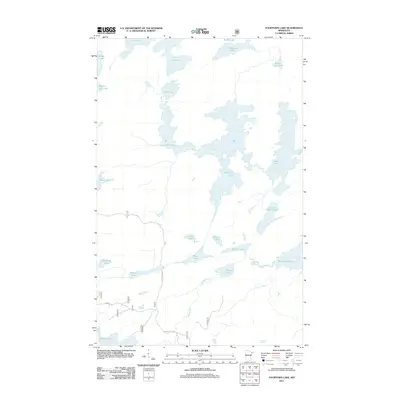 2011 Fourtown Lake2011 Print · USGSSaint Louis County's labyrinth of northern waters is documented here in the early twenty-first century. Researchers and outdoorsmen can trace the portage-linked routes between Fourtown Lake, Tin Can Mike Lake, and the remote reaches of Gun Lake.
 - 2013 Map of Angleworm Lake, 2013 Print
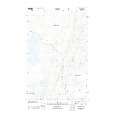 2013 Angleworm Lake2013 Print · USGSSuperior National Forest in the early twenty-first century remains a landscape of connected waterways and dense woodland. Researchers and paddlers can trace remote routes past the Angleworm Lookout Tower and identify specific shorelines at Pictured Rocks or Slim Lake.
 - 2013 Map of Fourtown Lake, 2013 Print
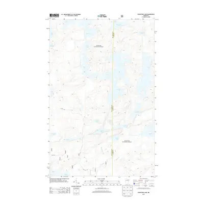 2013 Fourtown Lake2013 Print · USGSThe northern Minnesota wilderness is documented here just after the turn of the millennium, spanning the border of St. Louis and Lake counties. Outdoor enthusiasts and local historians can trace the intricate shorelines and portage routes between Tin Can Mike Lake, Horse Lake, and the remote No-see-um Lake.
 - 2013 Map of Iron Lake, 2013 Print
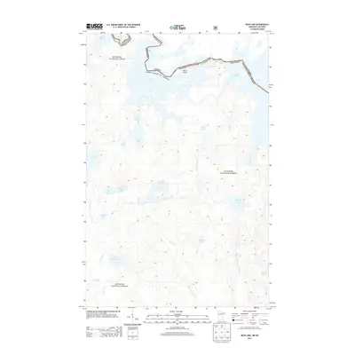 2013 Iron Lake2013 Print · USGSThe international border runs through the deep wilderness of the Boundary Waters in the early twenty-first century. Researchers can trace intricate water routes from Lac la Croix through Iron Lake to Crooked Lake, alongside the banks of Sterling Cr and the Stuart River.
 - 2013 Map of Friday Bay, 2013 Print
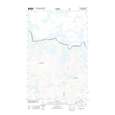 2013 Friday Bay2013 Print · USGSThe Minnesota-Ontario border follows the winding course of Crooked Lake through this roadless wilderness in the early twenty-first century. Genealogists and nature historians can trace the intricate lake systems of the Superior National Forest, including Friday Bay and Gun Lake.
 - 2016 Map of Friday Bay, 2016 Print
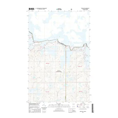 2016 Friday Bay2016 Print · USGSThe international boundary through the northern wilderness is captured here in the mid-2010s, where the waters of the Superior National Forest meet the Canadian border. Track the sequential names of the shoreline bays from Sunday Bay to Thursday Bay, and find interior features like Chippewa Lake and Gun Lake.
 - 2016 Map of Angleworm Lake, 2016 Print
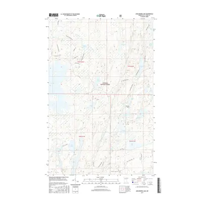 2016 Angleworm Lake2016 Print · USGSThe Superior National Forest was a complex web of interconnected lakes and managed trails when this survey was conducted. You can trace the backcountry routes of the Echo Trail and Angleworm Trail, or locate landmarks like Pictured Rocks and Nels Lake.
 - 2016 Map of Fourtown Lake, 2016 Print
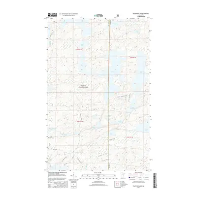 2016 Fourtown Lake2016 Print · USGSThe northern Minnesota wilderness in the 2010s is defined here by the intricate canoe and winter routes of the Superior National Forest. Trace specific backcountry access points and seasonal paths like the Angleworm Trail, Mudro Lake, and Tin Can Mike Lake.
 - 2016 Map of Iron Lake, 2016 Print
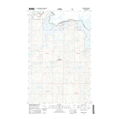 2016 Iron Lake2016 Print · USGSThe international borderlands of northern Minnesota come alive in this recent survey of the lake-studded wilderness. Canoeists and historians can trace traditional routes like LaclaCroix Pond Iron or locate remote features like Curtain Falls and Sunday Bay.
 - 2019 Map of Fourtown Lake, 2019 Print
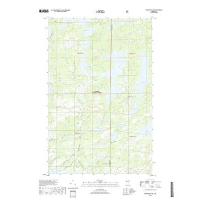 2019 Fourtown Lake2019 Print · USGSThe northern wilderness of St. Louis and Lake Counties is mapped here in the late 2010s, showcasing a landscape defined by glacial lakes and forest trails. You can trace seasonal transit routes like the Range River Winter trail or locate remote water bodies such as Tin Can Mike Lake and Fourtown Lake.
 - 2019 Map of Friday Bay, 2019 Print
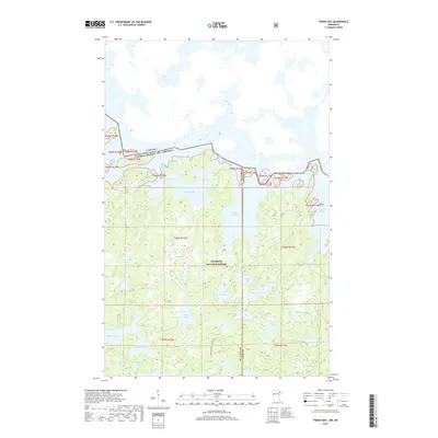 2019 Friday Bay2019 Print · USGSThe Boundary Waters wilderness comes into focus in this late 2010s survey of the northern borderlands. Trace the sequence of lake bays from Sunday to Thursday along Crooked Lake or locate interior water bodies like Ritual and Chippewa.
 - 2019 Map of Iron Lake, 2019 Print
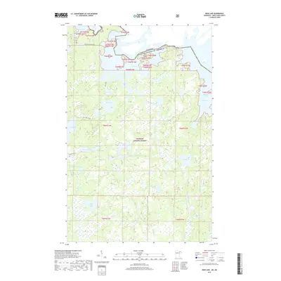 2019 Iron Lake2019 Print · USGSThe international borderlands of Saint Louis County are captured here in the late 2010s. Researchers can trace the intricate waterways of Iron Lake and Lac la Croix, or follow the path of Curtain Falls and the Beartrap River through the Superior National Forest.
 - 2019 Map of Angleworm Lake, 2019 Print
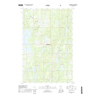 2019 Angleworm Lake2019 Print · USGSSuperior National Forest in the late 2010s remains a wilderness of interconnected waterways and primitive portage routes. Outdoorsmen and historians can trace the paths of the Echo Trail, the Angleworm Trail, and landmarks like Pictured Rocks.
End of results
Showing maps 1-16 of 16
Top cities near Angleworm Lake
Frequently asked questions
- What are the different types of historical maps available for Angleworm Lake?
- What is the oldest map of Angleworm Lake?
- Where can I purchase historical maps of Angleworm Lake for my home or office?
- Where can I download high-res historical maps of Angleworm Lake?
- Are there historical topographic maps available for Angleworm Lake?
- Is there historical aerial imagery available for Angleworm Lake?
- Where are historical maps of Angleworm Lake sourced from?