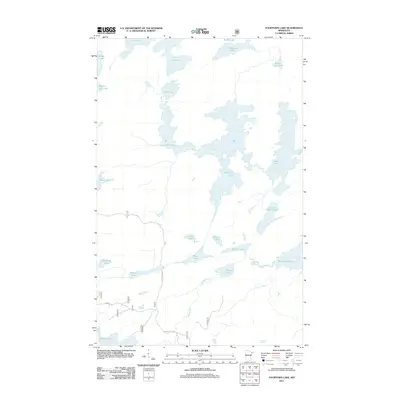
2011 Map of Fourtown Lake
USGS Topo · Published 2011About this map
Fourtown Lake serves as the central hub of this water-dominated landscape in Saint Louis County, where a intricate network of interconnected basins and narrow channels defines the region's geography. The map illustrates a primitive wilderness character, with the primary human infrastructure limited to Mackie Rd and Cedar Lake Rd encroaching from the southwest. Notable water bodies such as Boot Lake, Horse Lake, and the humorously named No-see-um Lake suggest a terrain better suited for portage than traditional overland travel. The presence of Range River and Spawn Creek indicates the drainage patterns that feed into larger systems like Basswood Lake. This 2011 survey by the U.S. Geological Survey documents the pristine hydrography of the area, capturing everything from the remote Whisky Jack Lake to the small, tucked-away Holy Lake.
Find a feature on this map
26 named features on this map. Tap any name to fly to it.
Don’t see what you’re looking for? This feature index may not catch every label — zoom into the map to look around manually.
Map Details
Editions of this 2011 Fourtown Lake Map
This is the sole edition of this map. No revisions or reprints were ever made.
Other maps of this area

1933 · Ely
USGS Topo · 1:62,500

1939 · Ely
USGS Topo · 1:62,500

1954 · Two Harbors
USGS Topo · 1:250,000

1957 · Two Harbors
USGS Topo · 1:250,000

1957 · Gabbro Lake
USGS Topo · 1:62,500

1957 · Basswood Lake
USGS Topo · 1:62,500

1957 · Quetico
USGS Topo · 1:250,000

1958 · Two Harbors
USGS Topo · 1:250,000

1963 · Fourtown Lake
USGS Topo · 1:24,000
1963 · Angleworm Lake
USGS Topo · 1:24,000