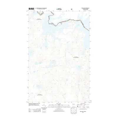
2013 Map of Iron Lake
USGS Topo · Published 2013About this map
The international boundary between Canada and the United States threads through the waters of Lac la Croix, Iron Lake, and Crooked Lake, marking a remote wilderness landscape defined by the hydrography of the Superior National Forest. This 2013 survey illustrates the complex drainage systems of the Boundary Waters, where the Stuart River and Beartrap River navigate a dense network of smaller basins such as Nibin Lake, Bibon Lake, and Sterling Lake.
Find a feature on this map
27 named features on this map. Tap any name to fly to it.
Don’t see what you’re looking for? This feature index may not catch every label — zoom into the map to look around manually.
Map Details
Editions of this 2013 Iron Lake Map
This is the sole edition of this map. No revisions or reprints were ever made.
Other maps of this area

1954 · International Falls
USGS Topo · 1:250,000

1957 · International Falls
USGS Topo · 1:250,000

1957 · Quetico
USGS Topo · 1:250,000

1958 · International Falls
USGS Topo · 1:250,000
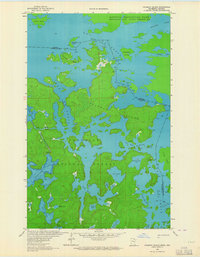
1963 · Coleman Island
USGS Topo · 1:24,000

1963 · Fourtown Lake
USGS Topo · 1:24,000
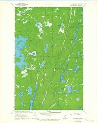
1963 · Angleworm Lake
USGS Topo · 1:24,000
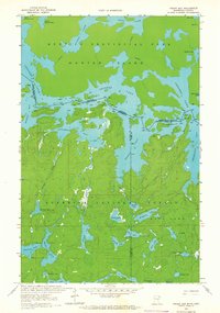
1963 · Friday Bay
USGS Topo · 1:24,000
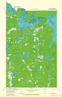
1963 · Iron Lake
USGS Topo · 1:24,000
1963 · Lapond Lake
USGS Topo · 1:24,000