Old Maps of Sunday Lake, Minnesota for Hiking & Exploration
Hike through history with 15 historic maps of Sunday Lake. Explore old trails, ghost towns, and forgotten backroads — perfect for outdoor adventurers and local explorers.
- Rediscover forgotten places: Map out old mining camps, roads, and footpaths that no longer exist on modern maps.
- Layer with modern tools: Combine with LiDAR or satellite views to plan hikes through historical terrain.
- Made for exploration: Popular among hikers, overlanders, and local history lovers.
Use these maps to find adventure and explore the hidden past of Sunday Lake.
Sunday Lake, MN maps
(15)- 1957 Map of Quetico, 1967 Print
 1957 Quetico1967 Print · USGSThe Ontario-Minnesota borderlands are captured here in the mid-fifties, showing the vast wilderness of the Boundary Waters before modern development. Genealogists and researchers can trace rail settlements along the Canadian National Railways including Atikokan, Sapawe, and Kashabowie.2 unique versions available
 - 1963 Map of Friday Bay, 1965 Print
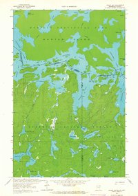 1963 Friday Bay1965 Print · USGSThe international borderlands of Minnesota and Ontario were a pristine wilderness in the 1960s. Researchers can trace the ancient canoe routes between Friday Bay and Saturday Bay or locate secluded waters like Ritual Lake and Bear Trap Lake.2 unique versions available
 - 1963 Map of Iron Lake, 1965 Print
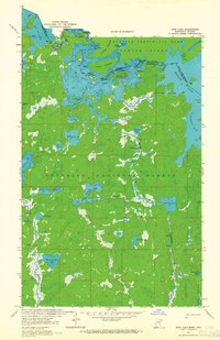 1963 Iron Lake1965 Print · USGSThe international border between Minnesota and Ontario was a roadless expanse of lakes and portages in the 1960s. Outdoor enthusiasts and researchers can trace ancient canoe routes through Curtain Falls, the islands of Iron Lake, and the remote Nibin Lake.2 unique versions available
 - 1968 Map of Quetico
 1968 Quetico1968 Print · USGSThe Ontario-Minnesota borderlands are captured here in the late 1960s, showing the vast wilderness of the Boundary Waters. Researchers can trace the Canadian National rail line through Atikokan or explore the interior lakes of Quetico Provincial Park and Hunter Island.
 - 1977 Map of Basswood Lake, 1994 Print
 1977 Basswood Lake1994 Print · USGSThe Boundary Waters and Ontario’s wilderness meet in the late seventies across a vast network of interconnected glacial lakes. Researchers can trace the international line through Basswood Lake, Crooked Lake, and around the massive Hunter Island.
 - 2011 Map of Iron Lake, 2011 Print
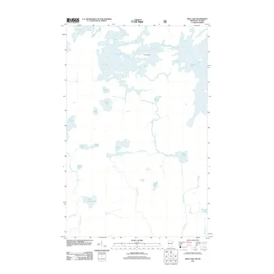 2011 Iron Lake2011 Print · USGSThe borderlands of Minnesota and Ontario are captured here in the early 2000s, showing a landscape defined entirely by its wilderness waterways. You can trace the complex flow of the Beartrap River and identify specific landmarks like Curtain Falls and Three Island.
 - 2011 Map of Friday Bay, 2011 Print
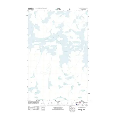 2011 Friday Bay2011 Print · USGSThe Minnesota-Ontario borderlands remained a primitive wilderness of water and forest in the early twenty-first century. Researchers can trace remote water routes and glacial landmarks through Crooked Lake, Sinneeg Lake, and Bunggee Lake.
 - 2013 Map of Iron Lake, 2013 Print
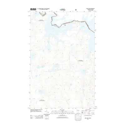 2013 Iron Lake2013 Print · USGSThe international border runs through the deep wilderness of the Boundary Waters in the early twenty-first century. Researchers can trace intricate water routes from Lac la Croix through Iron Lake to Crooked Lake, alongside the banks of Sterling Cr and the Stuart River.
 - 2013 Map of Friday Bay, 2013 Print
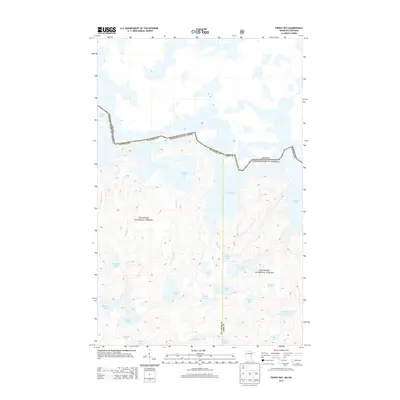 2013 Friday Bay2013 Print · USGSThe Minnesota-Ontario border follows the winding course of Crooked Lake through this roadless wilderness in the early twenty-first century. Genealogists and nature historians can trace the intricate lake systems of the Superior National Forest, including Friday Bay and Gun Lake.
 - 2016 Map of Friday Bay, 2016 Print
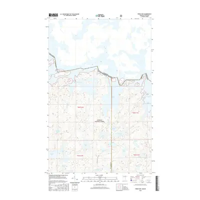 2016 Friday Bay2016 Print · USGSThe international boundary through the northern wilderness is captured here in the mid-2010s, where the waters of the Superior National Forest meet the Canadian border. Track the sequential names of the shoreline bays from Sunday Bay to Thursday Bay, and find interior features like Chippewa Lake and Gun Lake.
 - 2016 Map of Iron Lake, 2016 Print
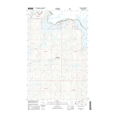 2016 Iron Lake2016 Print · USGSThe international borderlands of northern Minnesota come alive in this recent survey of the lake-studded wilderness. Canoeists and historians can trace traditional routes like LaclaCroix Pond Iron or locate remote features like Curtain Falls and Sunday Bay.
 - 2019 Map of Friday Bay, 2019 Print
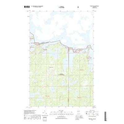 2019 Friday Bay2019 Print · USGSThe Boundary Waters wilderness comes into focus in this late 2010s survey of the northern borderlands. Trace the sequence of lake bays from Sunday to Thursday along Crooked Lake or locate interior water bodies like Ritual and Chippewa.
 - 2019 Map of Iron Lake, 2019 Print
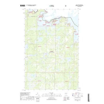 2019 Iron Lake2019 Print · USGSThe international borderlands of Saint Louis County are captured here in the late 2010s. Researchers can trace the intricate waterways of Iron Lake and Lac la Croix, or follow the path of Curtain Falls and the Beartrap River through the Superior National Forest.
 - 2022 Map of Friday Bay, 2022 Print
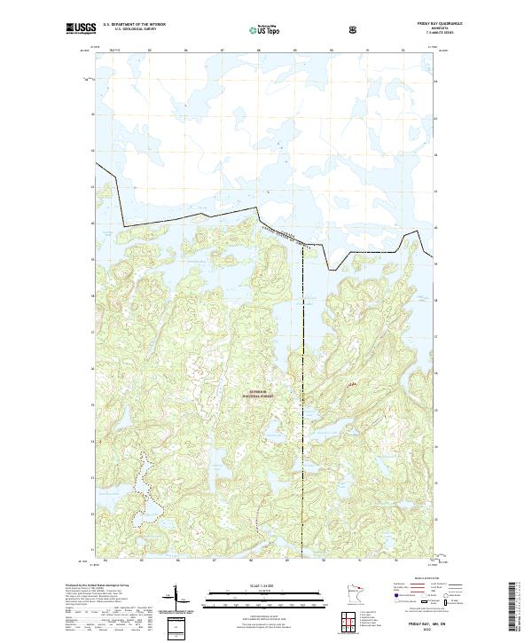 2022 Friday Bay2022 Print · USGSThe Minnesota-Canada borderlands appear in striking detail in this survey of the Superior National Forest wilderness. Trace the remote Wagosh-Lake-Gun Lake-Trl and the intricate sequence of Friday Bay, Saturday Bay, and Papoose Lake.
 - 2022 Map of Iron Lake, 2022 Print
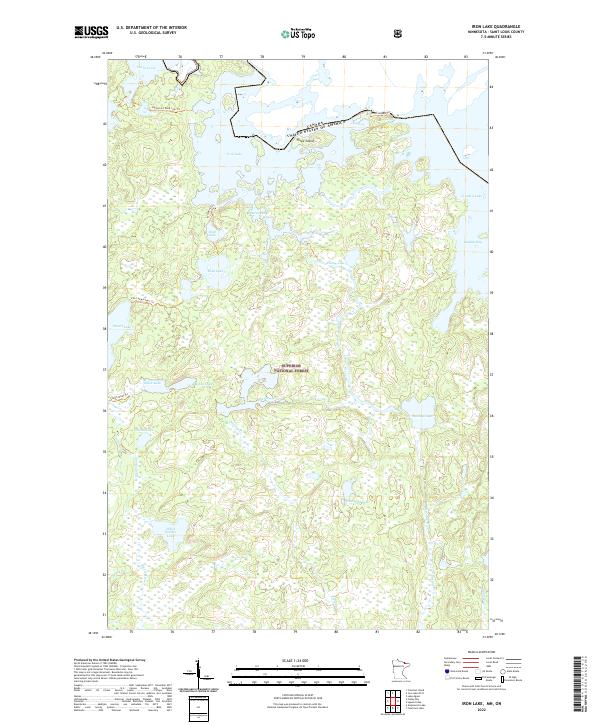 2022 Iron Lake2022 Print · USGSThe Minnesota wilderness at the Canadian border remains a pristine labyrinth of waterways and portages as seen in this 2022 survey. Trace historic backcountry routes like the Iron-Dark Trl or find secluded spots like Peterson Bay and Three Island.
End of results
Showing maps 1-15 of 15
Frequently asked questions
- What are the different types of historical maps available for Sunday Lake?
- What is the oldest map of Sunday Lake?
- Where can I purchase historical maps of Sunday Lake for my home or office?
- Where can I download high-res historical maps of Sunday Lake?
- Are there historical topographic maps available for Sunday Lake?
- Is there historical aerial imagery available for Sunday Lake?
- Where are historical maps of Sunday Lake sourced from?