Old Maps of Cedar Lake Township, Minnesota for Genealogy
Trace your family roots with 29 historic maps of Cedar Lake Township. These high-res maps reveal old neighborhoods, homesites, landmarks, and streets — helping you uncover where your ancestors lived and how the area evolved over time.
- Explore historic neighborhoods: Identify where your relatives may have lived in the 1800s or 1900s.
- Compare maps over time: Trace the changes in streets, buildings, and landmarks for multi-generational research.
- Perfect for genealogy & ancestry research: Used by family historians and researchers to map out lineage and migration.
These maps are an incredible resource for exploring your personal connection to Cedar Lake Township's past.
Cedar Lake Township, MN maps
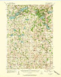
(29)- 1953 Map of Saint Paul, 1964 Print
 1953 Saint Paul1964 Print · USGSThe Twin Cities and the Mississippi River valley are captured here at a mid-century turning point. Trace the early growth of Minneapolis and Saint Paul alongside landmarks like Lake Minnetonka and the St Croix River.4 unique versions available
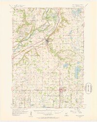
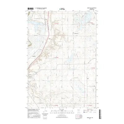
 - 1957 Map of Prior Lake, 1958 Print
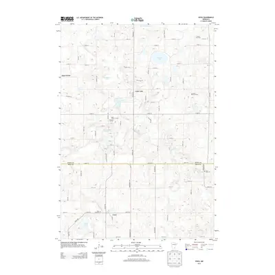
 1957 Prior Lake1958 Print · USGSScott and Rice Counties appear here in the late 1950s, showing a region defined by its numerous glacial lakes and small farming hamlets. Genealogists and researchers can trace rural school locations and historic churches such as St Catherine Ch, Elko, and several noted sites like School No 52 (Abandoned).2 unique versions available
 - 1957 Map of New Prague, 1959 Print
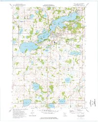
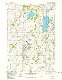
 1957 New Prague1959 Print · USGSScott and Le Sueur Counties in the late fifties reveal a landscape of deep-rooted parish settlements and thriving river-valley agriculture. Genealogists can trace family footprints through rural sites like East Union, St Benedict, and the St Josephs Sch Cem.2 unique versions available
 - 1959 Map of Saint Paul
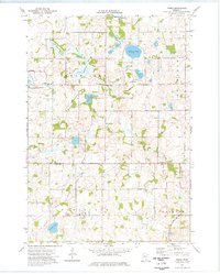
 1959 Saint Paul1959 Print · USGSThe Twin Cities and southeastern Minnesota appear here in the late fifties, showing the peak of the rail era and post-war suburban growth. Genealogists can trace family footprints near Lake Minnetonka, the Univ Of Minn Rosemount Research Center, or the growing neighborhoods of Richfield.2 unique versions available
 - 1974 Map of Prior Lake, 1976 Print
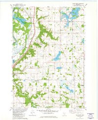
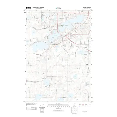
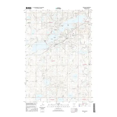
 1974 Prior Lake1976 Print · USGSPrior Lake and the surrounding lake country of Scott County are captured here in the mid-1970s. Genealogists and local historians can trace family ties at Concord Cem, explore the early footprint of Grainwood, and locate landmarks like St Catherine Ch.2 unique versions available
 - 1974 Map of Veseli, 1976 Print
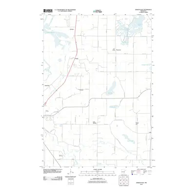
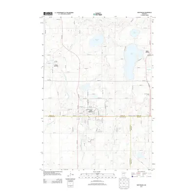
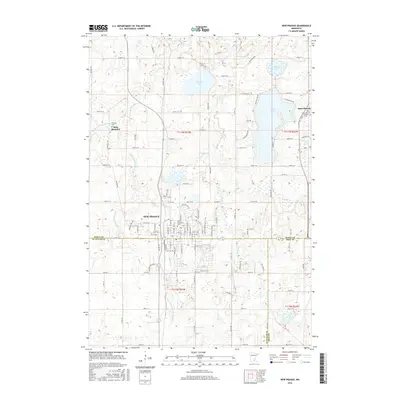
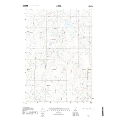
 1974 Veseli1976 Print · USGSThe rural lake country of Scott and Rice Counties is captured here in the mid-1970s, centered on the village of Veseli. Family historians can locate landmarks like St Johns Cem, the Sharkey Landing Field, and the Milwaukee Road rail line.
 - 1981 Map of New Prague, 1982 Print
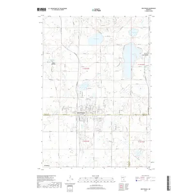
 1981 New Prague1982 Print · USGSNew Prague and the surrounding lake country of Scott and Le Sueur counties are shown here in the early eighties as the area maintained its agricultural and rail roots. Genealogists and local historians can trace the town grid to Sancti Wenceslai Cem, follow the Chicago and North Western tracks, or locate rural centers like St Benedict and St Patrick.
 - 1981 Map of Jordan East, 1982 Print
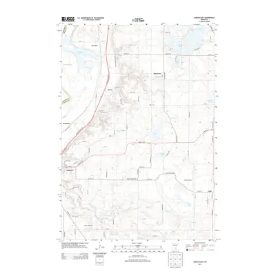
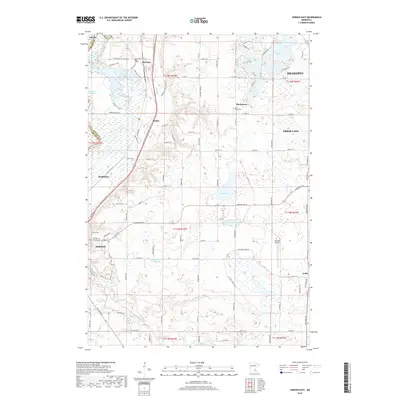
 1981 Jordan East1982 Print · USGSScott County in the early eighties remains a landscape of small agricultural hamlets and glacial lakes. Researchers can trace the rail lines of the Chicago and North Western, locate local burial sites like St Marys Cem, or find the small community of Mudbaden.2 unique versions available
 - 1985 Map of Saint Paul
 1985 Saint Paul1985 Print · USGSThe Twin Cities metropolitan area and its southern suburbs are captured here in the mid-eighties as the urban landscape expanded toward the Minnesota River. Researchers can trace the layout of the Fort Snelling Military Reservation, find local landmarks like St Benedict Church, and study the rail routes of the Soo Line.2 unique versions available
 - 2010 Map of New Prague, 2010 Print
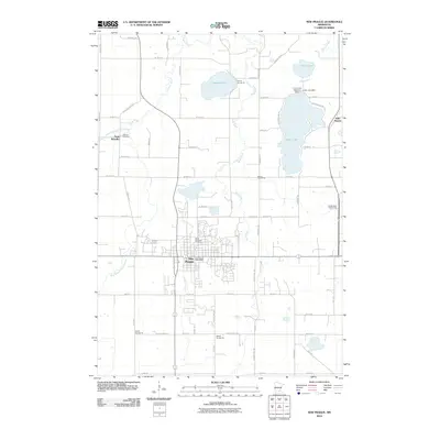 2010 New Prague2010 Print · USGSCovers Cedar Lake Township, including New Prague, Heidelberg, and other nearby areas
 - 2010 Map of Veseli, 2010 Print
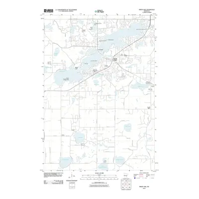
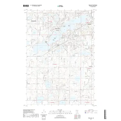
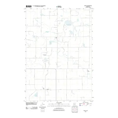 2010 Veseli2010 Print · USGSCovers Cedar Lake Township, including Elko New Market, Cedar Lake, and other nearby areas
 - 2010 Map of Prior Lake, 2010 Print
 2010 Prior Lake2010 Print · USGSCovers Cedar Lake Township, including Shakopee, Savage, and other nearby areas
 - 2010 Map of Jordan East, 2010 Print
 2010 Jordan East2010 Print · USGSCovers Cedar Lake Township, including Shakopee, Prior Lake, and other nearby areas
 - 2013 Map of Prior Lake, 2013 Print
 2013 Prior Lake2013 Print · USGSCovers Cedar Lake Township, including Shakopee, Savage, and other nearby areas
 - 2013 Map of Veseli, 2013 Print
 2013 Veseli2013 Print · USGSCovers Cedar Lake Township, including Elko New Market, Cedar Lake, and other nearby areas
 - 2013 Map of New Prague, 2013 Print
 2013 New Prague2013 Print · USGSCovers Cedar Lake Township, including New Prague, Heidelberg, and other nearby areas
 - 2013 Map of Jordan East, 2013 Print
 2013 Jordan East2013 Print · USGSCovers Cedar Lake Township, including Shakopee, Prior Lake, and other nearby areas
 - 2016 Map of Veseli, 2016 Print
 2016 Veseli2016 Print · USGSCovers Cedar Lake Township, including Elko New Market, Cedar Lake, and other nearby areas
 - 2016 Map of New Prague, 2016 Print
 2016 New Prague2016 Print · USGSCovers Cedar Lake Township, including New Prague, Heidelberg, and other nearby areas
 - 2016 Map of Jordan East, 2016 Print
 2016 Jordan East2016 Print · USGSCovers Cedar Lake Township, including Shakopee, Prior Lake, and other nearby areas
 - 2016 Map of Prior Lake, 2016 Print
 2016 Prior Lake2016 Print · USGSCovers Cedar Lake Township, including Shakopee, Savage, and other nearby areas
 - 2019 Map of Veseli, 2019 Print
 2019 Veseli2019 Print · USGSCovers Cedar Lake Township, including Elko New Market, Cedar Lake, and other nearby areas
 - 2019 Map of New Prague, 2019 Print
 2019 New Prague2019 Print · USGSCovers Cedar Lake Township, including New Prague, Heidelberg, and other nearby areas
 - 2019 Map of Jordan East, 2019 Print
 2019 Jordan East2019 Print · USGSCovers Cedar Lake Township, including Shakopee, Prior Lake, and other nearby areas
 - 2019 Map of Prior Lake, 2019 Print
 2019 Prior Lake2019 Print · USGSCovers Cedar Lake Township, including Shakopee, Savage, and other nearby areas
Showing maps 1-25 of 29
Top cities near Cedar Lake Township
- Bloomington historical maps
- Eden Prairie historical maps
- Burnsville historical maps
- Lakeville historical maps
- Apple Valley historical maps
- Shakopee historical maps
See more
Top neighborhoods of Cedar Lake Township
Frequently asked questions
- What are the different types of historical maps available for Cedar Lake Township?
- What is the oldest map of Cedar Lake Township?
- Where can I purchase historical maps of Cedar Lake Township for my home or office?
- Where can I download high-res historical maps of Cedar Lake Township?
- Are there historical topographic maps available for Cedar Lake Township?
- Is there historical aerial imagery available for Cedar Lake Township?
- Where are historical maps of Cedar Lake Township sourced from?