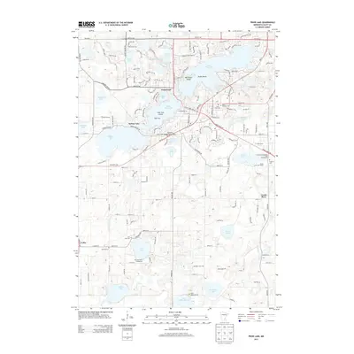
2013 Map of Prior Lake
USGS Topo · Published 2013About this map
Upper Prior Lake and Lower Prior Lake dominate this Scott County landscape, centered on the community of Grainwood. The 2013 survey illustrates a region defined by its numerous water bodies and islands, including Reeds Island and Lone Tree Island. Local history is anchored by several long-standing burial grounds such as Saint Michaels Cem, Saint Pauls Cem, and Concord Cem. In the southern reaches, the settlement of Lydia and landmarks like Fish Lake reflect a more rural character compared to the growing residential corridors to the north. Significant recreational sites are established throughout, notably the Cleary Lake Regional Park Campground and the Cleary Lake Golf Course. The map also traces the winding course of the Credit River as it moves toward the northeast corner of the quadrangle.
Find a feature on this map
156 named features on this map. Tap any name to fly to it.
Don’t see what you’re looking for? This feature index may not catch every label — zoom into the map to look around manually.
Map Details
Editions of this 2013 Prior Lake Map
This is the sole edition of this map. No revisions or reprints were ever made.
Other maps of this area

1896 · Minneapolis
USGS Topo · 1:62,500

1901 · Minneapolis
USGS Topo · 1:62,500

1905 · Minnetonka
USGS Topo · 1:62,500

1907 · Minnetonka
USGS Topo · 1:62,500

1953 · Saint Paul
USGS Topo · 1:250,000

1954 · Bloomington
USGS Topo · 1:24,000

1954 · Eden Prairie
USGS Topo · 1:24,000

1954 · Minneapolis
USGS Topo · 1:62,500

1957 · Prior Lake
USGS Topo · 1:62,500

1957 · New Prague
USGS Topo · 1:62,500