Old Maps of Clear Lake Township, Minnesota for Academic Research
Study the evolution of Clear Lake Township with 27 high-resolution historic maps. Whether you're teaching, researching, or modeling changes in land use, these maps provide essential visual documentation of urban, environmental, and geographic change.
- Analyze long-term change: Track patterns in development, transportation, and natural features.
- Ideal for environmental or urban studies: Support academic projects with primary historical map data.
- Use in the classroom or lab: Educators and researchers rely on these maps to bring historical context to life.
These maps are a powerful tool for teaching, research, and visualizing how Clear Lake Township has changed over the decades.
Clear Lake Township, MN maps
(27)- 1951 Map of Annandale, 1953 Print
 1951 Annandale1953 Print · USGSCentral Minnesota's lake country is captured here in the early fifties, showing the rural communities of Wright and Stearns Counties. Researchers can locate numerous family landmarks, from Silver Creek Ch to numbered schoolhouses and Bungalow Island on Clearwater Lake.2 unique versions available
 - 1953 Map of Saint Cloud, 1968 Print
 1953 Saint Cloud1968 Print · USGSCentral Minnesota's lake country and the Mississippi River valley are caught in a period of steady mid-century growth. Researchers can trace historic rail lines, old granite works, and local landmarks like St. Johns University, Camp Ripley, and the shores of Lake Minnewaska.3 unique versions available
 - 1953 Map of Stillwater, 1980 Print
 1953 Stillwater1980 Print · USGSThe Twin Cities and the St. Croix Valley are captured in this mid-century survey as the interstate era began to transform the Upper Midwest. Genealogists and historians can trace the rail-and-river geography of Stillwater, locate landmarks in Anoka, or explore the sprawling St Croix State Park.
 - 1955 Map of Stillwater, 1965 Print
 1955 Stillwater1965 Print · USGSThe Upper St. Croix Valley and the growing Twin Cities area are shown here during the mid-fifties, before the interstate era transformed the regional commute. You can trace the lines of the Northern Pacific RR through towns like Rush City or locate the Saint Croix Indian Reservation.
 - 1957 Map of Saint Cloud
 1957 Saint Cloud1957 Print · USGSCentral Minnesota's lake country and rail corridors are meticulously detailed in the mid-1950s. Genealogists and researchers can trace the growth of towns like Alexandria, Willmar, and Saint Cloud along the Great Northern railroad line.
 - 1958 Map of Stillwater
 1958 Stillwater1958 Print · USGSThe Upper Mississippi and St. Croix River valleys appear in the mid-fifties as the Twin Cities expanded north. Genealogists can locate family landmarks like Oak Park Cem, Saint Michael Church, and the Soo Line RR rail corridors.2 unique versions available
 - 1958 Map of Saint Cloud
 1958 Saint Cloud1958 Print · USGSCentral Minnesota in the mid-1950s shows a landscape of growing regional hubs and hundreds of glacial lakes connected by an extensive rail network. Genealogists and historians can trace the early footprints of Saint Cloud, Alexandria, and Willmar along the Great Northern Railway.
 - 1961 Map of Clear Lake, 1963 Print
 1961 Clear Lake1963 Print · USGSIn the early 1960s, this area of central Minnesota was defined by its glacial lakes and the rail corridor connecting Clear Lake and Becker. Researchers can trace family history through the Cem and local landmarks like the Aqueduct or Mosford Lake.3 unique versions available
 - 1961 Map of Monticello, 1965 Print
 1961 Monticello1965 Print · USGSUpper Mississippi valley river towns and rail corridors thrive here during the early sixties, caught between the prairie and the Big Woods. Researchers can trace family sites at St Henrys Cem, locate the Carter Sch, or follow the twin rail lines of the Great Northern and Northern Pacific.3 unique versions available
 - 1965 Map of Stillwater
 1965 Stillwater1965 Print · USGSThe Twin Cities and the St. Croix Valley are mapped here during a period of significant post-war growth and industrial transit. Genealogists and historians can trace rail lines like the Northern Pacific RR through towns such as Rush City, Amery, and Balsam Lake.
 - 1974 Map of Clearwater, 1976 Print
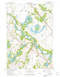 1974 Clearwater1976 Print · USGSThe tri-county junction of Sherburne, Stearns, and Wright counties comes alive in the mid-1970s as the river-and-rail economy centers on Clearwater. Local historians and genealogists can pinpoint specific family landmarks such as St Marcus Cem, Clearview Sch, and the winding path of Plum Creek.
 - 1975 Map of Stillwater
 1975 Stillwater1975 Print · USGSThe Twin Cities and the St. Croix Valley are captured in the mid-seventies, showing the urban growth of Minneapolis and St Paul. Researchers can trace old rail corridors of the Northern Pacific RR and locate tribal lands at the Mille Lacs Indian Reservation.2 unique versions available
 - 1985 Map of Anoka
 1985 Anoka1985 Print · USGSThe northern Twin Cities suburbs and the Mississippi River valley are captured here in the mid-eighties as suburban growth began to meet rural conservation lands. Trace the expansion of Anoka and Blaine, or locate family landmarks near the Rum River and Buffalo Lake.
 - 1986 Map of Litchfield
 1986 Litchfield1986 Print · USGSCentral Minnesota in the mid-eighties was a landscape of conservation and transport, where the Burlington Northern rail line connected thriving lake towns. Genealogists and historians can trace old townships and landmarks like St Nicholas, Forest City, and School House Lake.2 unique versions available
 - 1991 Map of Anoka, 1992 Print
 1991 Anoka1992 Print · USGSThe northern Twin Cities suburbs and the upper Mississippi River valley are captured here in the early nineties during a period of rapid suburban expansion. Trace the rail corridors of the Burlington Northern Railroad or explore the boundaries of the Sherburne National Wildlife Refuge and Lake Maria State Park.
 - 1991 Map of Clearwater, 1995 Print
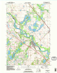 1991 Clearwater1995 Print · USGSThe tri-county region of Central Minnesota is captured here during the 1990s, centered on the river-front growth of Clearwater and Clear Lake. Researchers can trace old family plots at St Luke Cem and St Marcus Cem or locate the numerous landings along the Mississippi River.
 - 1991 Map of Clear Lake, 1995 Print
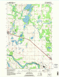 1991 Clear Lake1995 Print · USGSSherburne County in the early nineties is a landscape of glacial lakes and river bends where the Mississippi River meets the rural prairie. Genealogists and local historians can trace the developments of Clear Lake and Becker or locate family sites near Briggs Lake and the Cem.
 - 2010 Map of Clearwater, 2010 Print
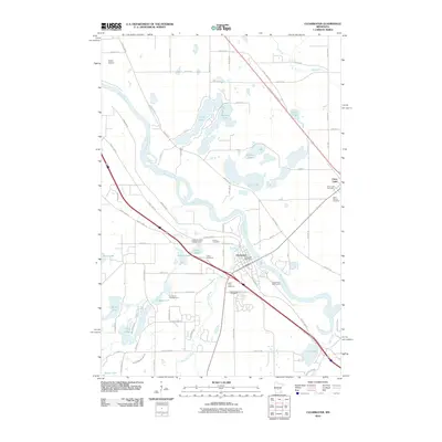 2010 Clearwater2010 Print · USGSThe confluence of the Mississippi and Clearwater Rivers defined this region's layout and recreation at the start of the decade. Researchers can trace local heritage through several burial sites like Saint Luke Cemetery and landmarks such as the Clearwater Post Office.
 - 2010 Map of Clear Lake, 2010 Print
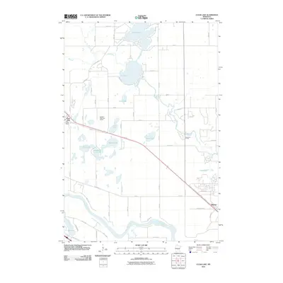 2010 Clear Lake2010 Print · USGSSherburne County at the turn of the 21st century is a landscape of glacial lakes and riverfront settlements. Researchers can trace local landmarks like the Clear Lake Post Office, Leaders Clear Lake Airport, and the winding banks of the Mississippi River.
 - 2013 Map of Clearwater, 2013 Print
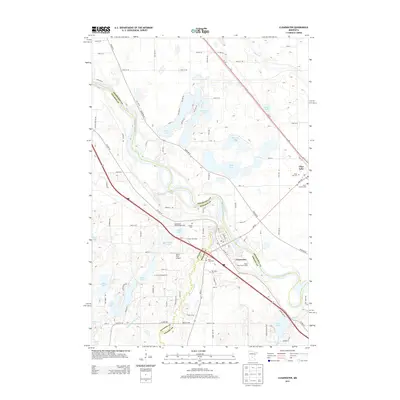 2013 Clearwater2013 Print · USGSThe riverfront settlements of Clear Lake and Clearwater are captured here in the early 2010s, where the Mississippi and Clearwater rivers meet. Genealogists can trace several local burial sites including Acacia Cem and Saint Luke Cem near the Seven Hills Airport.
 - 2013 Map of Clear Lake, 2013 Print
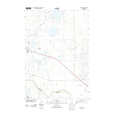 2013 Clear Lake2013 Print · USGSSherburne County at the turn of the decade shows a landscape shaped by the Mississippi River and the small town of Clear Lake. Local historians can trace local landmarks like Saint Marcus Cem or aviation history at Leaders/Clear Lake Airport and Miller Airport.
 - 2016 Map of Clearwater, 2016 Print
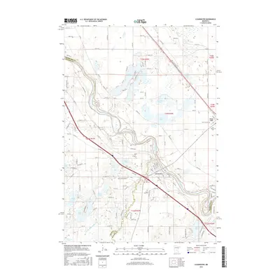 2016 Clearwater2016 Print · USGSThe confluence of the Mississippi and Clearwater rivers defines this area in the mid-2010s. Local researchers can trace family plots at Clear Lake Cem or Mount Hope Cem and locate landmarks like the Seven Hills Airport.
 - 2016 Map of Clear Lake, 2016 Print
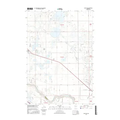 2016 Clear Lake2016 Print · USGSSherburne County in the mid-2010s shows a landscape of river-bend settlements and numerous glacial lakes north of the Mississippi River. Genealogists and local historians can trace the growth of Becker and Clear Lake or locate landmarks like Leaders Clear Lake Airport and Elk Lake.
 - 2019 Map of Clearwater, 2019 Print
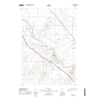 2019 Clearwater2019 Print · USGSThe tri-county junction of Sherburne, Stearns, and Wright counties comes alive in this modern survey of the upper Mississippi corridor. Trace local family history and rural development through markers like Saint Luke Cem, the Seven Hills Airport, and the small community of Clearwater.
 - 2019 Map of Clear Lake, 2019 Print
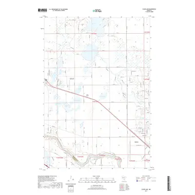 2019 Clear Lake2019 Print · USGSSherburne County at the end of the 2010s shows a landscape of river-valley agriculture and numerous glacial lakes. Researchers can trace local landmarks like Clear Lake Cem, the aviation history of Leaders Clear Lake Airport, and the winding course of the Elk River.
Showing maps 1-25 of 27
Top cities near Clear Lake Township
- St. Cloud historical maps
- Saint Cloud historical maps
- Buffalo historical maps
- Sauk Rapids historical maps
- Monticello historical maps
- Sartell historical maps
See more
Frequently asked questions
- What are the different types of historical maps available for Clear Lake Township?
- What is the oldest map of Clear Lake Township?
- Where can I purchase historical maps of Clear Lake Township for my home or office?
- Where can I download high-res historical maps of Clear Lake Township?
- Are there historical topographic maps available for Clear Lake Township?
- Is there historical aerial imagery available for Clear Lake Township?
- Where are historical maps of Clear Lake Township sourced from?