Old Maps of Haven Township, Minnesota
Explore 32 old maps of Haven Township, spanning from 1950 to today. These high-resolution historic maps reveal how streets, neighborhoods, landmarks, and natural features evolved over time — perfect for genealogy, metal detecting, research, and local history exploration.
What you can do with these maps:
- See how Haven Township changed over time: Compare historical maps to modern-day views to trace roads, homesites, rail lines & more.
- View detailed metadata: Each map includes creators, publishers, year, scale, and archive source.
- Overlay maps with satellite & LiDAR: Visualize the past alongside modern tools to explore terrain & human change.
- Trusted historical sources: Maps sourced from the USGS, Library of Congress, and other archives.
- Access maps your way: View online, download high-res files, or order prints for personal or research use.
Start exploring old maps of Haven Township to uncover forgotten places, hidden landmarks, and the deep history beneath your feet.
Haven Township, MN maps
(32)- 1950 Map of St. Cloud, 1952 Print
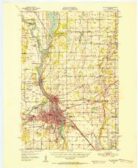 1950 St. Cloud1952 Print · USGSMid-century St. Cloud and its neighbors grew along the river as a hub of education, granite quarrying, and transport. Local researchers can locate the State Teachers College, the State Reformatory, and numerous rural schools like School No 5.3 unique versions available
 - 1951 Map of Annandale, 1953 Print
 1951 Annandale1953 Print · USGSCentral Minnesota's lake country is captured here in the early fifties, showing the rural communities of Wright and Stearns Counties. Researchers can locate numerous family landmarks, from Silver Creek Ch to numbered schoolhouses and Bungalow Island on Clearwater Lake.2 unique versions available
 - 1953 Map of Saint Cloud, 1968 Print
 1953 Saint Cloud1968 Print · USGSCentral Minnesota's lake country and the Mississippi River valley are caught in a period of steady mid-century growth. Researchers can trace historic rail lines, old granite works, and local landmarks like St. Johns University, Camp Ripley, and the shores of Lake Minnewaska.3 unique versions available
 - 1957 Map of Saint Cloud
 1957 Saint Cloud1957 Print · USGSCentral Minnesota's lake country and rail corridors are meticulously detailed in the mid-1950s. Genealogists and researchers can trace the growth of towns like Alexandria, Willmar, and Saint Cloud along the Great Northern railroad line.
 - 1958 Map of Saint Cloud
 1958 Saint Cloud1958 Print · USGSCentral Minnesota in the mid-1950s shows a landscape of growing regional hubs and hundreds of glacial lakes connected by an extensive rail network. Genealogists and historians can trace the early footprints of Saint Cloud, Alexandria, and Willmar along the Great Northern Railway.
 - 1974 Map of Cable, 1976 Print
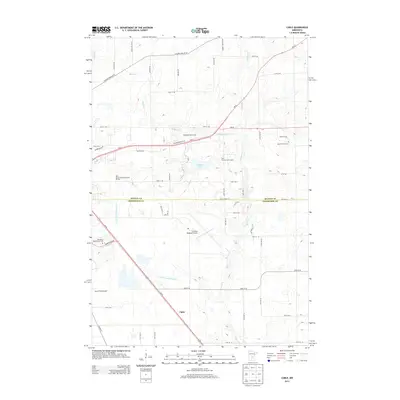
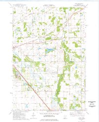 1974 Cable1976 Print · USGSBenton and Sherburne counties appear in the mid-seventies during a period of industrial and municipal expansion along the Elk River. Researchers can locate the State Reformatory, the Drive-in Theater, and the historic Cable station site along the Burlington Northern line.2 unique versions available
 - 1974 Map of St Augusta, 1976 Print
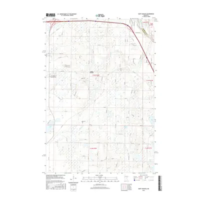
 1974 St Augusta1976 Print · USGSStearns County was undergoing significant infrastructure growth in the mid-1970s as new highway routes were developed alongside the historic river corridor. Genealogists and local historians can trace family roots through sites like St Marys Cem, the settlement of Luxemburg, and the waters of Beaver Lake.
 - 1974 Map of St. Cloud, 1976 Print
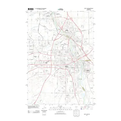
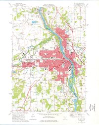 1974 St. Cloud1976 Print · USGSMid-century development in the St Cloud area is captured here as the city expanded across the Mississippi River. Researchers can trace the layout of St Cloud State College and locate numerous historical burial grounds like North Star Cem and St Joseph Cem.2 unique versions available
 - 1974 Map of Clearwater, 1976 Print
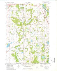
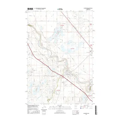
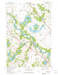 1974 Clearwater1976 Print · USGSThe tri-county junction of Sherburne, Stearns, and Wright counties comes alive in the mid-1970s as the river-and-rail economy centers on Clearwater. Local historians and genealogists can pinpoint specific family landmarks such as St Marcus Cem, Clearview Sch, and the winding path of Plum Creek.
 - 1986 Map of St. Cloud
 1986 St. Cloud1986 Print · USGSCentral Minnesota in the mid-1980s reveals a landscape where river industry and growing highway corridors meet traditional farming communities. Researchers can trace the layout of small-town landmarks like St Wendel Ch and St Anna Cem or follow the path of the Sauk River as it winds toward the Mississippi.2 unique versions available
 - 1986 Map of Litchfield
 1986 Litchfield1986 Print · USGSCentral Minnesota in the mid-eighties was a landscape of conservation and transport, where the Burlington Northern rail line connected thriving lake towns. Genealogists and historians can trace old townships and landmarks like St Nicholas, Forest City, and School House Lake.2 unique versions available
 - 1991 Map of Clearwater, 1995 Print
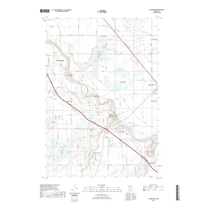
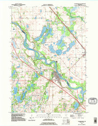 1991 Clearwater1995 Print · USGSThe tri-county region of Central Minnesota is captured here during the 1990s, centered on the river-front growth of Clearwater and Clear Lake. Researchers can trace old family plots at St Luke Cem and St Marcus Cem or locate the numerous landings along the Mississippi River.
 - 2010 Map of Clearwater, 2010 Print
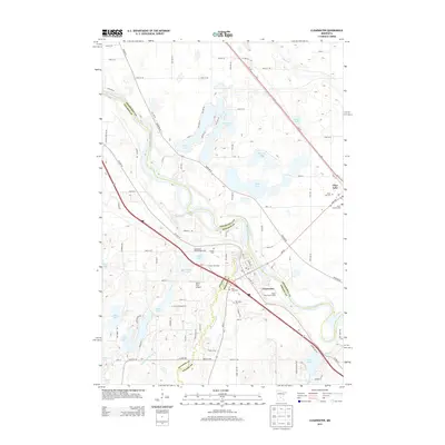
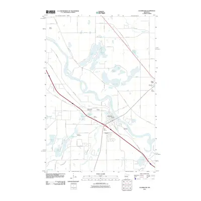 2010 Clearwater2010 Print · USGSCovers Haven Township, including St. Cloud, Clearwater, and other nearby areas
 - 2010 Map of Saint Augusta, 2010 Print
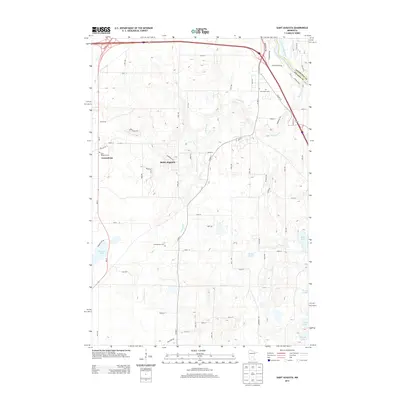
 2010 Saint Augusta2010 Print · USGSCovers Haven Township, including St. Cloud, Saint Augusta, and other nearby areas
 - 2010 Map of Cable, 2010 Print
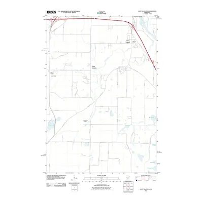
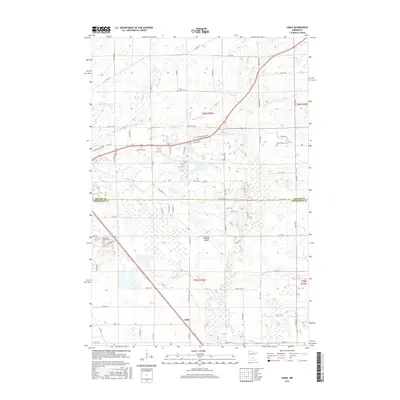
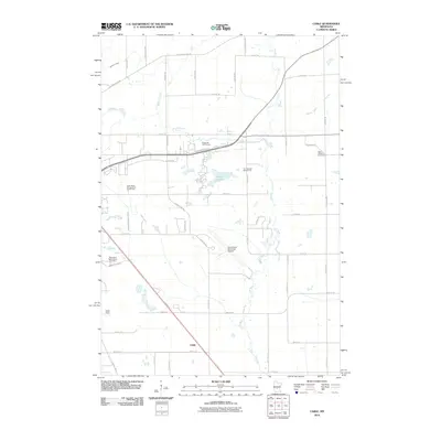 2010 Cable2010 Print · USGSCovers Haven Township, including St. Cloud, Sauk Rapids, and other nearby areas
 - 2010 Map of Saint Cloud, 2010 Print
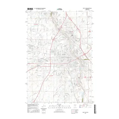
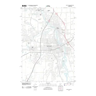 2010 Saint Cloud2010 Print · USGSCovers Haven Township, including St. Cloud, Saint Cloud, and other nearby areas
 - 2013 Map of Saint Augusta, 2013 Print
 2013 Saint Augusta2013 Print · USGSCovers Haven Township, including St. Cloud, Saint Augusta, and other nearby areas
 - 2013 Map of Clearwater, 2013 Print
 2013 Clearwater2013 Print · USGSCovers Haven Township, including St. Cloud, Clearwater, and other nearby areas
 - 2013 Map of Cable, 2013 Print
 2013 Cable2013 Print · USGSCovers Haven Township, including St. Cloud, Sauk Rapids, and other nearby areas
 - 2013 Map of Saint Cloud, 2013 Print
 2013 Saint Cloud2013 Print · USGSCovers Haven Township, including St. Cloud, Saint Cloud, and other nearby areas
 - 2016 Map of Saint Cloud, 2016 Print
 2016 Saint Cloud2016 Print · USGSCovers Haven Township, including St. Cloud, Saint Cloud, and other nearby areas
 - 2016 Map of Cable, 2016 Print
 2016 Cable2016 Print · USGSCovers Haven Township, including St. Cloud, Sauk Rapids, and other nearby areas
 - 2016 Map of Saint Augusta, 2016 Print
 2016 Saint Augusta2016 Print · USGSCovers Haven Township, including St. Cloud, Saint Augusta, and other nearby areas
 - 2016 Map of Clearwater, 2016 Print
 2016 Clearwater2016 Print · USGSCovers Haven Township, including St. Cloud, Clearwater, and other nearby areas
 - 2019 Map of Clearwater, 2019 Print
 2019 Clearwater2019 Print · USGSCovers Haven Township, including St. Cloud, Clearwater, and other nearby areas
Showing maps 1-25 of 32
Top cities near Haven Township
- St. Cloud historical maps
- Saint Cloud historical maps
- Sauk Rapids historical maps
- Monticello historical maps
- Sartell historical maps
- Waite Park historical maps
See more
Frequently asked questions
- What are the different types of historical maps available for Haven Township?
- What is the oldest map of Haven Township?
- Where can I purchase historical maps of Haven Township for my home or office?
- Where can I download high-res historical maps of Haven Township?
- Are there historical topographic maps available for Haven Township?
- Is there historical aerial imagery available for Haven Township?
- Where are historical maps of Haven Township sourced from?