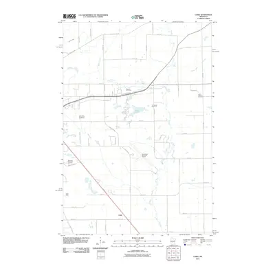
2010 Map of Cable
USGS Topo · Published 2010About this map
Elk River meanders through this landscape east of St. Cloud, defining the drainage patterns alongside Mayhew Creek and County Ditch Number Three. The settlement of Cable sits at a crossroads in the southern portion of the map, illustrating the transitional character of the region as it balances aviation infrastructure and recreational spaces. Significant land use is dedicated to the Saint Cloud Municipal Airport and nearby Aysta Field, while the recreational landscape is shaped by the Wapicada Golf Course, The Fairways Golf Course, and Donovan Lake. For genealogists and local historians, the presence of the Saint Patrick's Cemetery and the Minnesota Reformatory Cemetery provides specific points of interest. The network of roads, including Golden Spike Rd NE and Minnesota Blvd, reveals the organized grid of Sherburne and Benton counties at the start of the 2010s.
Find a feature on this map
50 named features on this map. Tap any name to fly to it.
Don’t see what you’re looking for? This feature index may not catch every label — zoom into the map to look around manually.
Map Details
Editions of this 2010 Cable Map
This is the sole edition of this map. No revisions or reprints were ever made.
Other maps of this area

1950 · St. Cloud
USGS Topo · 1:62,500

1951 · Annandale
USGS Topo · 1:62,500

1953 · Saint Cloud
USGS Topo · 1:250,000

1953 · Stillwater
USGS Topo · 1:250,000

1955 · Stillwater
USGS Topo · 1:250,000

1957 · Saint Cloud
USGS Topo · 1:250,000

1958 · Stillwater
USGS Topo · 1:250,000

1958 · Saint Cloud
USGS Topo · 1:250,000

1961 · Clear Lake
USGS Topo · 1:24,000

1961 · Monticello
USGS Topo · 1:62,500