Old Maps of St. James, Minnesota for Hiking & Exploration
Hike through history with 15 historic maps of St. James. Explore old trails, ghost towns, and forgotten backroads — perfect for outdoor adventurers and local explorers.
- Rediscover forgotten places: Map out old mining camps, roads, and footpaths that no longer exist on modern maps.
- Layer with modern tools: Combine with LiDAR or satellite views to plan hikes through historical terrain.
- Made for exploration: Popular among hikers, overlanders, and local history lovers.
Use these maps to find adventure and explore the hidden past of St. James.
St. James, MN maps
(15)- 1954 Map of Fairmont, 1967 Print
 1954 Fairmont1967 Print · USGSThe prairie landscape of southern Minnesota and northern Iowa comes alive in this mid-century survey of the Coteau des Prairies. Genealogists and historians can trace the rail-connected growth of Fairmont and Blue Earth or locate family roots near St Kilian Ch and Union Slough National Wildlife Refuge.3 unique versions available
 - 1958 Map of Fairmont
 1958 Fairmont1958 Print · USGSThe borderlands of southern Minnesota and northern Iowa come alive in the mid-1950s, showing a landscape defined by glacial lakes and rail-line commerce. Researchers can trace historic landmarks like Lakeside Laboratory, Gridley Station, and the Bancroft Wildlife Refuge across the prairie.
 - 1970 Map of St James West, 1972 Print
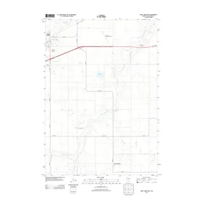
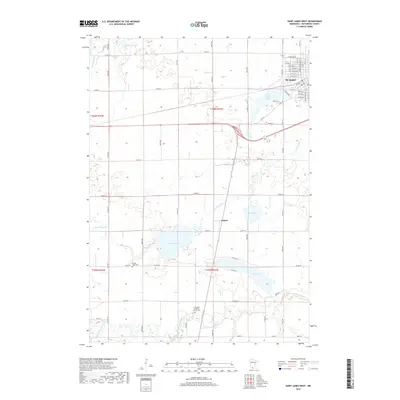
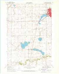 1970 St James West1972 Print · USGSWatonwan County's agricultural and rail heartland is captured here in the early seventies, centered on the growing community of St James. Genealogists and local historians can trace rural roots through landmarks like Kansas Lake Ch, the settlement of Echols, and the prominent Chicago and North Western rail line.2 unique versions available
 - 1970 Map of St James East, 1972 Print
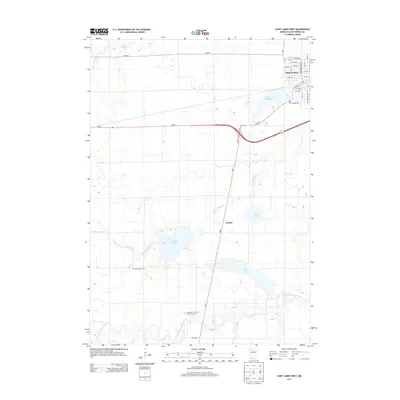
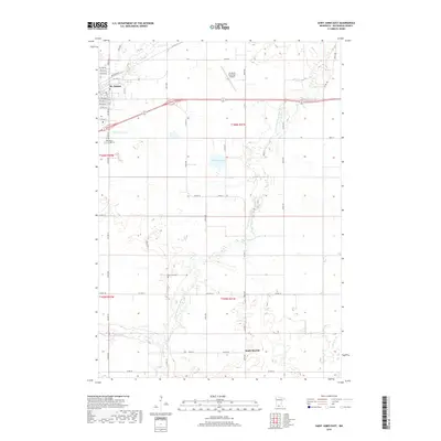
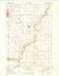 1970 St James East1972 Print · USGSWatonwan County in the early seventies shows a landscape of steady agricultural management and growing civic infrastructure. Genealogists and local historians can trace the Chicago and North Western rail corridor and find family landmarks like Mt Hope Cem or the village of South Branch.
 - 1985 Map of Fairmont, 1991 Print
 1985 Fairmont1991 Print · USGSSouthern Minnesota in the mid-eighties shows a robust network of prairie towns and rail-connected agricultural hubs. Genealogists can trace family footprints across Rolling Green and Manyaska or locate old homesteads near Fox Lake and the Chicago & North Western line.
 - 2010 Map of Saint James West, 2010 Print
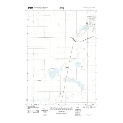 2010 Saint James West2010 Print · USGSCovers St. James, including Saint James, Echols, and other nearby areas
 - 2010 Map of Saint James East, 2010 Print
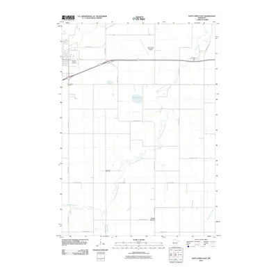 2010 Saint James East2010 Print · USGSCovers St. James, including South Branch, Watonwan County, and other nearby areas
 - 2013 Map of Saint James East, 2013 Print
 2013 Saint James East2013 Print · USGSCovers St. James, including South Branch, Watonwan County, and other nearby areas
 - 2013 Map of Saint James West, 2013 Print
 2013 Saint James West2013 Print · USGSCovers St. James, including Saint James, Echols, and other nearby areas
 - 2016 Map of Saint James West, 2016 Print
 2016 Saint James West2016 Print · USGSCovers St. James, including Saint James, Echols, and other nearby areas
 - 2016 Map of Saint James East, 2016 Print
 2016 Saint James East2016 Print · USGSCovers St. James, including South Branch, Watonwan County, and other nearby areas
 - 2019 Map of Saint James West, 2019 Print
 2019 Saint James West2019 Print · USGSCovers St. James, including Saint James, Echols, and other nearby areas
 - 2019 Map of Saint James East, 2019 Print
 2019 Saint James East2019 Print · USGSCovers St. James, including South Branch, Watonwan County, and other nearby areas
 - 2022 Map of Saint James East, 2022 Print
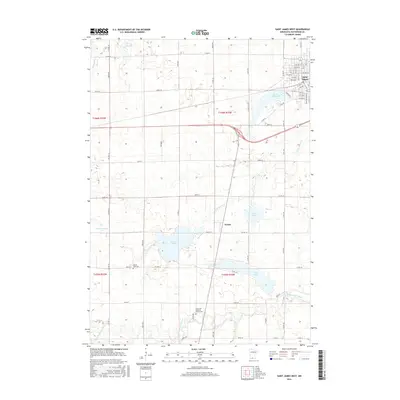
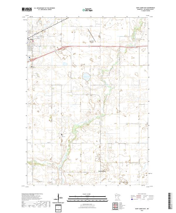 2022 Saint James East2022 Print · USGSThe agricultural lands of Watonwan County are shown in the twenty-first century as they surround the growing community of St. James. Genealogists and local historians can locate Mount Hope Cem, Sell-Lamb Cem, and the waters of the S Fork Watonwan River.
 - 2022 Map of Saint James West, 2022 Print
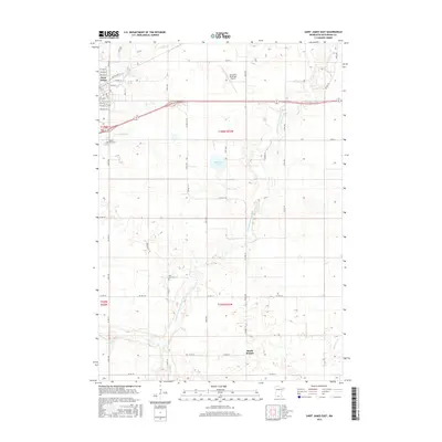
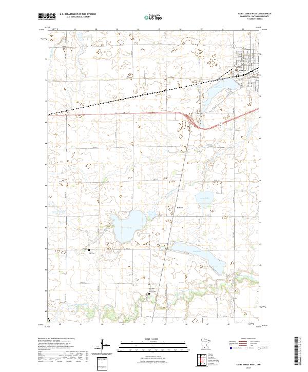 2022 Saint James West2022 Print · USGSWatonwan County, Minnesota, is shown here in the early twenty-first century as a landscape of established farmsteads and glacial lakes. Genealogists can trace family roots at Kansas Lake Cemetery or locate the Watonwan County Courthouse in the heart of St. James.
End of results
Showing maps 1-15 of 15
Top cities near St. James
- Saint James historical maps
- Madelia historical maps
- Truman historical maps
- Trimont historical maps
- Butterfield historical maps
- Hanska historical maps
See more
Top neighborhoods of St. James
Frequently asked questions
- What are the different types of historical maps available for St. James?
- What is the oldest map of St. James?
- Where can I purchase historical maps of St. James for my home or office?
- Where can I download high-res historical maps of St. James?
- Are there historical topographic maps available for St. James?
- Is there historical aerial imagery available for St. James?
- Where are historical maps of St. James sourced from?