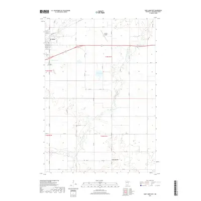
2019 Map of Saint James East
USGS Topo · Published 2019About this map
The settlement of St. James anchors the northwest corner of this agricultural landscape in Watonwan County, where the plains are bisected by the winding course of the S Fork Watonwan River. The area's local history is mapped through landmarks like Mount Hope Cem and the more secluded Sell-Lamb Cem, while the modern infrastructure of the St James Municipal Airport sits just east of the city.
Find a feature on this map
48 named features on this map. Tap any name to fly to it.
Don’t see what you’re looking for? This feature index may not catch every label — zoom into the map to look around manually.
Map Details
Editions of this 2019 Saint James East Map
This is the sole edition of this map. No revisions or reprints were ever made.
Other maps of this area

1953 · New Ulm
USGS Topo · 1:250,000

1954 · Fairmont
USGS Topo · 1:250,000

1957 · New Ulm
USGS Topo · 1:250,000

1958 · New Ulm
USGS Topo · 1:250,000

1958 · Fairmont
USGS Topo · 1:250,000

1965 · Madelia
USGS Topo · 1:24,000

1967 · New Ulm
USGS Topo · 1:250,000

1967 · Truman
USGS Topo · 1:24,000

1967 · Lewisville
USGS Topo · 1:24,000

1967 · Godahl
USGS Topo · 1:24,000