Old Maps of Corinna Township, Minnesota for Genealogy
Trace your family roots with 30 historic maps of Corinna Township. These high-res maps reveal old neighborhoods, homesites, landmarks, and streets — helping you uncover where your ancestors lived and how the area evolved over time.
- Explore historic neighborhoods: Identify where your relatives may have lived in the 1800s or 1900s.
- Compare maps over time: Trace the changes in streets, buildings, and landmarks for multi-generational research.
- Perfect for genealogy & ancestry research: Used by family historians and researchers to map out lineage and migration.
These maps are an incredible resource for exploring your personal connection to Corinna Township's past.
Corinna Township, MN maps
(30)- 1951 Map of Annandale, 1953 Print
 1951 Annandale1953 Print · USGSCentral Minnesota's lake country is captured here in the early fifties, showing the rural communities of Wright and Stearns Counties. Researchers can locate numerous family landmarks, from Silver Creek Ch to numbered schoolhouses and Bungalow Island on Clearwater Lake.2 unique versions available
 - 1953 Map of Saint Cloud, 1968 Print
 1953 Saint Cloud1968 Print · USGSCentral Minnesota's lake country and the Mississippi River valley are caught in a period of steady mid-century growth. Researchers can trace historic rail lines, old granite works, and local landmarks like St. Johns University, Camp Ripley, and the shores of Lake Minnewaska.3 unique versions available
 - 1957 Map of Saint Cloud
 1957 Saint Cloud1957 Print · USGSCentral Minnesota's lake country and rail corridors are meticulously detailed in the mid-1950s. Genealogists and researchers can trace the growth of towns like Alexandria, Willmar, and Saint Cloud along the Great Northern railroad line.
 - 1958 Map of Saint Cloud
 1958 Saint Cloud1958 Print · USGSCentral Minnesota in the mid-1950s shows a landscape of growing regional hubs and hundreds of glacial lakes connected by an extensive rail network. Genealogists and historians can trace the early footprints of Saint Cloud, Alexandria, and Willmar along the Great Northern Railway.
 - 1958 Map of Cokato, 1959 Print
 1958 Cokato1959 Print · USGSWright County at the end of the fifties is a landscape of established rail towns and rural parishes. Genealogists can trace family footprints through numerous small institutions like the Finnish Ch, Cokato Cem, and Ojampera Sch.2 unique versions available
 - 1974 Map of Annandale, 1976 Print
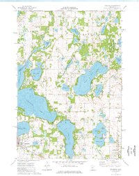 1974 Annandale1976 Print · USGSThe lake country of central Minnesota flourished in the 1970s as a hub for both industry and recreation. Genealogists and historians can trace the Soo Line rail corridor through Annandale or locate family sites at Woodlawn Cem and St Marks Ch.
 - 1974 Map of South Haven, 1976 Print
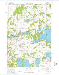 1974 South Haven1976 Print · USGSThe lake-dotted border of Stearns and Wright counties comes into focus in the mid-seventies, showing the vital role of the SOO LINE railroad. Family historians can trace local roots through Zion Cem, Fairhaven, and St Johns Cem near Annandale.
 - 1982 Map of Albion Center
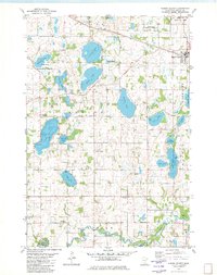 1982 Albion Center1982 Print · USGSWright County’s lake country is captured here in the early eighties, showcasing a landscape of small farmsteads and conservation areas. Researchers can locate family sites near Alamaa Cem, the Soo Line rail corridor, or the banks of the North Fork Crow River.
 - 1982 Map of French Lake
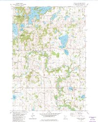 1982 French Lake1982 Print · USGSWright County is revealed in the early 1980s as a region of winding river valleys and quiet lakefronts. Genealogists and local researchers can locate numerous historic burial sites and rural parishes such as National Cem, Our Savior Ch, and North Crow River Ch.
 - 1986 Map of Litchfield
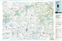 1986 Litchfield1986 Print · USGSCentral Minnesota in the mid-eighties was a landscape of conservation and transport, where the Burlington Northern rail line connected thriving lake towns. Genealogists and historians can trace old townships and landmarks like St Nicholas, Forest City, and School House Lake.2 unique versions available
 - 2010 Map of South Haven, 2010 Print
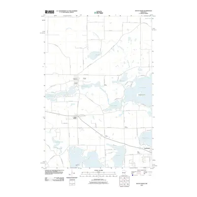 2010 South Haven2010 Print · USGSWright County's lake-rich landscape is captured in the early twenty-first century, showing the established communities of South Haven and Annandale. Genealogists can locate several burial grounds like Union Cemetery and landmarks such as the Fairhaven Dam.
 - 2010 Map of Annandale, 2010 Print
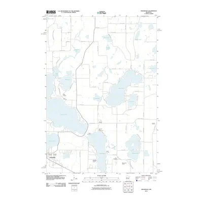 2010 Annandale2010 Print · USGSThe lake country around Annandale is captured here in the early 2000s, showing a landscape of seasonal retreats and rural homesteads. Trace family roots at Woodlawn Cemetery or Corinna Cemetery, and locate landmarks like the Cedar Lake Dam and Mavencamp Airport.
 - 2010 Map of Albion Center, 2010 Print
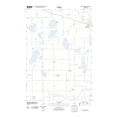 2010 Albion Center2010 Print · USGSWright County at the start of the 2010s shows a landscape of deep-rooted rural communities and numerous glacial basins. Researchers can trace local heritage through sites like Mount Herman Cemetery, Albion Center, and the Centerville Lake Seaplane Base.
 - 2010 Map of French Lake, 2010 Print
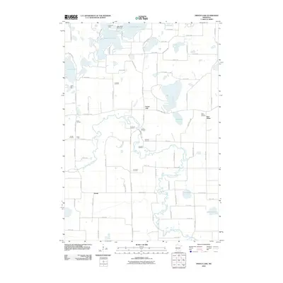 2010 French Lake2010 Print · USGSWright County at the end of the first decade of the 2000s shows a landscape of deep-set glacial lakes and winding river bends. Genealogists can trace a wealth of local burial sites including National Cemetery, Our Savior Cemetery, and Riverside Cemetery.
 - 2013 Map of Albion Center, 2013 Print
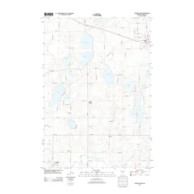 2013 Albion Center2013 Print · USGSWright County’s lake-studded countryside is captured here in the early twenty-first century, showing the enduring rural character of central Minnesota. Researchers can locate numerous historic burial sites like Mt Herman Cem and Bethlehem Cem or trace the North Fork Crow River near Albright.
 - 2013 Map of South Haven, 2013 Print
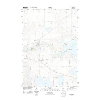 2013 South Haven2013 Print · USGSThe lakeside communities of Wright and Stearns counties are captured here in the early twenty-first century. Researchers can locate family heritage sites like Saint Johns Cem and Grace Cem or trace the early layouts of South Haven and Fairhaven.
 - 2013 Map of Annandale, 2013 Print
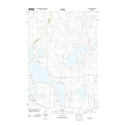 2013 Annandale2013 Print · USGSThe lakeside community of Annandale and the surrounding Wright County township are captured here during a period of established recreation and rural growth. Genealogists and local historians can locate Woodlawn Cemetery, Corinna Cemetery, and storied local landmarks like Camp Friendship or Camp Courage.
 - 2013 Map of French Lake, 2013 Print
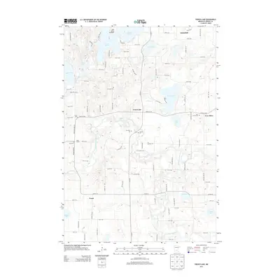 2013 French Lake2013 Print · USGSWright County’s rural crossroads and lakeside settlements are documented here during the early twenty-first century. Genealogists can trace family footprints through numerous small burial grounds such as Saint Ignatius Cem, Riverside Cem, and Crow River Cem.
 - 2016 Map of Albion Center, 2016 Print
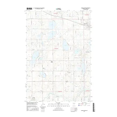 2016 Albion Center2016 Print · USGSWright County’s lake-dotted countryside is captured here in the mid-2010s, showing the agricultural lands surrounding Albion Center. Genealogists can trace local family roots at several burial sites like Alamaa Cem, Bethlehem Cem, and Mount Herman Cem.
 - 2016 Map of Annandale, 2016 Print
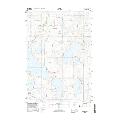 2016 Annandale2016 Print · USGSThe lakeside community of Annandale and its surrounding waters are captured here in the mid-2010s, showcasing a landscape of interconnected basins and rural settlements. Genealogists and historians can trace the locations of Woodlawn Cem, Corinna Cem, and Saint Mark's Cem amidst the shores of Clearwater Lake and Sugar Lake.
 - 2016 Map of French Lake, 2016 Print
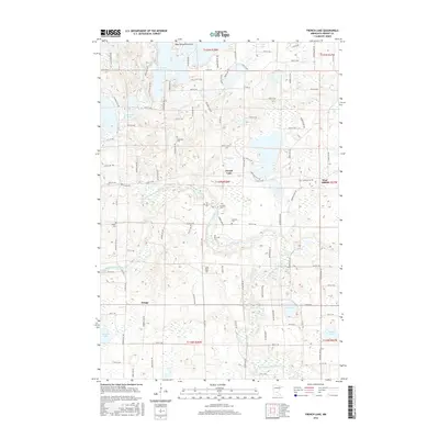 2016 French Lake2016 Print · USGSWright County at the midpoint of the 2010s reveals a quiet landscape of river bends and rural intersections. Researchers can trace local heritage through numerous burial sites like Saint Ignatius Cem and the small settlements of West Albion and Knapp.
 - 2016 Map of South Haven, 2016 Print
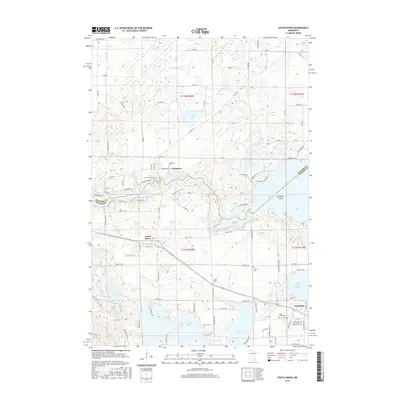 2016 South Haven2016 Print · USGSThe lake-dotted border of Stearns and Wright counties comes into focus in this mid-2010s survey of the Minnesota lake country. Genealogists and local historians can trace the Soo Line corridor between South Haven and Annandale, or locate rural burial grounds like Union Cem and Grace Cem.
 - 2019 Map of Annandale, 2019 Print
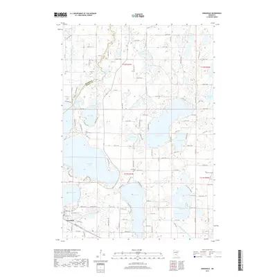 2019 Annandale2019 Print · USGSAnnandale and its surrounding lake country are captured in this recent survey, showcasing a landscape of dense glacial basins and rural townships. Researchers can locate established burial sites like Woodlawn Cem and Saint Mark's Cem or trace the drainage of County Ditch Number Thirtyone.
 - 2019 Map of French Lake, 2019 Print
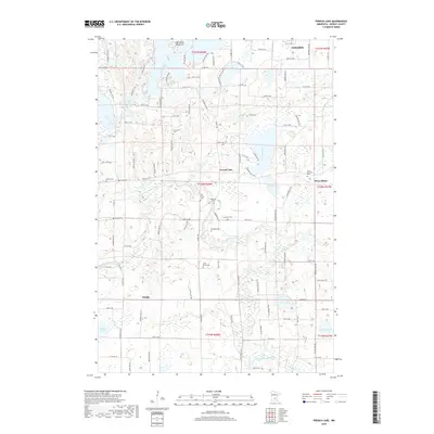 2019 French Lake2019 Print · USGSWright County farmland and glacial lakes characterize this region during the early twenty-first century. Genealogists can trace family heritage through numerous rural burial grounds such as Immanuel Cem, Riverside Cem, and Crow River Cem.
 - 2019 Map of Albion Center, 2019 Print
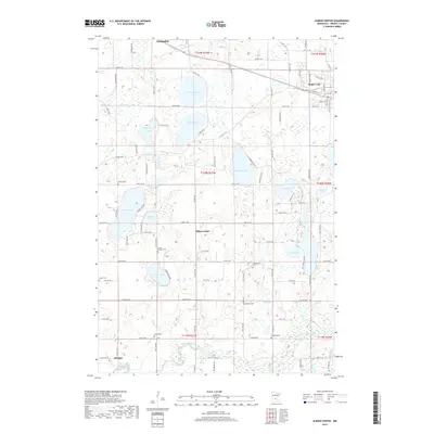 2019 Albion Center2019 Print · USGSWright County farmland and glacial lakes define this area of central Minnesota in the late 2010s. Genealogists can locate several rural burial grounds like Sylvan Cem and Alamaa Cem alongside the waters of Granite Lake and Henshaw Lake.
Showing maps 1-25 of 30
Top cities near Corinna Township
- St. Cloud historical maps
- Buffalo historical maps
- Monticello historical maps
- Becker historical maps
- Saint Augusta historical maps
- Annandale historical maps
See more
Frequently asked questions
- What are the different types of historical maps available for Corinna Township?
- What is the oldest map of Corinna Township?
- Where can I purchase historical maps of Corinna Township for my home or office?
- Where can I download high-res historical maps of Corinna Township?
- Are there historical topographic maps available for Corinna Township?
- Is there historical aerial imagery available for Corinna Township?
- Where are historical maps of Corinna Township sourced from?