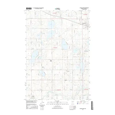
2016 Map of Albion Center
USGS Topo · Published 2016About this map
Glacial lakes and rural farmsteads define this portion of Wright County, where Albion Center serves as a central point for the surrounding agricultural community. The landscape is densely pockmarked by water bodies of various sizes, including the significant Albion Lake, Swartout Lake, and Henshaw Lake. To the north, the growing community of Maple Lake is visible, established along the transit corridor of Highway 55.
Find a feature on this map
58 named features on this map. Tap any name to fly to it.
Don’t see what you’re looking for? This feature index may not catch every label — zoom into the map to look around manually.
Map Details
Editions of this 2016 Albion Center Map
This is the sole edition of this map. No revisions or reprints were ever made.
Other maps of this area

1951 · Annandale
USGS Topo · 1:62,500

1953 · Saint Cloud
USGS Topo · 1:250,000

1953 · Stillwater
USGS Topo · 1:250,000

1955 · Stillwater
USGS Topo · 1:250,000

1957 · Saint Cloud
USGS Topo · 1:250,000

1958 · Stillwater
USGS Topo · 1:250,000

1958 · Saint Cloud
USGS Topo · 1:250,000

1958 · Buffalo
USGS Topo · 1:62,500

1958 · Cokato
USGS Topo · 1:62,500

1961 · Silver Creek
USGS Topo · 1:24,000
Featured Places
- Maple Lake, MN
- Albright, MN
- Maple Lake Mobile Home Park, Maple Lake
- Corinna Township, MN
- Maple Lake Township, MN