2000s (21st Century) Maps of Attala County, Mississippi
Explore 105 historic maps of Attala County from the 2000s (21st Century). These maps offer a rare glimpse into what life looked like during the 2000s — showing old roads, neighborhoods, homes, and landmarks that have changed or disappeared over time.
Whether you're researching your family's past, planning a metal detecting trip, or studying how Attala County's landscape evolved across the 2000s, these high-resolution maps are a powerful tool for exploring the history of this region.
- Focus on a specific era: All maps on this page are from the 2000s, giving you a focused view of this time period.
- See what’s changed: Compare century-old streets, trails, and buildings to today's modern landscape using overlays and satellite layers.
- Research with precision: Use these maps for genealogy, historical research, land use analysis, or educational projects.
- View, download, or print: Maps are fully viewable online in high resolution, and can be downloaded or printed for your own records.
Start exploring Attala County's history through authentic maps from the 2000s. This is your window into the past.
Attala County, MS maps
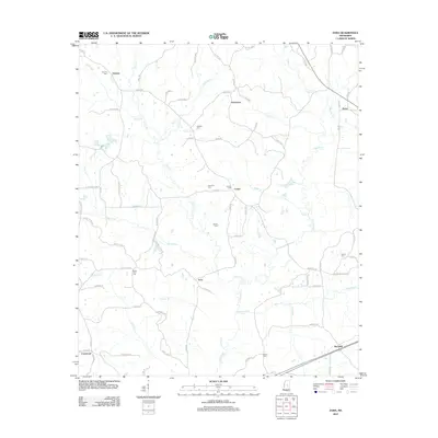
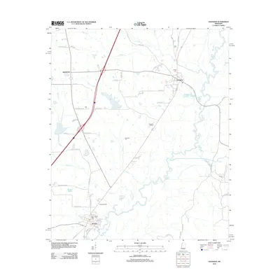
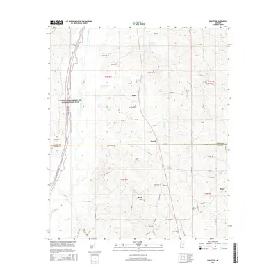
(105)- 2012 Map of Vaiden, 2012 Print
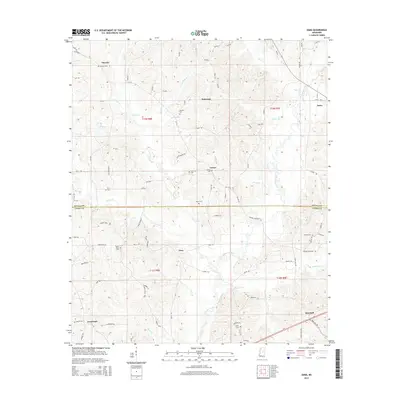
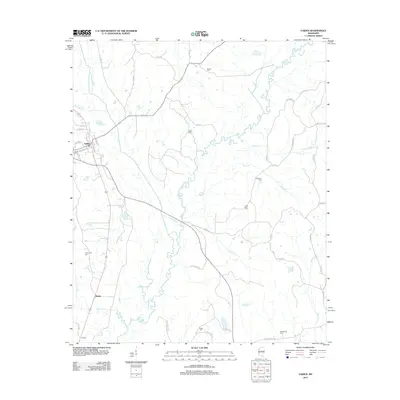 2012 Vaiden2012 Print · USGSCovers Attala County, including Vaiden, Beatty, and other nearby areas
 - 2012 Map of Ethel North, 2012 Print
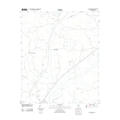 2012 Ethel North2012 Print · USGSCovers Attala County, including Ethel, Liberty Chapel, and other nearby areas
 - 2012 Map of Weir, 2012 Print
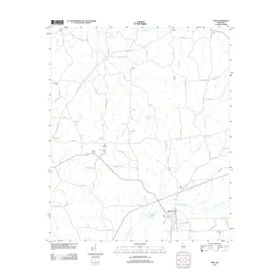 2012 Weir2012 Print · USGSCovers Attala County, including Weir, Choctaw County, and other nearby areas
 - 2012 Map of Joseph, 2012 Print
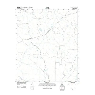 2012 Joseph2012 Print · USGSCovers Attala County, including Bolatusha, Joseph, and other nearby areas
 - 2012 Map of Zama, 2012 Print
 2012 Zama2012 Print · USGSCovers Attala County, including Gray, Center, and other nearby areas
 - 2012 Map of Durant, 2012 Print
 2012 Durant2012 Print · USGSCovers Attala County, including Durant, Sallis, and other nearby areas
 - 2012 Map of Owens Wells, 2012 Print
 2012 Owens Wells2012 Print · USGSCovers Attala County, including West Hill, Owens Wells, and other nearby areas
 - 2012 Map of Kosciusko, 2012 Print
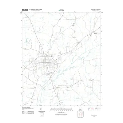 2012 Kosciusko2012 Print · USGSCovers Attala County, including Kosciusko, Dodds, and other nearby areas
 - 2012 Map of Hesterville, 2012 Print
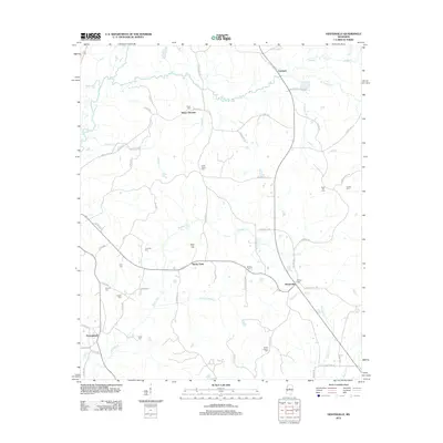 2012 Hesterville2012 Print · USGSCovers Attala County, including Carmack, Possumneck, and other nearby areas
 - 2012 Map of Poplar Creek, 2012 Print
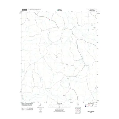 2012 Poplar Creek2012 Print · USGSCovers Attala County, including Poplar Creek, Montgomery County, and other nearby areas
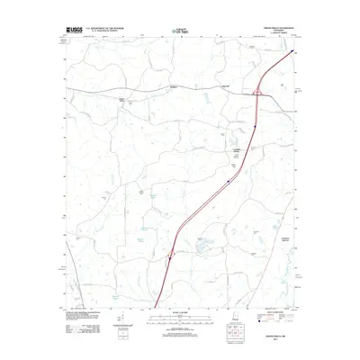
 - 2012 Map of French Camp, 2012 Print
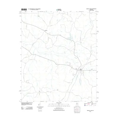 2012 French Camp2012 Print · USGSCovers Attala County, including French Camp, Huntsville, and other nearby areas
 - 2012 Map of Ethel South, 2012 Print
 2012 Ethel South2012 Print · USGSCovers Attala County, including Ethel, Providence, and other nearby areas
 - 2012 Map of Ethel SE, 2012 Print
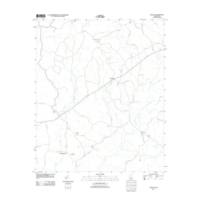 2012 Ethel SE2012 Print · USGSCovers Attala County, including Rural Hill, East Macedonia, and other nearby areas
 - 2012 Map of McCool, 2012 Print
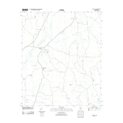 2012 McCool2012 Print · USGSCovers Attala County, including McCool, Bowies Chapel, and other nearby areas
 - 2012 Map of Kosciusko NE, 2012 Print
 2012 Kosciusko NE2012 Print · USGSCovers Attala County, including Pierces Chapel, Shady Grove, and other nearby areas
 - 2012 Map of West, 2012 Print
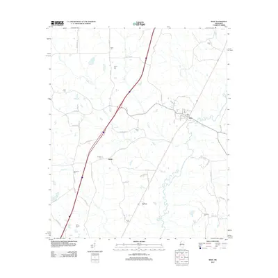 2012 West2012 Print · USGSCovers Attala County, including West, Edsville, and other nearby areas
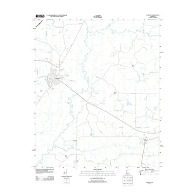
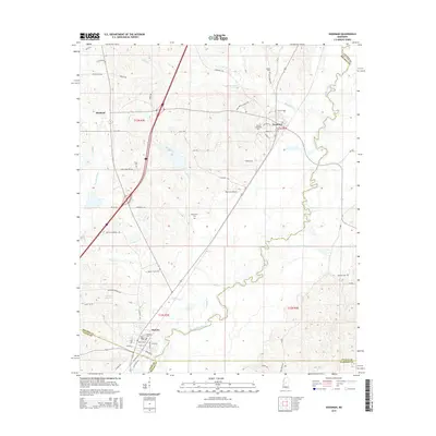
 - 2012 Map of Goodman, 2012 Print
 2012 Goodman2012 Print · USGSCovers Attala County, including Pickens, Goodman, and other nearby areas
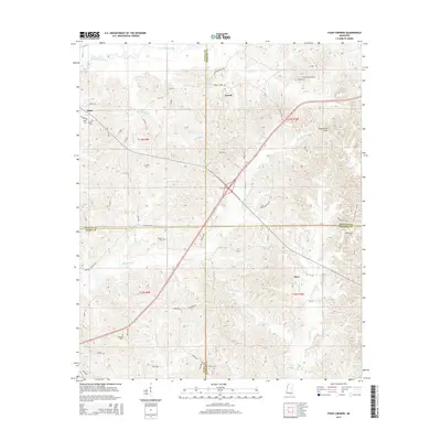
 - 2012 Map of Four Corners, 2012 Print
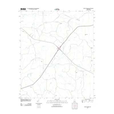 2012 Four Corners2012 Print · USGSCovers Attala County, including Vowell, Alice, and other nearby areas
 - 2012 Map of Singleton, 2012 Print
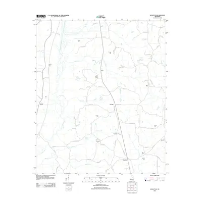 2012 Singleton2012 Print · USGSCovers Attala County, including Nile, Singleton, and other nearby areas
 - 2012 Map of McAdams, 2012 Print
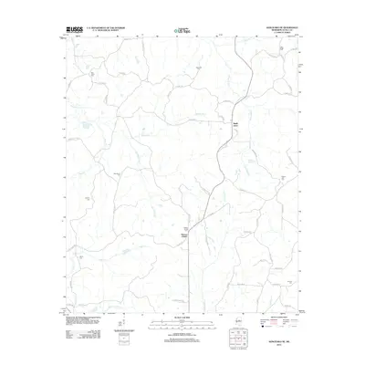
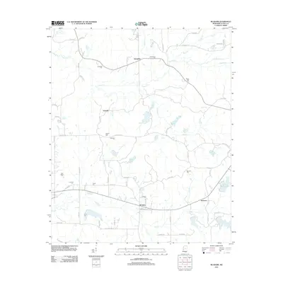 2012 McAdams2012 Print · USGSCovers Attala County, including Earlyville, Hurricane, and other nearby areas
 - 2012 Map of Newport, 2012 Print
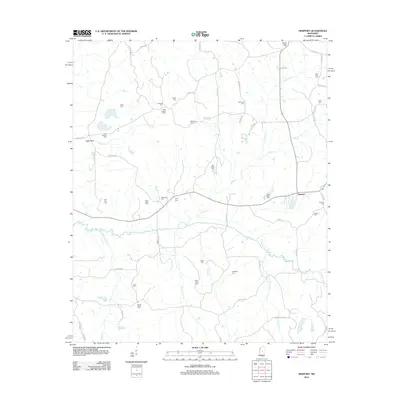 2012 Newport2012 Print · USGSCovers Attala County, including Newport, Madison County, and other nearby areas
 - 2015 Map of Goodman, 2015 Print
 2015 Goodman2015 Print · USGSCovers Attala County, including Pickens, Goodman, and other nearby areas
 - 2015 Map of Four Corners, 2015 Print
 2015 Four Corners2015 Print · USGSCovers Attala County, including Vowell, Alice, and other nearby areas
 - 2015 Map of Singleton, 2015 Print
 2015 Singleton2015 Print · USGSCovers Attala County, including Nile, Singleton, and other nearby areas
 - 2015 Map of Zama, 2015 Print
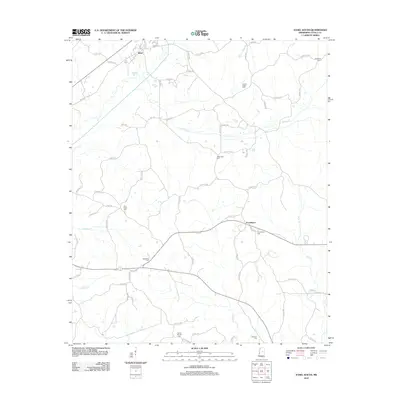
 2015 Zama2015 Print · USGSCovers Attala County, including Gray, Center, and other nearby areas
Showing maps 1-25 of 105
Top cities of Attala County
Frequently asked questions
- What are the different types of historical maps available for Attala County?
- What is the oldest map of Attala County?
- Where can I purchase historical maps of Attala County for my home or office?
- Where can I download high-res historical maps of Attala County?
- Are there historical topographic maps available for Attala County?
- Is there historical aerial imagery available for Attala County?
- Where are historical maps of Attala County sourced from?