2010s Maps of Attala County, Mississippi
Explore 63 historic maps of Attala County from the 2010s. These maps offer a rare glimpse into what life looked like during the 2010s — showing old roads, neighborhoods, homes, and landmarks that have changed or disappeared over time.
Whether you're researching your family's past, planning a metal detecting trip, or studying how Attala County's landscape evolved across the 2010s, these high-resolution maps are a powerful tool for exploring the history of this region.
- Focus on a specific era: All maps on this page are from the 2010s, giving you a focused view of this time period.
- See what’s changed: Compare century-old streets, trails, and buildings to today's modern landscape using overlays and satellite layers.
- Research with precision: Use these maps for genealogy, historical research, land use analysis, or educational projects.
- View, download, or print: Maps are fully viewable online in high resolution, and can be downloaded or printed for your own records.
Start exploring Attala County's history through authentic maps from the 2010s. This is your window into the past.
Attala County, MS maps
(63)- 2012 Map of Vaiden, 2012 Print
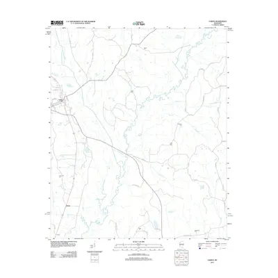 2012 Vaiden2012 Print · USGSVaiden and its surrounding Carroll County countryside are captured here in the early twenty-first century as rural life follows the winding paths of the Big Black River. Researchers can trace old family sites and burial grounds like Old Plank Cem, Shiloh Cem, and the small community of Beatty.
 - 2012 Map of Ethel North, 2012 Print
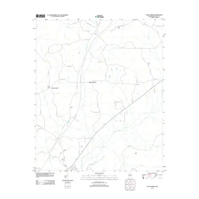 2012 Ethel North2012 Print · USGSAttala County in the early 2010s remains a landscape of quiet rural communities and historic transit corridors. Genealogists and historians can trace numerous family burial sites like Stonewall Cem and Hannah Cem along the winding Yockanookany River.
 - 2012 Map of Weir, 2012 Print
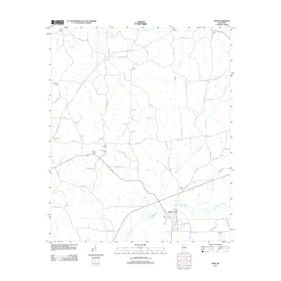 2012 Weir2012 Print · USGSThe rural community of Weir and its surrounding Choctaw County farmsteads are documented here in the early twenty-first century. Researchers can locate numerous local burial sites like Weir Chapel Cem and Bethlehem Cem, or trace landmarks such as the Weir Lookout Tower.
 - 2012 Map of Joseph, 2012 Print
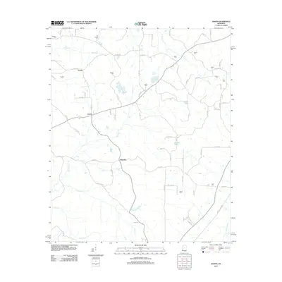 2012 Joseph2012 Print · USGSLeake County is captured here in the early twenty-first century, showing a rural landscape of winding roads and family settlements. Genealogists can trace family names through numerous burial sites like Nash Cem, Jenkins Cem, and Samarra Cem.
 - 2012 Map of Zama, 2012 Print
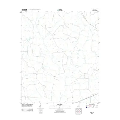 2012 Zama2012 Print · USGSLeake County is documented here in the early twenty-first century, showing a rural landscape defined by creek valleys and small crossroads. Researchers can trace family roots through numerous sites like Antioch Cem, Shield Cem, and the village of Zama.
 - 2012 Map of Durant, 2012 Print
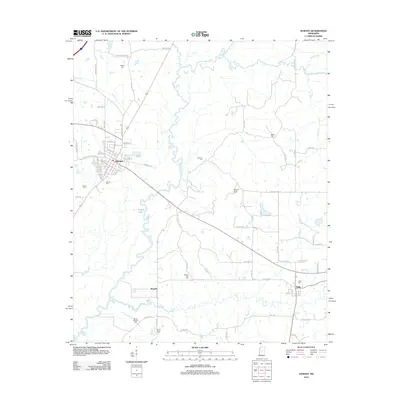 2012 Durant2012 Print · USGSHolmes County at the start of the 2010s shows a landscape of river-bottom lands and quiet rural settlements. Genealogists can trace family heritage through numerous burial grounds like Bunker Hill Cem, Bowlin Cem, and Sallis Cem.
 - 2012 Map of Owens Wells, 2012 Print
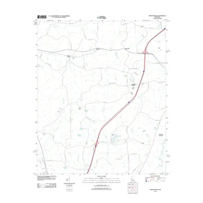 2012 Owens Wells2012 Print · USGSHolmes County in the early twenty-first century remains a landscape of historic springs and family burial grounds. Genealogists can trace rural family plots at Barksdale Cem and Macedonia Cem or explore the sites of Owens Wells and Castalian Springs.
 - 2012 Map of Kosciusko, 2012 Print
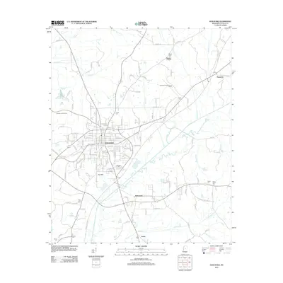 2012 Kosciusko2012 Print · USGSKosciusko and its central Mississippi surroundings are captured here just after the first decade of the millennium. Researchers can trace family roots through many rural burial grounds, including Marvin Chapel Cem and Dodd Cem, or locate landmarks like Marvins Chapel.
 - 2012 Map of Hesterville, 2012 Print
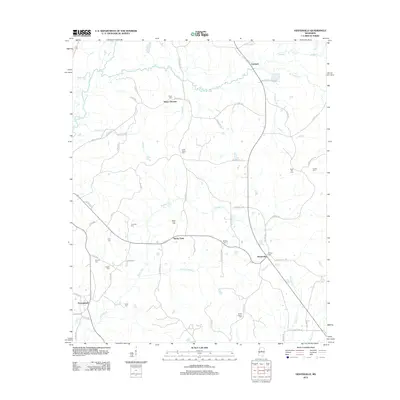 2012 Hesterville2012 Print · USGSAttala County, Mississippi, in the early 21st century remains a landscape of quiet crossroads and historic burial grounds. Genealogists can trace family names at Mayo Cem, Thornton Cem, and Brister Cem near the hamlet of Rocky Point.
 - 2012 Map of Poplar Creek, 2012 Print
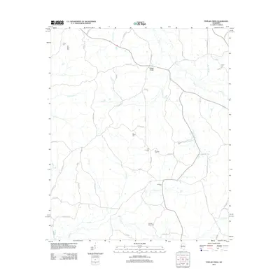 2012 Poplar Creek2012 Print · USGSPoplar Creek in the early 2010s remains a landscape defined by its rural cemeteries and the winding tributaries of the Big Black River watershed. Genealogists can locate family burial sites at Joe Walker Cem, Old Pine Bluff Cem, and Shiloh Cem.
 - 2012 Map of French Camp, 2012 Print
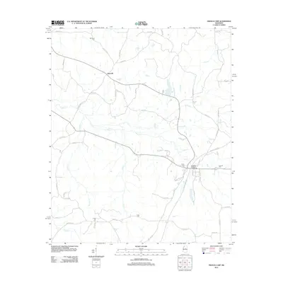 2012 French Camp2012 Print · USGSMississippi's Choctaw County is shown here in the early twenty-first century, centered on the historic community of French Camp. Genealogists and local historians can trace family locations through Chapel Hill Cem, Eades Cem, and the path of Old Trace Rd.
 - 2012 Map of Ethel South, 2012 Print
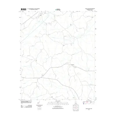 2012 Ethel South2012 Print · USGSAttala County at the start of the 2010s remains a landscape of quiet rural communities and deep-rooted family history. Genealogists can trace local legacies at numerous burial grounds, including Mount Moriah Cem, Tabernacle Cem, and Breazeale Cem.
 - 2012 Map of Ethel SE, 2012 Print
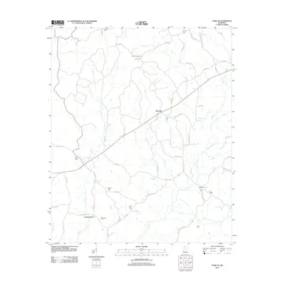 2012 Ethel SE2012 Print · USGSCentral Mississippi's rural character is preserved in this 2012 survey of the Winston County countryside. Genealogists can trace family burial sites at Rural Hill Cem and Nebo Cem or locate the McCool Lookout Tower near Hinze.
 - 2012 Map of McCool, 2012 Print
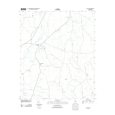 2012 McCool2012 Print · USGSMcCool and the surrounding Attala County countryside are captured here in the early twenty-first century, showcasing a landscape defined by the Yockanookany River. Genealogists can trace family footprints across numerous local sites including Old Bowie Cem, Mount Zion Cem, and Bowies Chapel.
 - 2012 Map of Kosciusko NE, 2012 Print
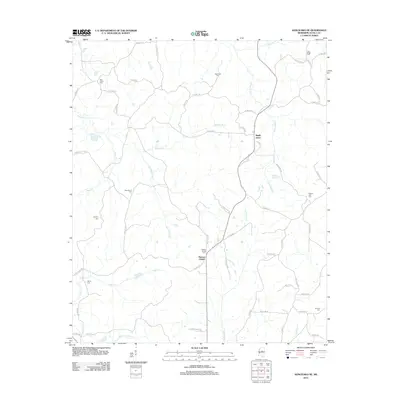 2012 Kosciusko NE2012 Print · USGSAttala County at the start of the 2010s is a landscape of creek-side settlements and family histories. Genealogists can trace rural roots through numerous sites like Pierces Chapel, Pilgrim Rest Cem, and Newhope Cem.
 - 2012 Map of West, 2012 Print
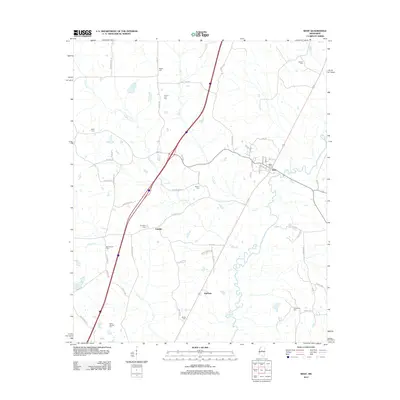 2012 West2012 Print · USGSCentral Mississippi in the early 2010s reveals a landscape where the Big Black River winds past small settlements like West and Edsville. Researchers can locate numerous family burial sites, including Wilks Cem, Whelin Cem, and Armstrong Cem.
 - 2012 Map of Goodman, 2012 Print
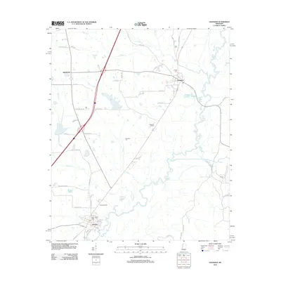 2012 Goodman2012 Print · USGSMississippi river towns and rural cemeteries are documented in this 2012 survey of Holmes County. Genealogists can trace family roots through Hillcrest Cem, Pickens Cem, and Quiet Ridge Cem along the Big Black River.
 - 2012 Map of Four Corners, 2012 Print
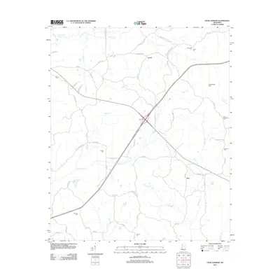 2012 Four Corners2012 Print · USGSWinston County, Mississippi, is mapped here in the early twenty-first century, showing a landscape defined by creeks and timbered hills. Genealogists and local historians can pinpoint several rural cemeteries like Rattletrap Cem and Shields Cem or locate the Mars Hill Lookout Tower.
 - 2012 Map of Singleton, 2012 Print
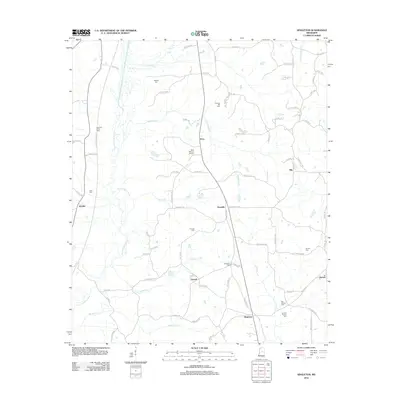 2012 Singleton2012 Print · USGSAttala County at the start of the 2010s reveals a landscape of family-run farms and traditional crossroads communities. Genealogists can trace deep local roots at Fletchers Xing or locate specific burial sites like Singleton Cem and Turnage Cem.
 - 2012 Map of McAdams, 2012 Print
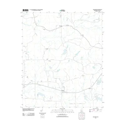 2012 McAdams2012 Print · USGSAttala County is documented here in the early twenty-first century, showing a landscape of small crossroads and family cemeteries. Genealogists can locate numerous burial sites such as Bethlehem Cem and Brown Cem, while tracing the waters of Apookta Cr.
 - 2012 Map of Newport, 2012 Print
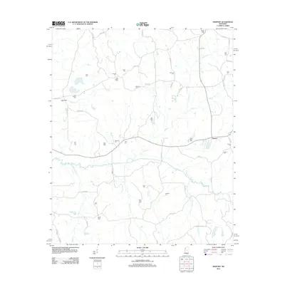 2012 Newport2012 Print · USGSAttala County at the start of the 2010s reveals a deeply rooted rural landscape centered on the Newport community. Genealogists can trace dozens of family landmarks across the terrain, from Sallis Lookout Tower to Old Roby Cem and Harmonia Cem.
 - 2015 Map of Goodman, 2015 Print
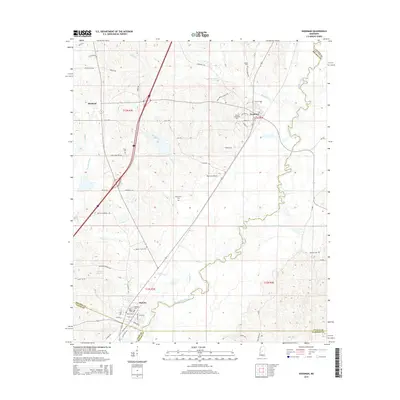 2015 Goodman2015 Print · USGSHolmes County in the mid-2010s reveals a landscape defined by the winding Big Black River and its rural settlements. Genealogists can trace family connections through numerous sites like Moore Family Cem, Quiet Ridge Cem, and the streets of Pickens.
 - 2015 Map of Four Corners, 2015 Print
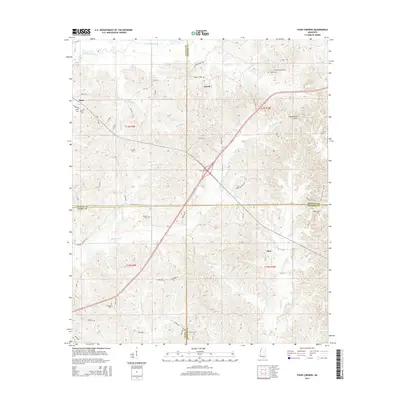 2015 Four Corners2015 Print · USGSThe rural interior of Mississippi comes into focus here at the meeting point of Attala, Winston, Leake, and Neshoba counties. Researchers can trace family roots through several local cemeteries including Ebenezer Cem, Sullivan Cem, and the oddly named Rattletrap Cem.
 - 2015 Map of Singleton, 2015 Print
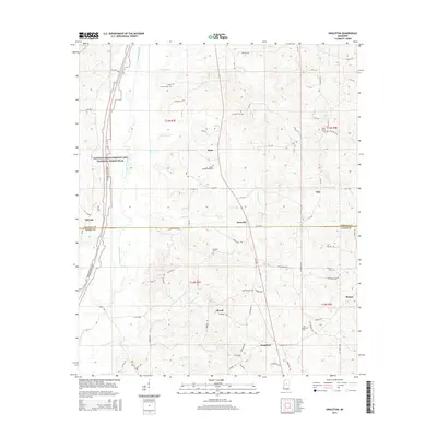 2015 Singleton2015 Print · USGSCentral Mississippi's river bottomlands and rural crossroads are captured here in the mid-2010s, tracing the line between Attala and Leake counties. Researchers can locate numerous local landmarks like Fletcher Cem, Fletchers Xing, and the Yockanookany River.
 - 2015 Map of Zama, 2015 Print
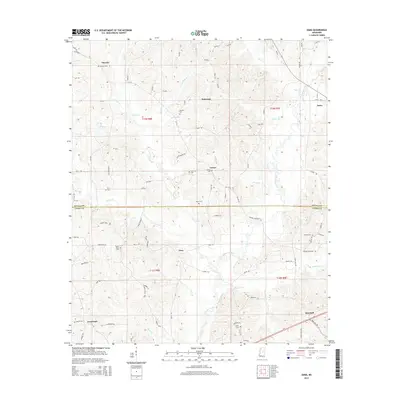 2015 Zama2015 Print · USGSThe rural borderlands of Attala and Leake Counties are captured here in the mid-2010s, showing a landscape of creek-fed valleys and small crossroads. Genealogists can locate several family and community burial sites, including Antioch Cem, Shield Cem, and Patterson Cem.
Showing maps 1-25 of 63
Top cities of Attala County
Frequently asked questions
- What are the different types of historical maps available for Attala County?
- What is the oldest map of Attala County?
- Where can I purchase historical maps of Attala County for my home or office?
- Where can I download high-res historical maps of Attala County?
- Are there historical topographic maps available for Attala County?
- Is there historical aerial imagery available for Attala County?
- Where are historical maps of Attala County sourced from?