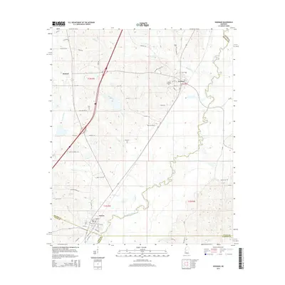
2015 Map of Goodman
USGS Topo · Published 2015About this map
The Big Black River meanders across this landscape, forming the natural boundary between Holmes and Madison counties as it flows past the town of Pickens. This area exhibits a dense concentration of local genealogical landmarks, particularly family and community burial grounds such as the Moore Family Cem, Falls Cem, and Mitchell Cem. In the northeastern portion of the sheet, the town of Goodman serves as a local educational hub, anchored by the Holmes Community College campus. The transportation network is defined by the intersection of rail lines and major thoroughfares that parallel the river's course, connecting these agricultural and college communities. Notable small-scale aviation history is marked by the presence of Peterson Airport, while various tributaries like Seneasha Creek and Mills Creek drain the surrounding fields into the primary river valley.
Find a feature on this map
68 named features on this map. Tap any name to fly to it.
Don’t see what you’re looking for? This feature index may not catch every label — zoom into the map to look around manually.
Map Details
Editions of this 2015 Goodman Map
This is the sole edition of this map. No revisions or reprints were ever made.
Other maps of this area

1940 · Lexington
USGS Topo · 1:62,500

1953 · Meridian
USGS Topo · 1:250,000

1953 · Greenwood
USGS Topo · 1:250,000

1953 · West Point
USGS Topo · 1:250,000

1955 · Jackson
USGS Topo · 1:250,000

1956 · Greenwood
USGS Topo · 1:250,000

1957 · Meridian
USGS Topo · 1:250,000

1957 · Lexington
USGS Topo · 1:62,500

1958 · West Point
USGS Topo · 1:250,000

1958 · Lexington
USGS Topo · 1:62,500