1958 Map of Lexington
USGS Topo · Published 1958About this map
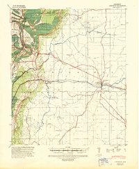
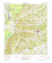
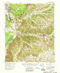
The county seat of Lexington anchors this 1950s study of central Holmes County, where the transition from the Mississippi Delta to the loess bluffs is clearly marked by the winding courses of Horseshoe Lake and Tchula Lake. Along the eastern edge of the Delta, the Illinois Central railroad corridor connects the rail hubs of Gwin and Tehula, serving an agricultural landscape defined by extensive drainage systems like Millstone Bayou. The interior hills reveal a deeply rooted rural society centered around integrated community sites such as Mt Olive Sch Ch & Cem and Hickory Springs Sch Ch & Cem. These combined church, school, and cemetery locations suggest the historic patterns of family settlement across the ridges and creek valleys, including Bophumpa Creek and Fannegusha Creek. The map also details early landmarks like Morgan Brake and the small settlements of Howard and Eulogy.
Find a feature on this map
90 named features on this map. Tap any name to fly to it.
Don’t see what you’re looking for? This feature index may not catch every label — zoom into the map to look around manually.
Map Details
Editions of this 1958 Lexington Map
This is the sole edition of this map. No revisions or reprints were ever made.
Historical Maps of Tchula Through Time
3 maps found