Old Maps of Ethel, Mississippi for Genealogy
Trace your family roots with 17 historic maps of Ethel. These high-res maps reveal old neighborhoods, homesites, landmarks, and streets — helping you uncover where your ancestors lived and how the area evolved over time.
- Explore historic neighborhoods: Identify where your relatives may have lived in the 1800s or 1900s.
- Compare maps over time: Trace the changes in streets, buildings, and landmarks for multi-generational research.
- Perfect for genealogy & ancestry research: Used by family historians and researchers to map out lineage and migration.
These maps are an incredible resource for exploring your personal connection to Ethel's past.
Ethel, MS maps
(17)- 1953 Map of West Point, 1973 Print
 1953 West Point1973 Print · USGSNorth-Central Mississippi and the Alabama borderlands are captured here during the mid-twentieth century as new reservoirs and national forests transformed the landscape. Researchers can trace the path of the Mississippi & Skuna Valley railroad or locate old landings along the Tombigbee River and Schooner Creek.3 unique versions available
 - 1958 Map of West Point
 1958 West Point1958 Print · USGSNortheastern Mississippi and western Alabama are shown in the late 1950s, highlighting a region defined by its river-and-rail economy. Researchers can trace family roots through numerous settlements like Artesia and Vardaman or explore the corridor of the Tombigbee River.
 - 1963 Map of West Point
 1963 West Point1963 Print · USGSEastern Mississippi and western Alabama are captured in the early sixties as industrial centers and rail lines connected the Black Prairie to the hills. Genealogists and historians can trace family-named watercourses and the early footprints of Starkville, Columbus, and the Noxubee National Wildlife Refuge.2 unique versions available
 - 1972 Map of Ethel North, 1973 Print
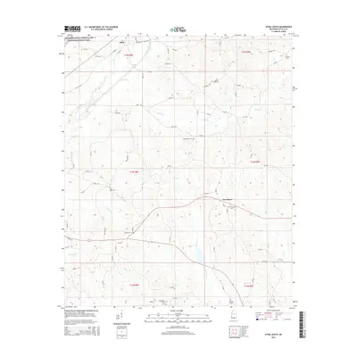
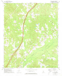 1972 Ethel North1973 Print · USGSAttala County, Mississippi, is shown here in the early seventies as the historic Natchez Trace Parkway bisected its rural landscape. Genealogists can locate family landmarks including Greenlee Sch, Carr Cem, and the town of Ethel.
 - 1972 Map of Ethel South, 1973 Print
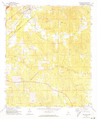 1972 Ethel South1973 Print · USGSAttala County rural life and industry are captured here in the early seventies, centered on the Illinois Central railroad. Researchers can locate several country churches and burial grounds like New Hope Ch Cem, Breazeale Cem, and Mt Moriah Ch.
 - 1984 Map of Kosciusko
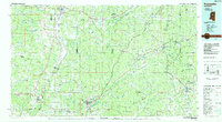 1984 Kosciusko1984 Print · USGSCentral Mississippi in the mid-eighties shows a landscape of timberlands and rural crossroads anchored by Kosciusko. Genealogists can trace family roots through numerous country parishes like Bethany Ch and Zion Ch or the path of the Illinois Central Gulf railroad.3 unique versions available
 - 1984 Map of West Point
 1984 West Point1984 Print · USGSNorth-Central Mississippi in the mid-eighties shows a landscape defined by massive water management projects and dense timberlands. Researchers can trace the legacy of rural settlements like Geeslin Corner or the rail corridors of the Illinois Central Gulf RR near Grenada Lake.3 unique versions available
 - 2012 Map of Ethel North, 2012 Print
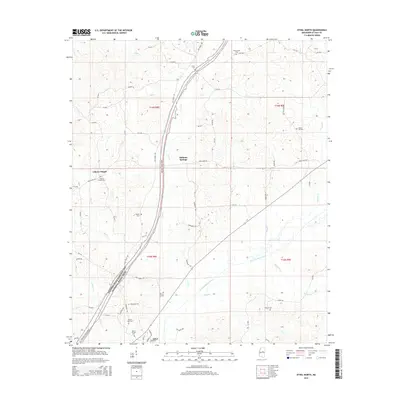
 2012 Ethel North2012 Print · USGSCovers Ethel, including Liberty Chapel, Multona Springs, and other nearby areas
 - 2012 Map of Ethel South, 2012 Print
 2012 Ethel South2012 Print · USGSCovers Ethel, including Providence, Attala County, and other nearby areas
 - 2015 Map of Ethel South, 2015 Print
 2015 Ethel South2015 Print · USGSCovers Ethel, including Providence, Attala County, and other nearby areas
 - 2015 Map of Ethel North, 2015 Print
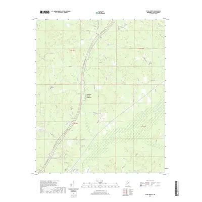
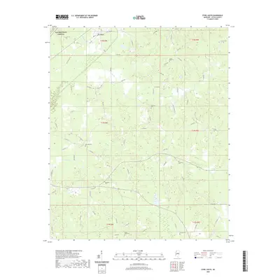
 2015 Ethel North2015 Print · USGSCovers Ethel, including Liberty Chapel, Multona Springs, and other nearby areas
 - 2018 Map of Ethel North, 2018 Print
 2018 Ethel North2018 Print · USGSCovers Ethel, including Liberty Chapel, Multona Springs, and other nearby areas
 - 2018 Map of Ethel South, 2018 Print
 2018 Ethel South2018 Print · USGSCovers Ethel, including Providence, Attala County, and other nearby areas
 - 2020 Map of Ethel North, 2020 Print
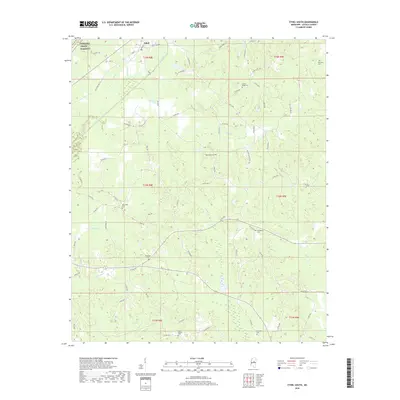
 2020 Ethel North2020 Print · USGSCovers Ethel, including Liberty Chapel, Multona Springs, and other nearby areas
 - 2020 Map of Ethel South, 2020 Print
 2020 Ethel South2020 Print · USGSCovers Ethel, including Providence, Attala County, and other nearby areas
 - 2024 Map of Ethel South, 2024 Print
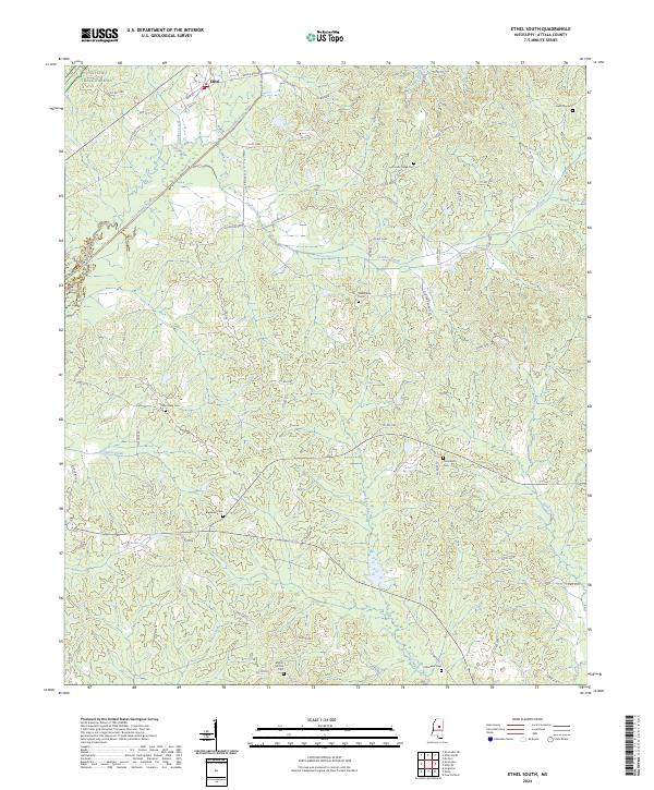 2024 Ethel South2024 Print · USGSAttala County is captured here in the mid-2020s, showing the rural communities surrounding Ethel. Local historians can trace numerous family burial grounds, including Tabernacle Cem and Mount Moriah Cem, along the banks of the Yockanookany River.
 - 2024 Map of Ethel North, 2024 Print
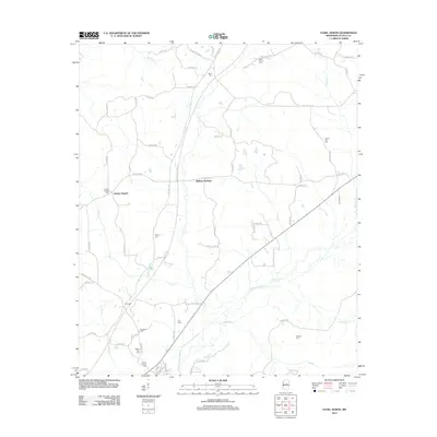
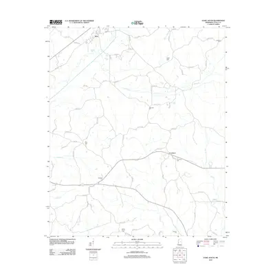
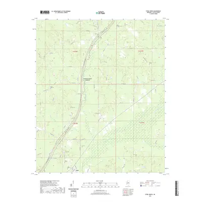
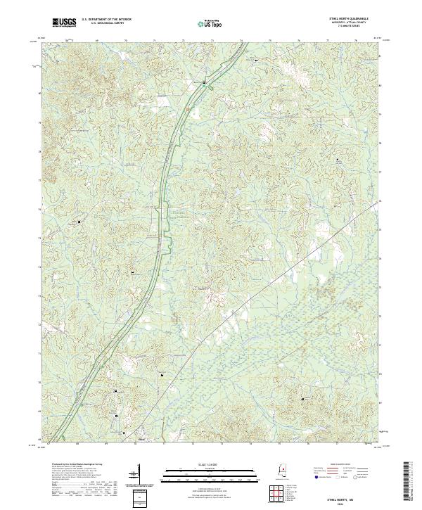 2024 Ethel North2024 Print · USGSAttala County is documented here in its contemporary rural state, where the Yockanookany River basin meets the historic Natchez Trace corridor. Researchers can locate numerous family burial sites and old landmarks like Mount Zion Cem and Liberty Hill Cem.
End of results
Showing maps 1-17 of 17
Top cities near Ethel
Frequently asked questions
- What are the different types of historical maps available for Ethel?
- What is the oldest map of Ethel?
- Where can I purchase historical maps of Ethel for my home or office?
- Where can I download high-res historical maps of Ethel?
- Are there historical topographic maps available for Ethel?
- Is there historical aerial imagery available for Ethel?
- Where are historical maps of Ethel sourced from?