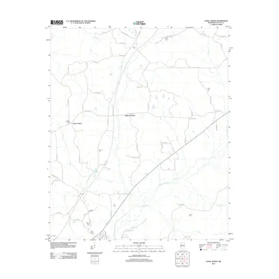
2012 Map of Ethel North
USGS Topo · Published 2012About this map
Multona Springs and the surrounding rural uplands of Attala County are defined by a network of small creeks and a high concentration of community burial grounds in this 2012 survey. The landscape is dominated by the Yockanookany River and its many tributaries, including Black Cr, Cole Cr, and Zilpha Cr. This map is particularly valuable for genealogical research, as it documents numerous local landmarks such as Liberty Chapel Cem, Berea Cem, White Plains Cem, and Pilgrim Cem. The presence of the Natchez Trace Pkwy and Old Trace Rd cutting through the center of the sheet reflects the deep historical transit patterns of the region, while the small settlements of Liberty Chapel and Multona Springs anchor the local topography.
Find a feature on this map
68 named features on this map. Tap any name to fly to it.
Don’t see what you’re looking for? This feature index may not catch every label — zoom into the map to look around manually.
Map Details
Editions of this 2012 Ethel North Map
This is the sole edition of this map. No revisions or reprints were ever made.
Other maps of this area

1953 · West Point
USGS Topo · 1:250,000

1958 · West Point
USGS Topo · 1:250,000

1963 · West Point
USGS Topo · 1:250,000

1964 · Kosciusko NE
USGS Topo · 1:24,000

1964 · Kosciusko
USGS Topo · 1:24,000

1966 · Poplar Creek
USGS Topo · 1:24,000

1966 · Kosciusko
USGS Topo · 1:62,500

1966 · Weir
USGS Topo · 1:24,000

1966 · French Camp
USGS Topo · 1:24,000

1968 · Weir
USGS Topo · 1:62,500